
Trail Update
August is always a busy month in the Alps. The low average number of rainy days and mostly warm weather create ideal conditions for spending up to two weeks outside! By this time of year, most hikers have completed their legendary trails in the Alps, and we congratulate everyone who has accomplished their goal. While the beauty of the mountains is undisputed, we admire the fact that every hiker has to dig deep to reach the finish line. If your hike is still to come, I wish you the best.
This blog post has the latest trail updates from the 3 trails we support;
In summary, the Walker’s Haute Route and Tour of Monte Rosa have trail changes to be aware of; the Tour du Mont Blanc just has some updates to note.
When you head out on the trail, remember that the most up-to-date trail information always comes from those coming towards you on the trail and local hut staff, followed by updates that people share online promptly.
Walker’s Haute Route
We thank Gary K and Raff Mann for bringing us the latest updates from the trail. You can find last months trail report here.
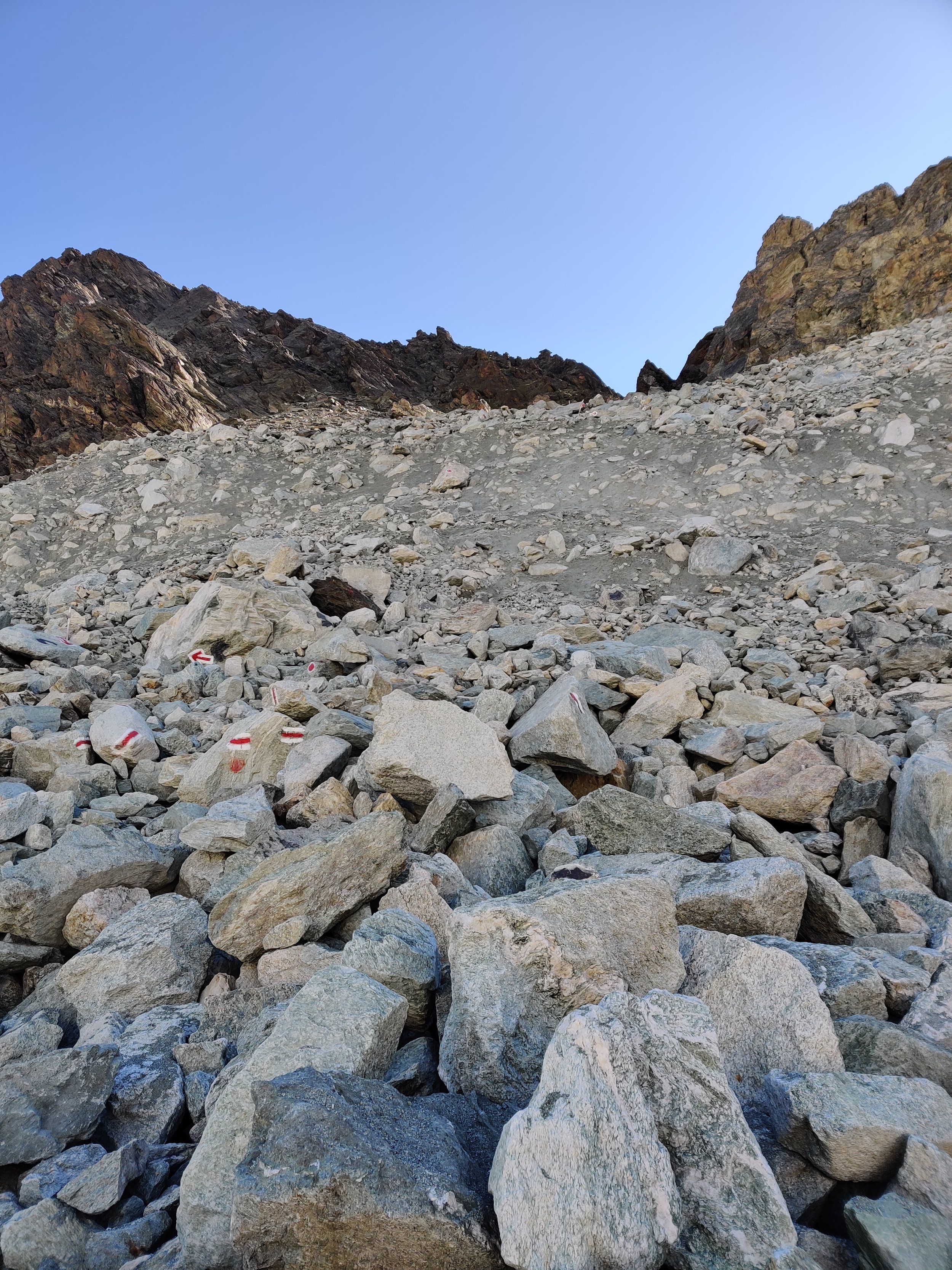
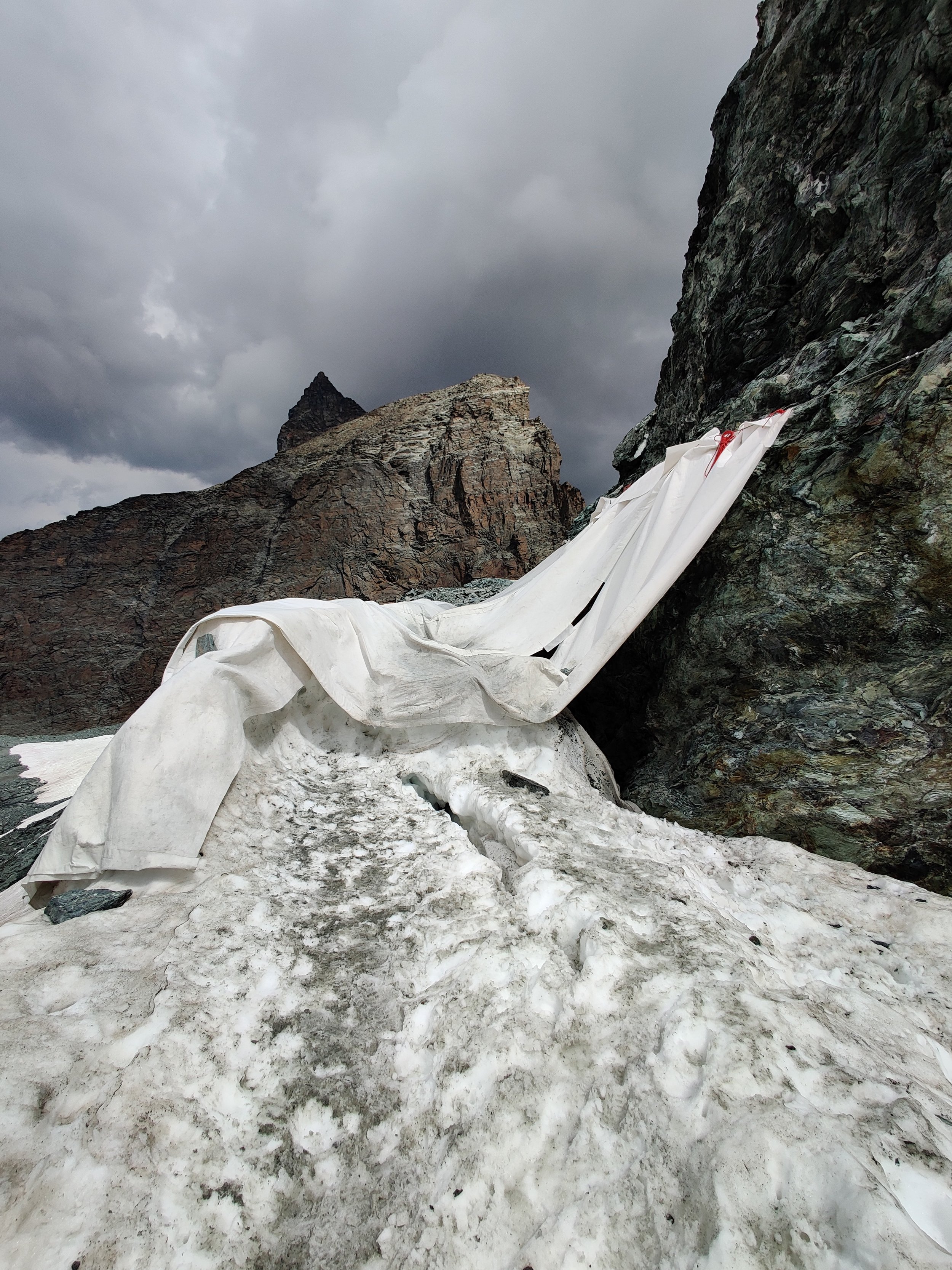
Cabane Des DIx advising not to cross Cheilon Glacier
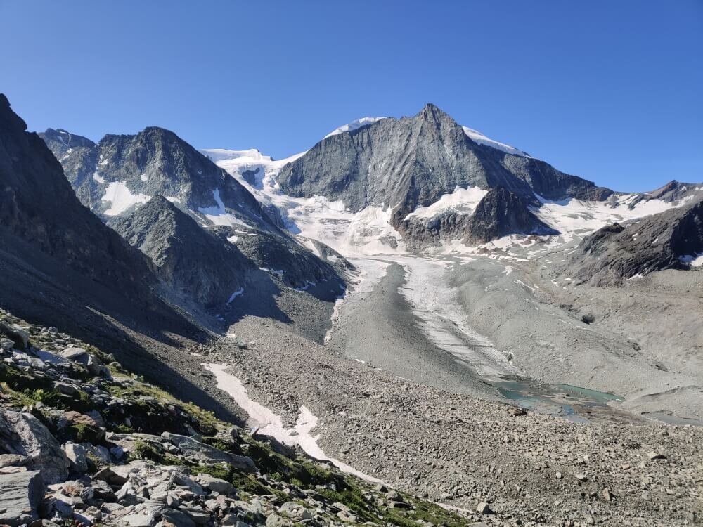
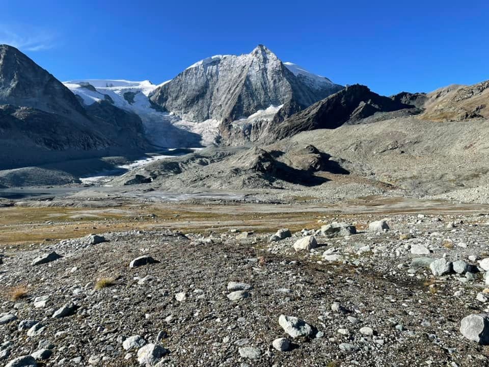
After our last trail update in July sharing how challenging it was to cross the glacier this summer, the guardian at Cabane des Dix has now advised that they are recommending that no hikers cross the Cheilon Glacier for the remainder of this hiking season. Although it doesn’t technically prevent you from crossing at your own risk, it does mean that they have not been able to identify a safe passage for hikers to cross and therefore have not put out their mobile trail markers.
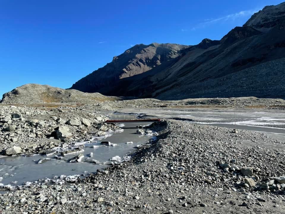
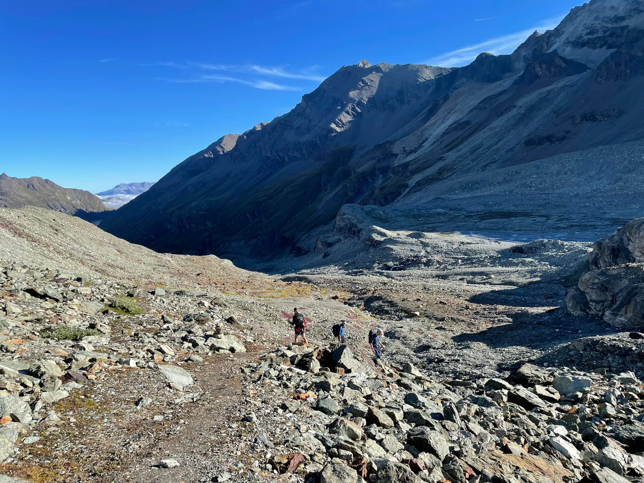
They have cut a new trail that begins near Cabane des Dix and goes around the moraine base, where it rejoins with the trail from Pas du Chat to Pas de Chevres / Col de Riedmatten. It’s an excellent trail that is well marked with cairns, red paint, and the occasional pole that are all spaced about 5 m apart. The trail drops down the moraine, crosses the glacial plain, and then joins up with the direct trail after a bridge. This trail requires less than the 1 hr 15mins of hiking required to go back on the same trail to Pas du Chat and then continue onto Pas de Chevres / Col de Riedmatten - whilst enjoying a closer view of the glacier.
We thank Gary K for providing this update to the Haute Route hiking community.
recommendation to take Col de Riedmatten instead of Pas de Chevres

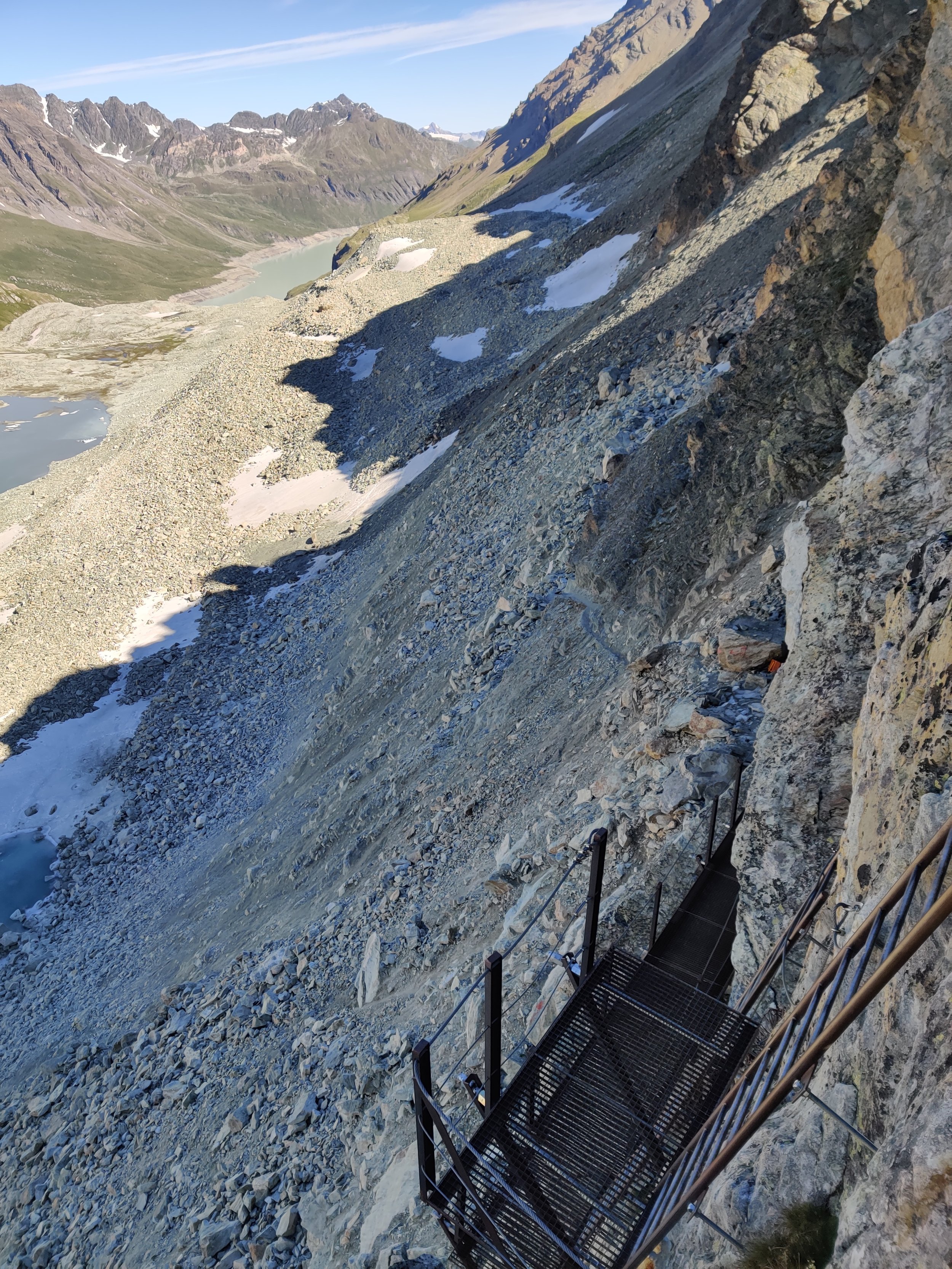
The Cabane Des Dix guardian also does not recommend crossing Pas de Chevres because he considers it too dangerous and only recommends using the Col de Riedmatten. He has made a recommendation to the Alpine Club to close the trail, but no action has been taken yet.
It is not that the ladders are too dangerous, but the trail itself is starting to slide away from the main rock face just below where the ladders a fixed, and he believes that one day it’ll just collapse altogether. He says just because people are still using it doesn’t mean it’s safe.
I have previously recommended using Pas de Chevres rather than Col de Riedmatten because it requires you to spend less time in the rockfall zone; however, with this advice, I’ll be changing my recommendation to Col de Riedmatten.
We thank Gary K for providing this update to the Haute Route hiking community.
The original Europaweg trail is impassable but still on maps
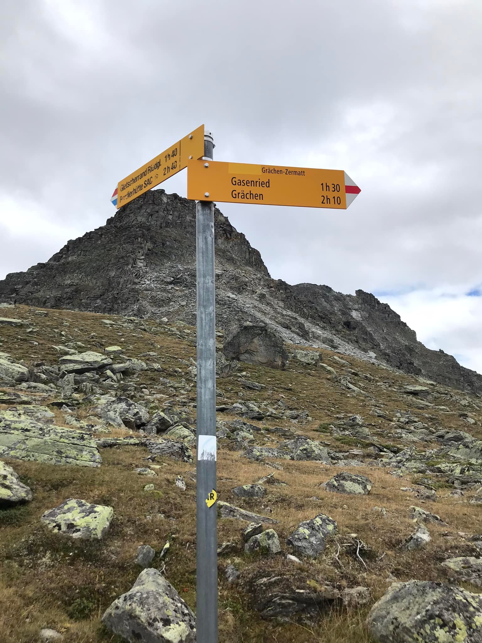
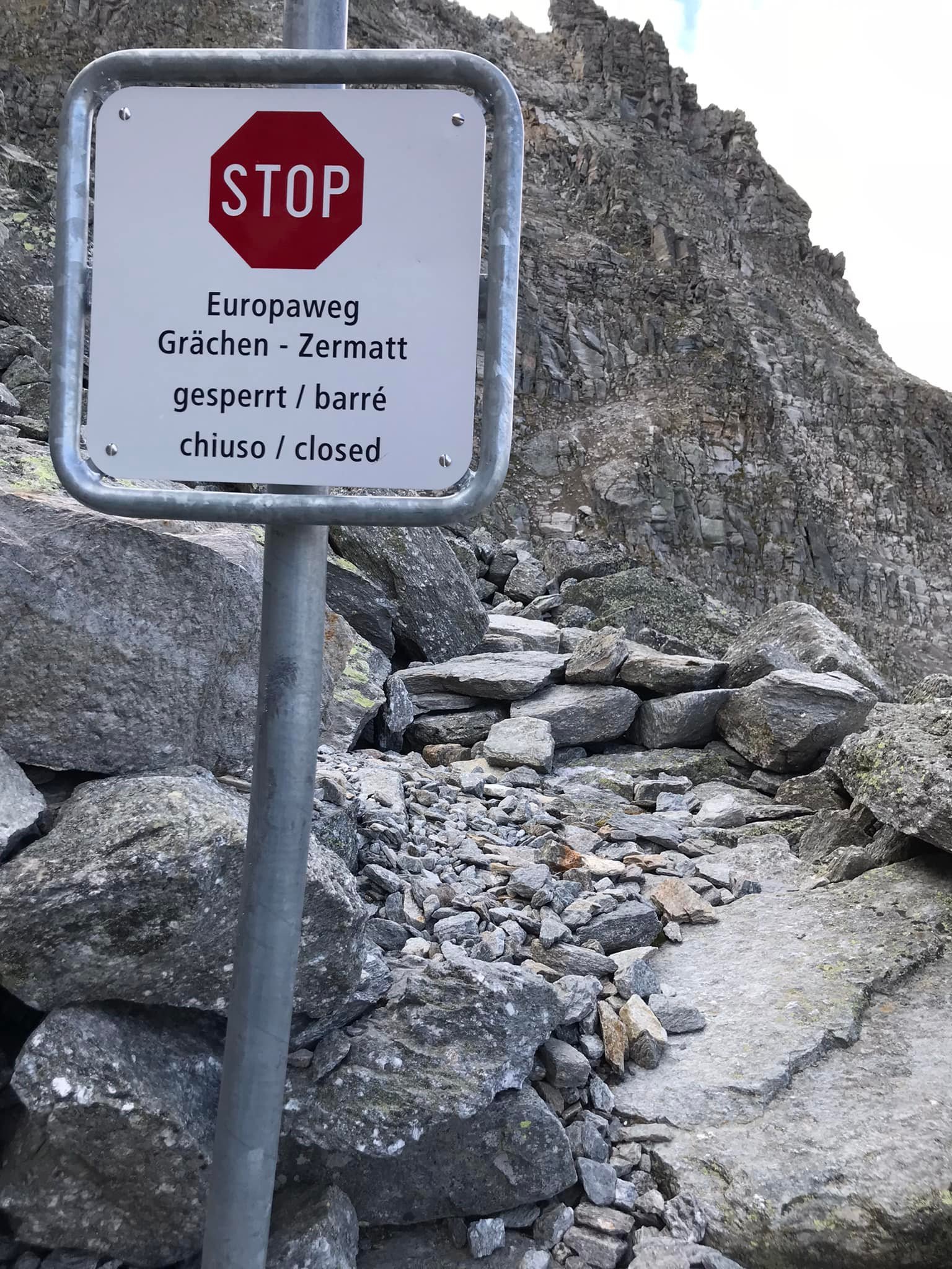
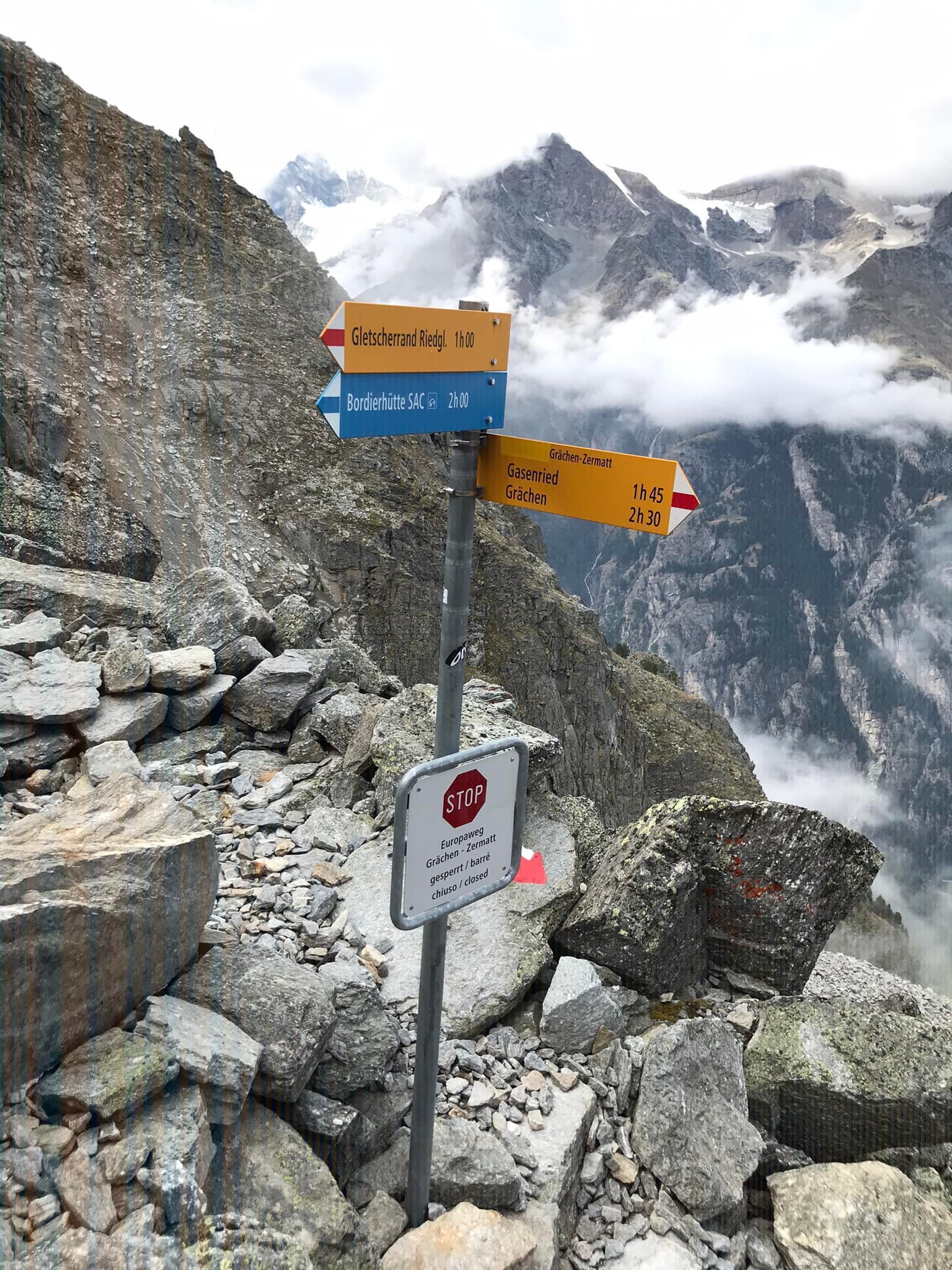
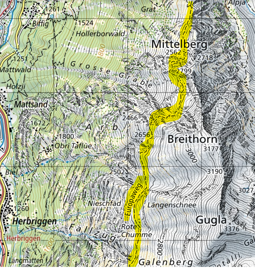
At the end of summer 2018, a key section of the Europweg trail between Grat and Galenberg was destroyed by a large rockfall. After assessment by the local trail authority, it was determined that a new, safer route needed to be established. The original route was permanently closed as it is too susceptible to further rockfall events. Instead, a new route was established lower down that would connect Gasenried with Herbriggen before leading back up to the balcony trail and continuing to Europahutte and ultimately Zermatt.
After completing the original route in 2017, I have been following along and providing updates on the local decisions and developments regarding the closure and re-routing of the Europaweg trail. Given the new Europaweg trail has now been permanently established, the ‘closure’ label has been taken off the original route in the Swiss map database; however, the ‘Europaweg’ label has not been removed. This has caused some ongoing confusion and many people to wonder if it is in fact possible to complete the original route between Grat and Galenberg.
Raff Mann decided to check out the trail's condition, and we thank him for providing the following update to the Walker’s Haute Route and Tour of Monte Rosa hiking communities. Without his strength to endure a 16-hour day to bring forward this update, many would still wonder and potentially attempt the original trail that may not be capable of still reaching their planned destination.
“I wanted to see the condition of the old Europaweg. I took the old Europaweg from Gasenried to the sign saying it's closed. Beyond that and right to Europahütte, the old Europaweg has not only been closed but also abandoned. It simply does not exist. All chains removed (which I could see across the boulder field that destroyed a stage of the Weg), and all bridges removed (as told by guardian of Europahütte). So despite the fact that so many maps/apps show the Europaweg label on this section, please be advised once and for all: it is defunct. You can take the (original) Europaweg only from (just before) Europahütte to Zermatt, period. So my advise is: Forget about the Europaweg between Grächen and Europahütte. It's gone and for a reason: the erosion on this part is massive, rocks are falling all the time, and it would be really super dangerous to keep it.”
I think anyone who is considering the original trail and decide against it based this report owes Raff a refreshing beverage :)
Tour du Mont Blanc
No issues reported that require major route detours, but we have some updates of interest. You can find last month’s trail report here.
Rain downpours have been affecting the trail
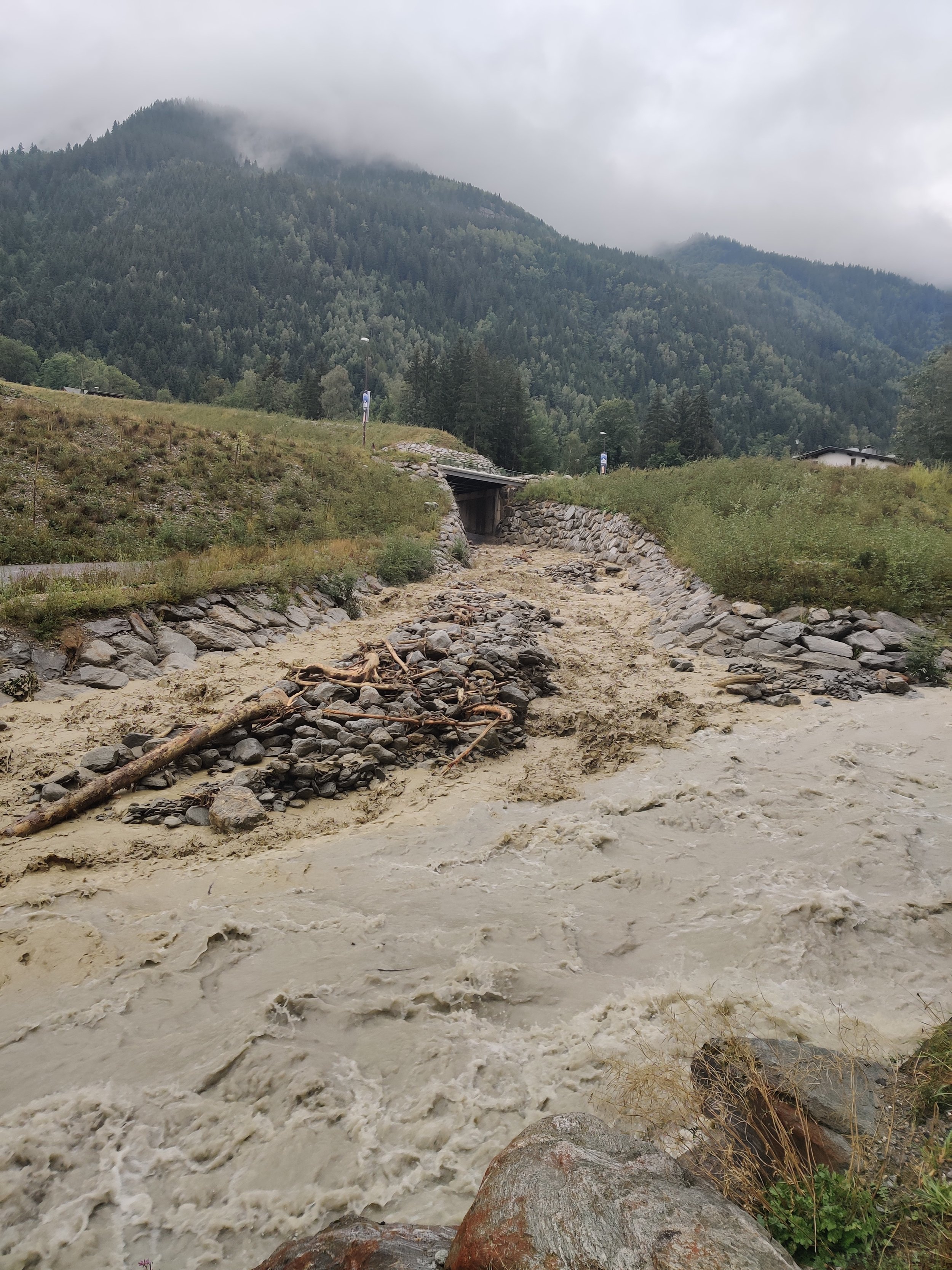
With a hot, dry summer, I wanted to share some examples of the types of natural events that can occur when it rains.
The first is that rain is slow to absorb into the ground and runs quickly off the watershed into the streams and rivers.
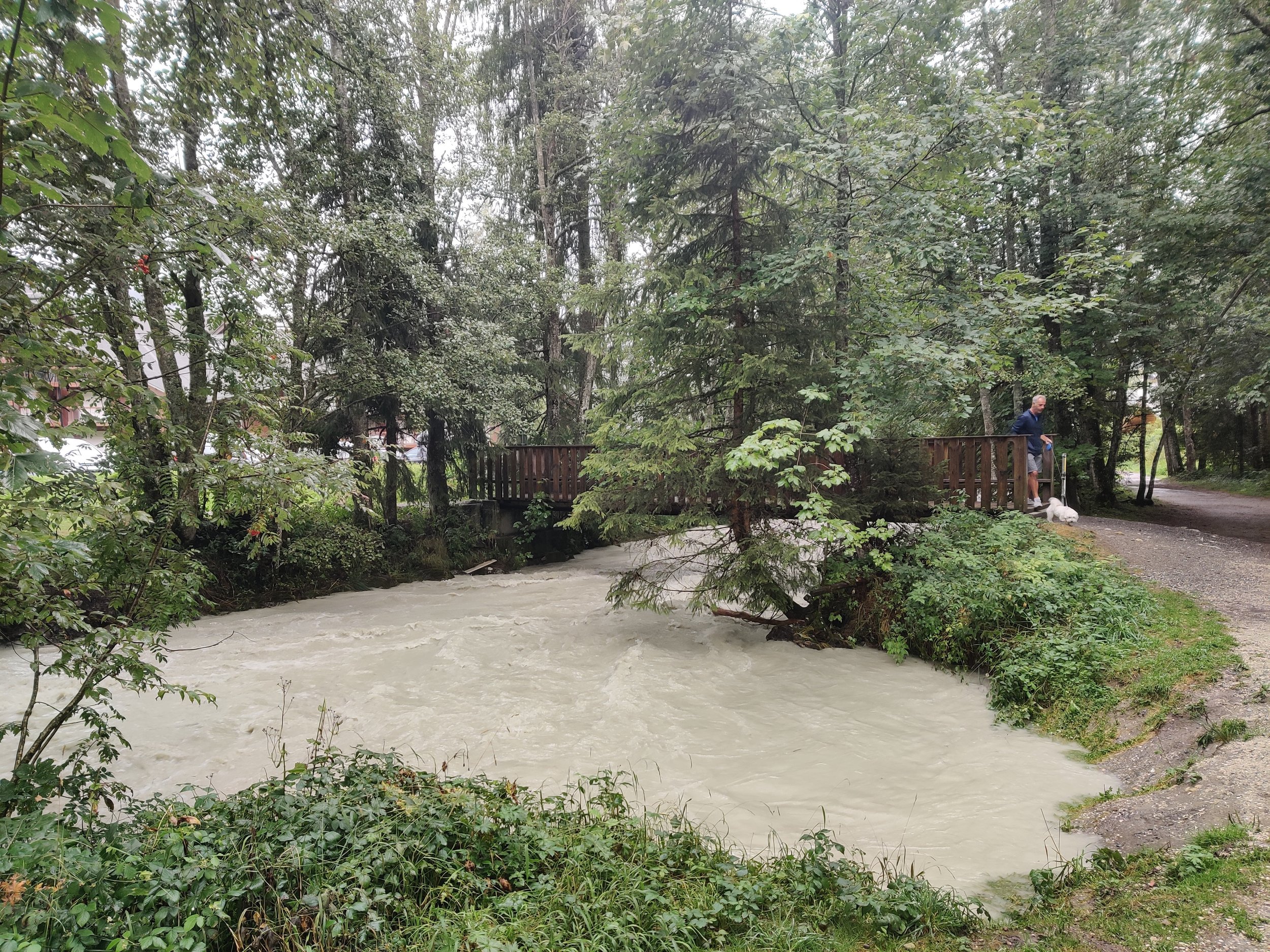
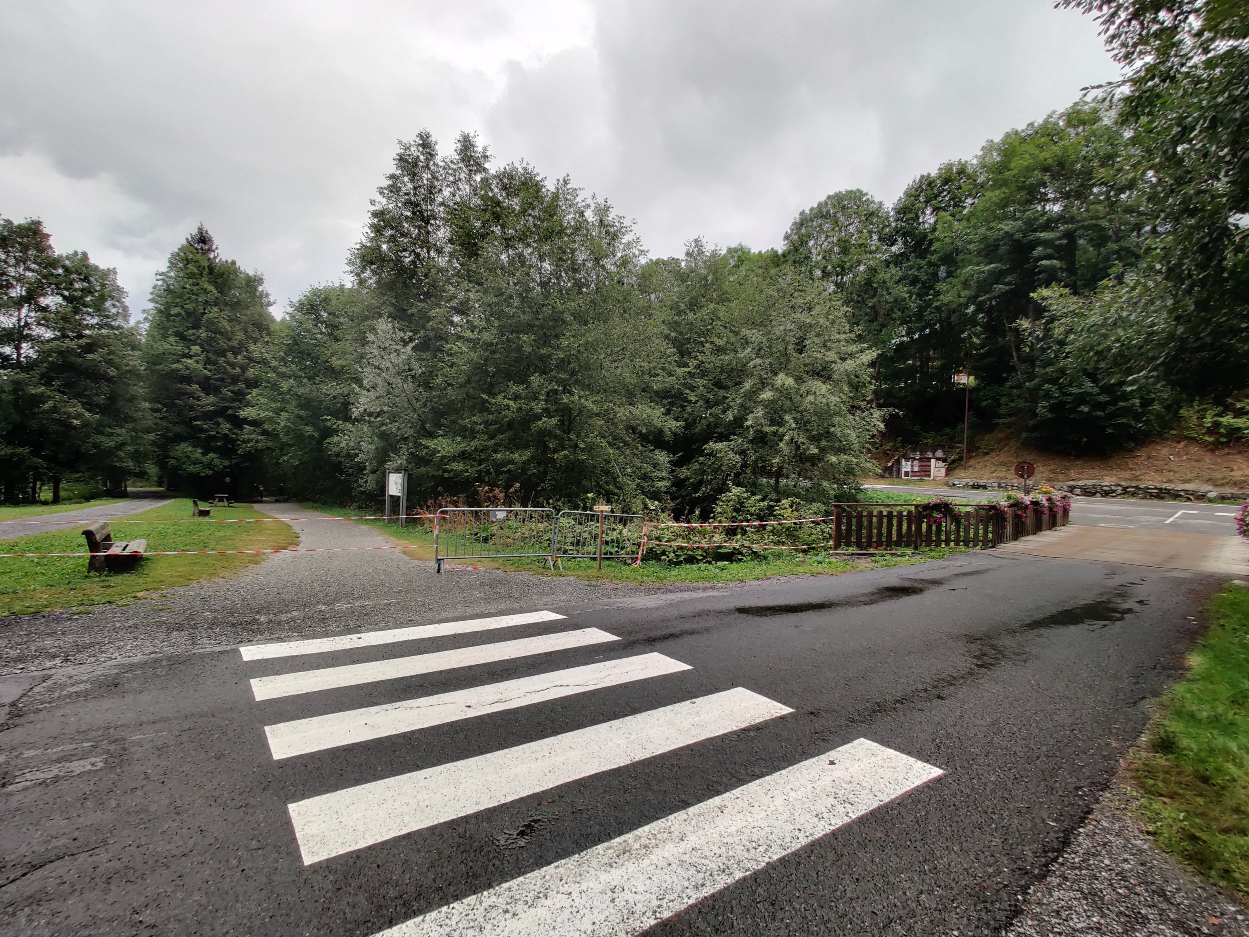
Last week in the Réserve naturelle nationale des Contamines-Montjoie watershed area, heavy rain fell overnight. This caused the Bon-Nant torrent to rise quickly, which led to the temporary closure of the Tour du Mont Blanc trail the following morning that immediately runs alongside the river. See the photos above.
Another event that can occur with more prevalence is mudslides. These occur when water quickly pours into a sloped area of land and waterlogs it, causing it to detach and slide off the more stable layers below. With prolonged hot, dry weather, cracks can open up in the land, which can let water quickly get in when it rains.
A mudslide occurred at the mouth of Val Ferret, just above Courmayeur, at the beginning of August. It closed the road and damaged the infrastructure that provides Courmayeur with water. While the Tour du Mont Blanc trail was not directly impacted, hikers staying in Courmayeur over this time went without showers and could not get drinking water from taps, and those planning to catch the bus up Val Ferret to skip some of the trails could not do so. See the video about the event below.
While there is currently no impact to the Tour du Mont Blanc hiking trail due to these events, I’m sharing these examples so you are aware of different natural events that can occur along the trail with heavy rain.
Ultra Trail Mont Blanc (UTMB) this week!
It may not be hiking but our trail running friends sure know how to put on a good show as they push themselves to the limit with some doing a lap of Mont Blanc in under 24 hours!
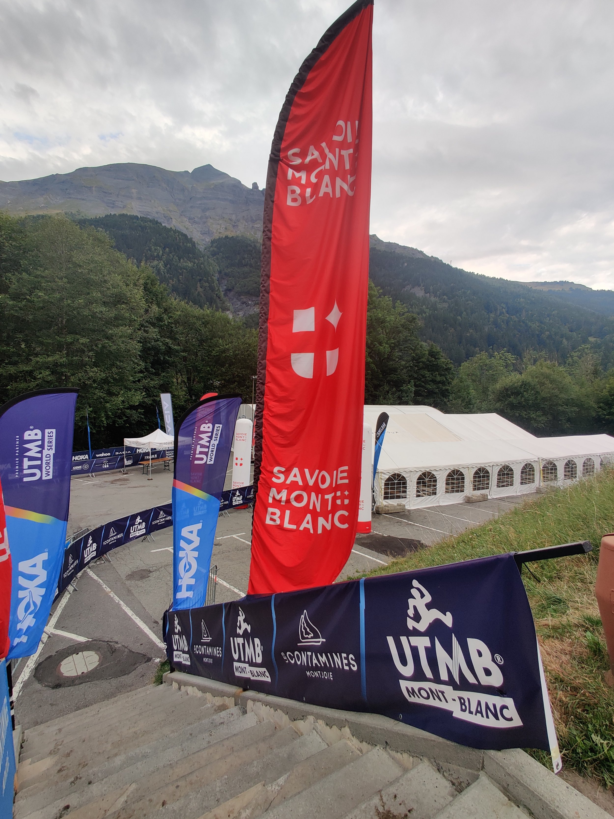
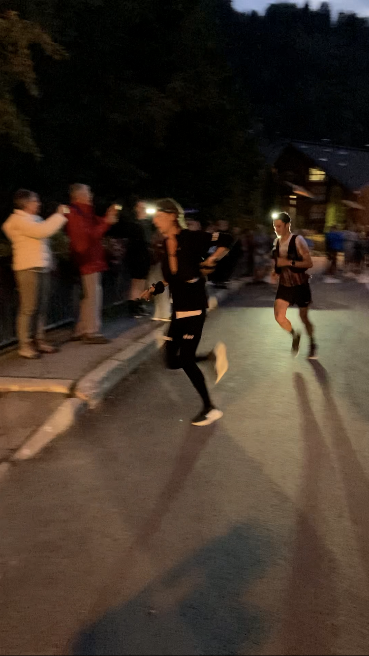
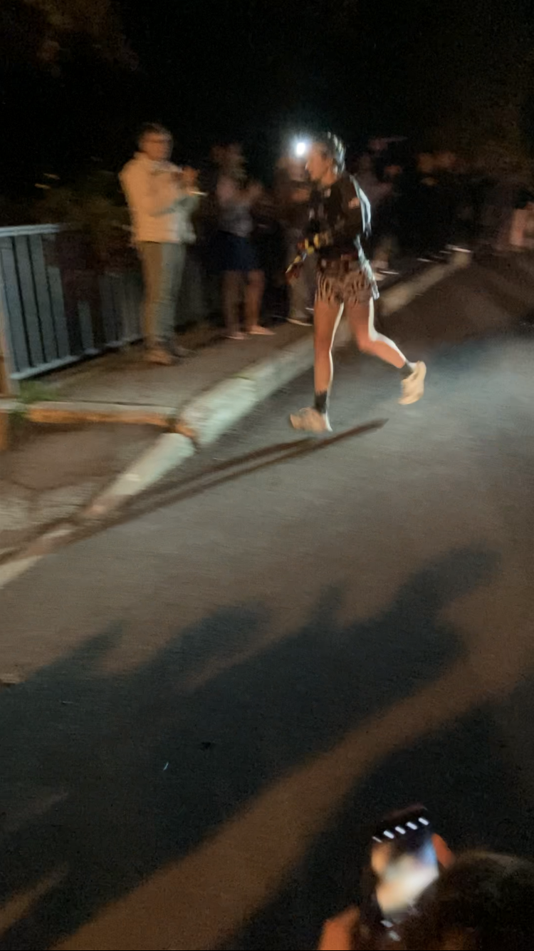
The Ultra Trail Mont Blanc (UTMB) races started on Monday, with the main event kicking off this evening at 6 pm from Chamonix. I’m just back from the trail near Les Contamines, where I was cheering on the race leaders. The runners are expected to be in Courmayeur from around 2 am, with the winners in Chamonix by about 2 pm on Saturday.
For those leaving counter-clockwise on the Tour du Mont Blanc this weekend, there will be no impact to you as all the runners have now passed this section of trail (and are moving a bit faster than you’ll be hiking ;). Those hikers currently on the trail between Courmayeur and Chamonix will likely be runners tomorrow and Sunday, as participants have until 4.30 pm on Sunday to complete the trail. Give them a cheer as they pass by!
Tour of Monte Rosa
You can find last months trail report here
Shortcut to/from Glacier Trail is closed
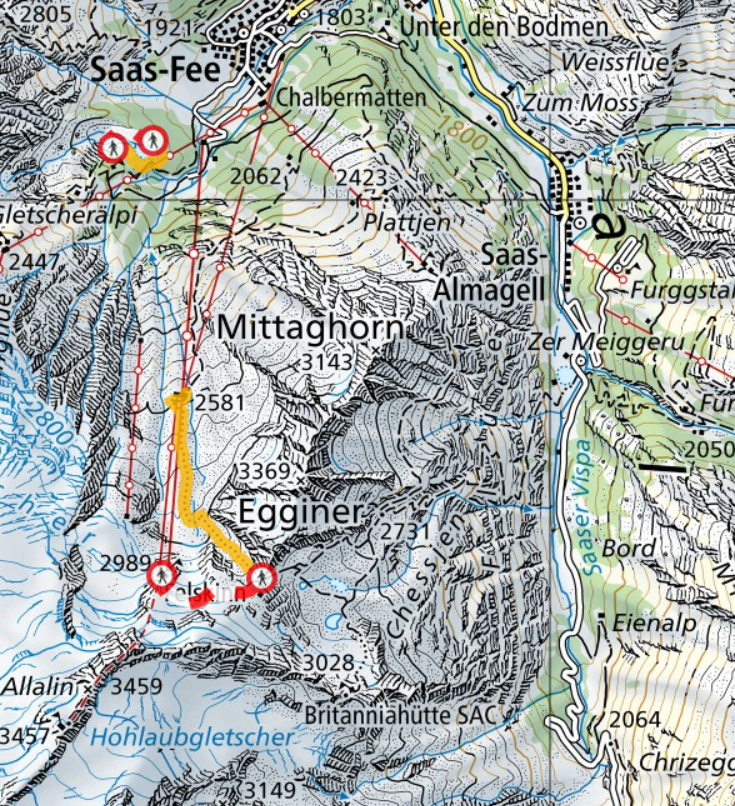
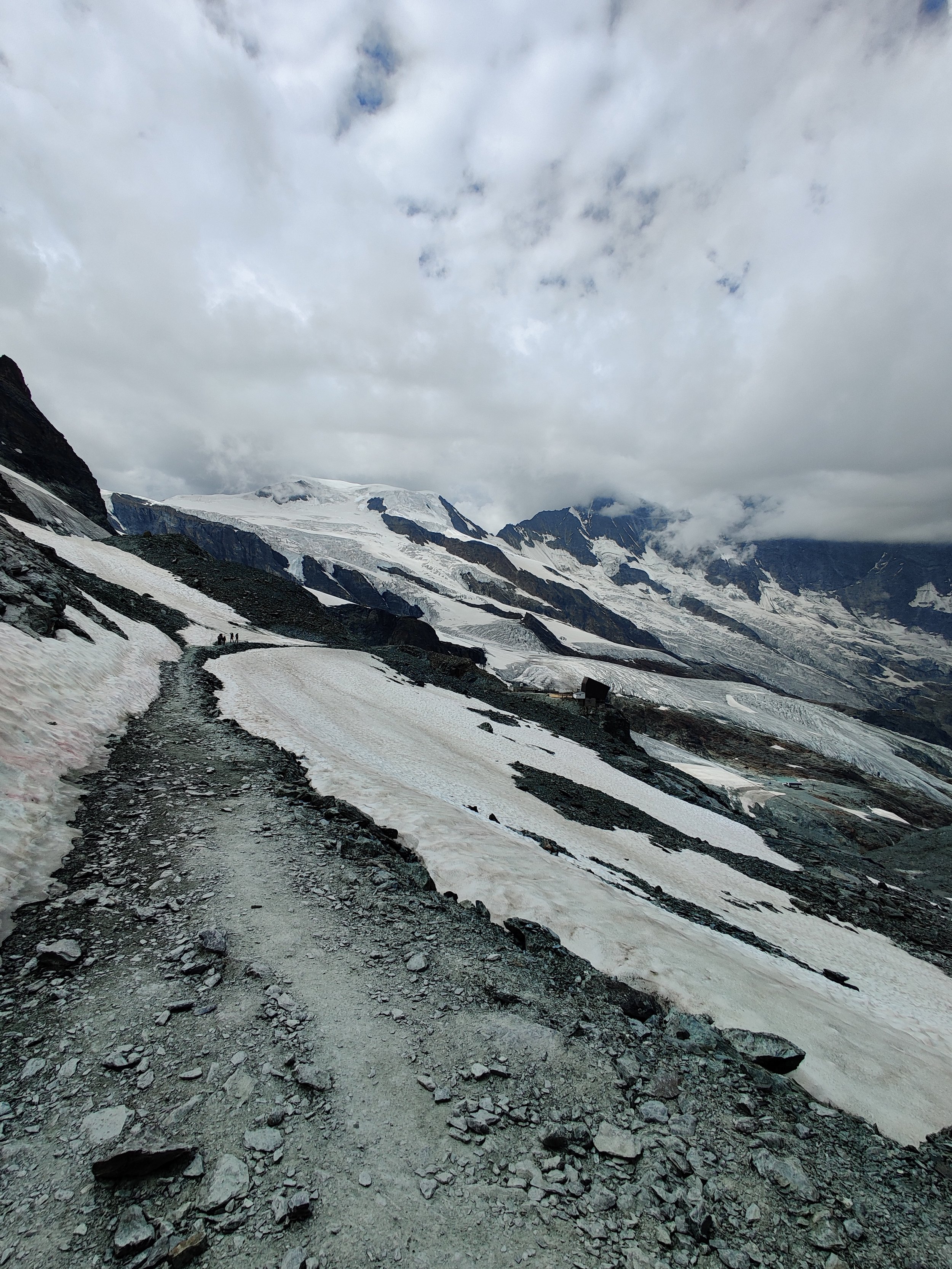
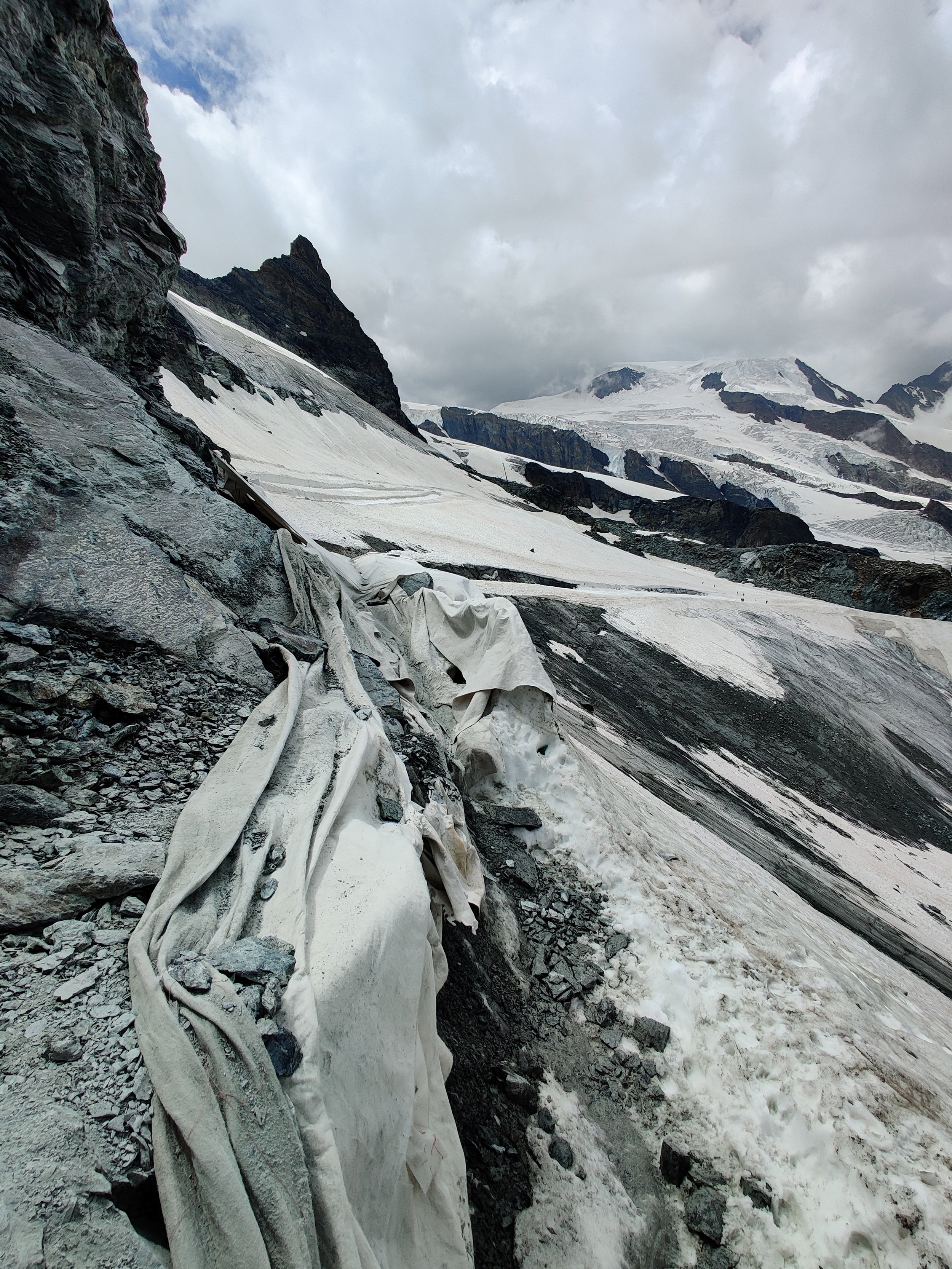
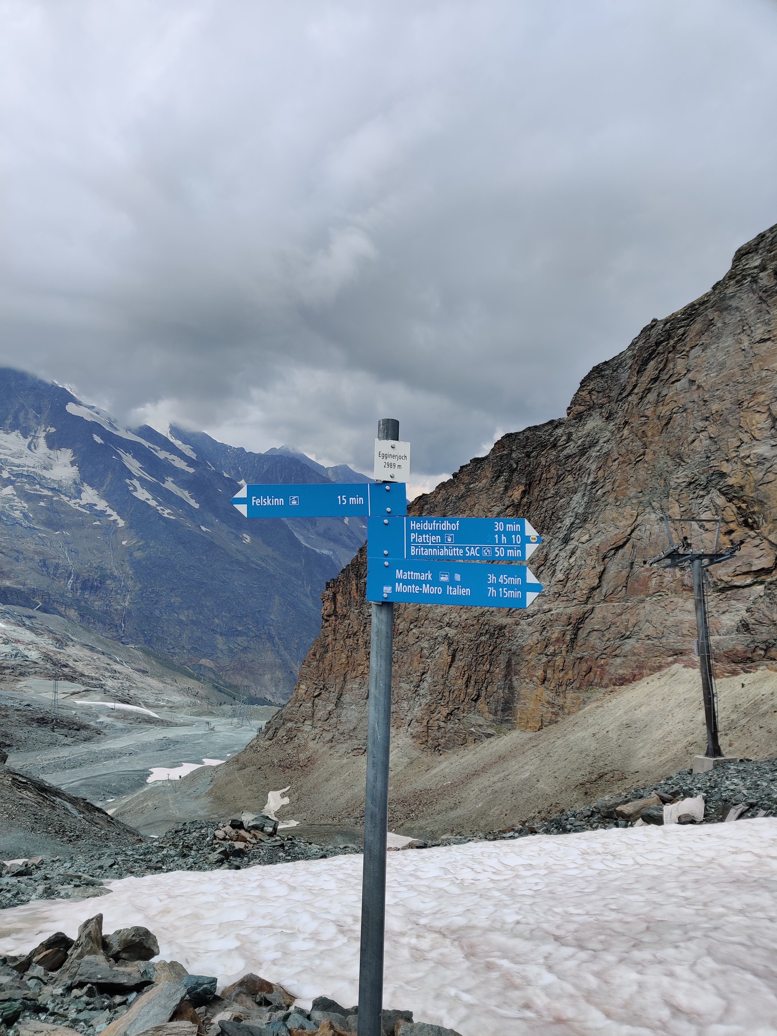
The trail between Felskinn lifts and Egginerjoch is closed. If you are thinking of catching the lifts up to Felskinn to make your day of hiking to Britanniahutte easier, you'd need to get off at the mid station and hike up from there.
The original Europaweg trail is impassable but still on maps
See update above in Walker’s Haute Route section

Brendan is a pizza-making, craft beer-loving, peanut butter connoisseur that has been exploring the great outdoors since completing the Duke of Edinburgh Award in high school. He started The Hiking Club to democratise hiking and the benefits that come from spending time in nature.
Appreciation snacks
If you’ve found our free products and content valuable, or our paid products exceeded your expectations, we have the following range of digital snacks you can buy The Hiking Club team to say thanks.
It’s just like a tip jar only much tastier ❤️


