Tour of Jungfrau Region | Complete Guide
Everything you need to plan, book and self-guide this extraordinary multi-day hike through the Swiss Alps
The Tour of Jungfrau is one of the legendary trails located in the Bernese Oberland region of Switzerland. It navigates past the iconic mountain peaks of the Eiger, Mönch, and Jungfrau, traverses on ridgelines above the Thun and Brienz lakes that hug the famous Swiss town of Interlaken, wanders past hanging glaciers, and explores the alpine farming meadows deep in the Lauterbrunnen valley. If you are looking to get an authentic Swiss hiking experience, this tour is right for you. With a plethora of mountain huts and hotels, serving local cuisine, your weary hiking legs can rest in a comfortable bed, with a full stomach, watching the alpenglow on the Jungfrau-Altesch-Bietschhorn UNESCO World Heritage Site. For those who wish to utilise the impressive network of mountain transportation, there are cog railways, gondolas, buses, and trains, to boost you up (or down!) the steep mountain landscape.
Updated for the 2026 hiking season, based on hut bookings, latest routes and transport options.
KEY TRAIL STATS FOR “CLASSIC” ROUTE
Country: Switzerland
Number of days: 5 - 10 days
Distance: 106 km / 66 mi
Highest point: 2,969m / 9,740ft (Schilthorn)
Elevation Gain: ↑ 6,623m / 21,729ft
Elevation Loss: ↓ 8,005m / 26,263ft
Season: Late June to end September
Difficulty: Moderate
Start location: Schynige Platte
End location: Wilderswil
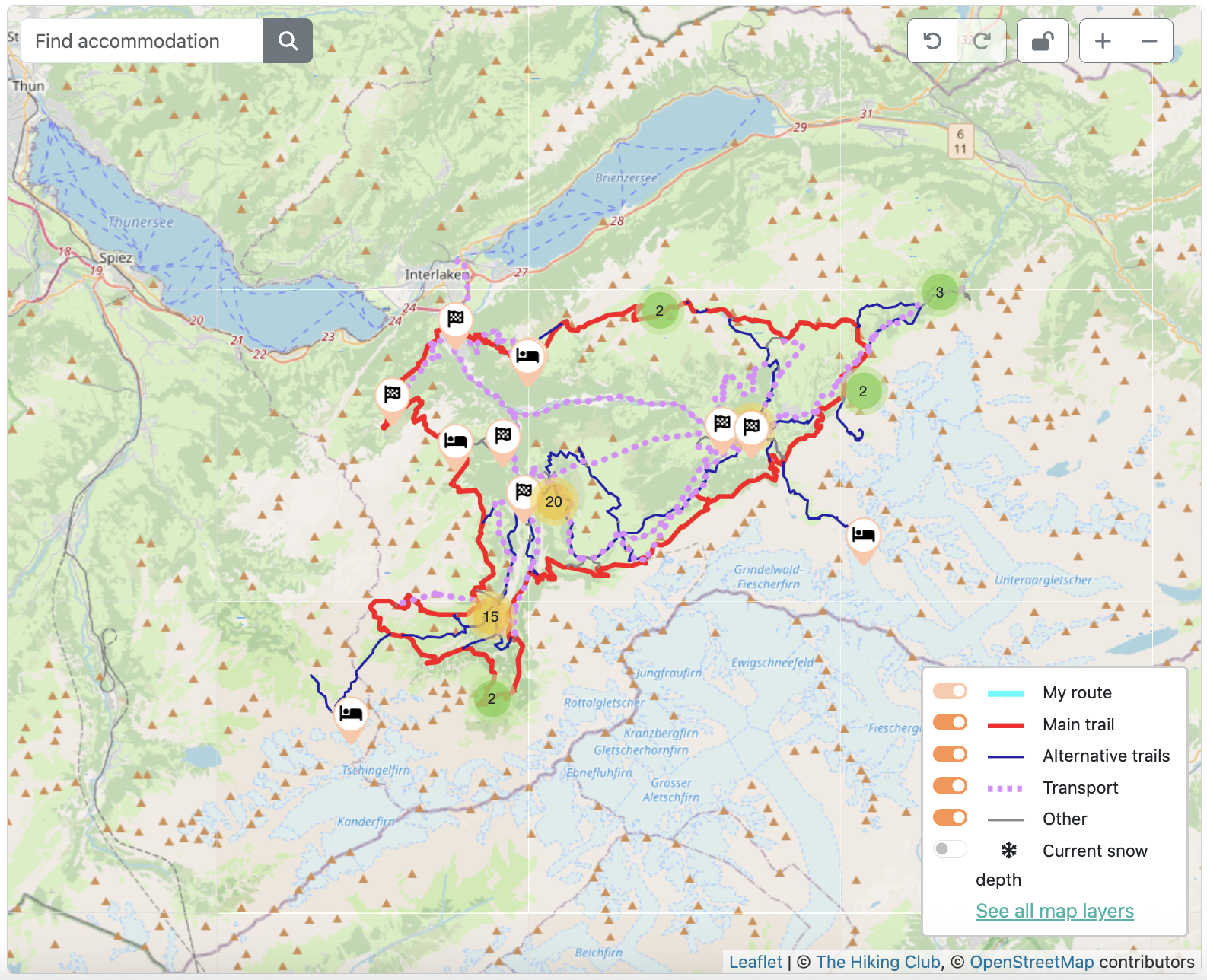
Tour of Jungfrau Region: High level map from our planning app showing the loop trail that is located South of Interlaken in the Bernese Oberland region of Switzerland.
WHERE IS THE TOUR OF JUNGFRAU REGION?
The Tour of Jungfrau region is located in the Bernese Oberland, Switzerland. It typically follows a clockwise direction, starting at Schynige Platte and ending in Wilderswil. Although there is a “classic” route, there are many route variants for hikers to choose from, including routes to remote mountain huts such as Gleckstein hut, via alpine villages such as Mürren, or to a see a specific highlight, such as Trummelbach Falls.
Along the route there are many hiking trail signs, however they don’t mention the Tour of Jungrfrau route. Therefore, it is important for hikers to know their daily route and to use a gps map to navigate correctly when reaching the frequent trail junctions.

Mürren, alpine village inaccessible by automobile.
CLASSIC TRAIL HIGHLIGHTS
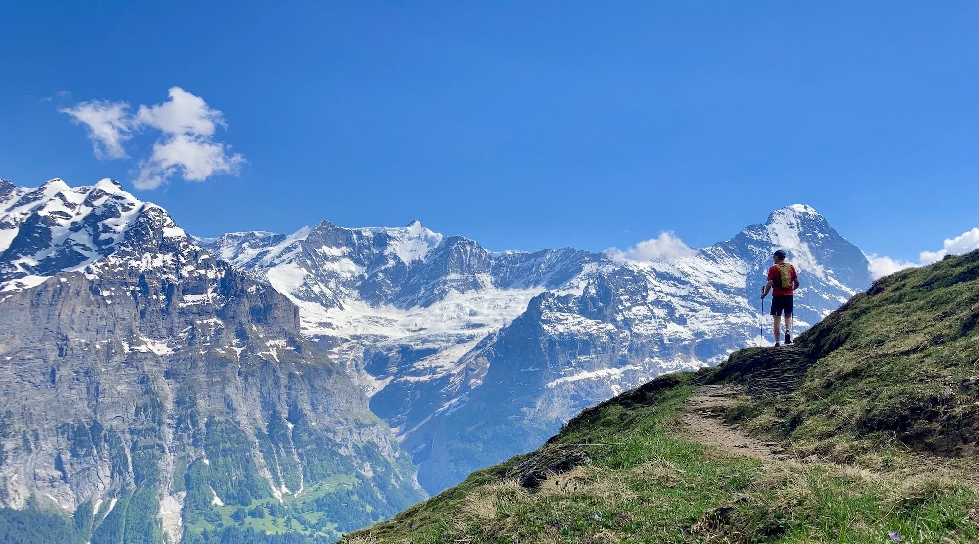
Faulhornweg is a breathtaking ridge walk that provides panorama views to the North of Thun and Brienz lakes and to the South of Eiger, Mönch and Jungfrau.
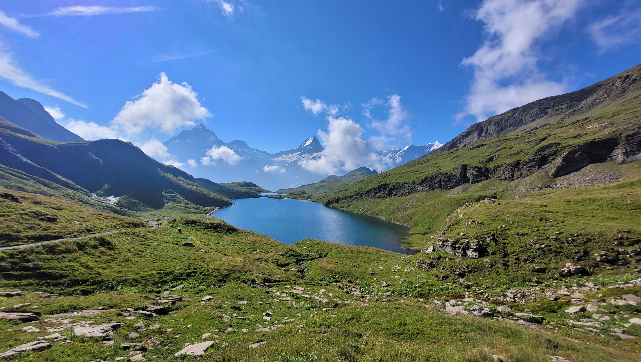
Bachalpsee is a stunning alpine lake located at 2,266m / 7,434ft. On a calm day a mirror image of the mountains is created in the beautiful, clear, blue waters.
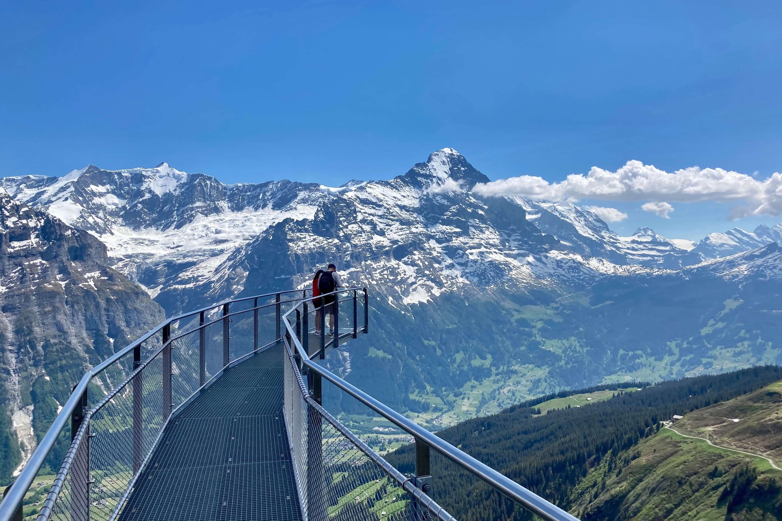
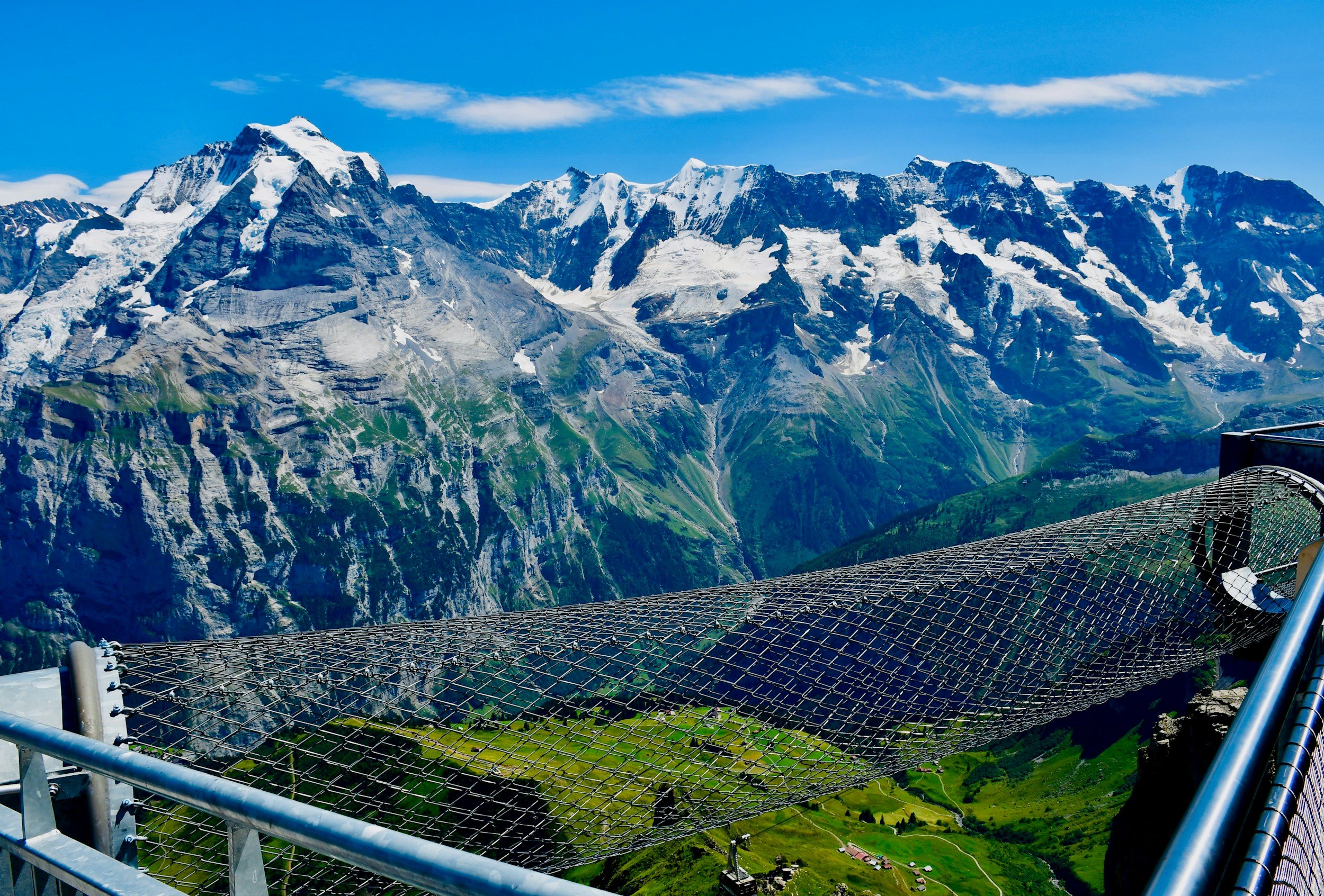
The First cliff walk takes you on an impressive metal walkway, bolted to the sheer cliff face, with a vertical drop of a hundred metres right beneath your feet.
Grosse Scheidegg is a historic pass used for many hundreds of years by farmers and traders driving their cattle between the alpine valleys. Stunning views down to Grindelwald.
The Eiger Trail traverses directly beneath the mighty north face of The Eiger. It is possible to spot many of the features on the route taken by the first ascensionists: the White Spider, the Hinterstroisser Traverse and Death Bivouac, to name a few! You can also spot the “Gallery Windows”, where the train inside the mountain stops to allow passengers a view into the void!
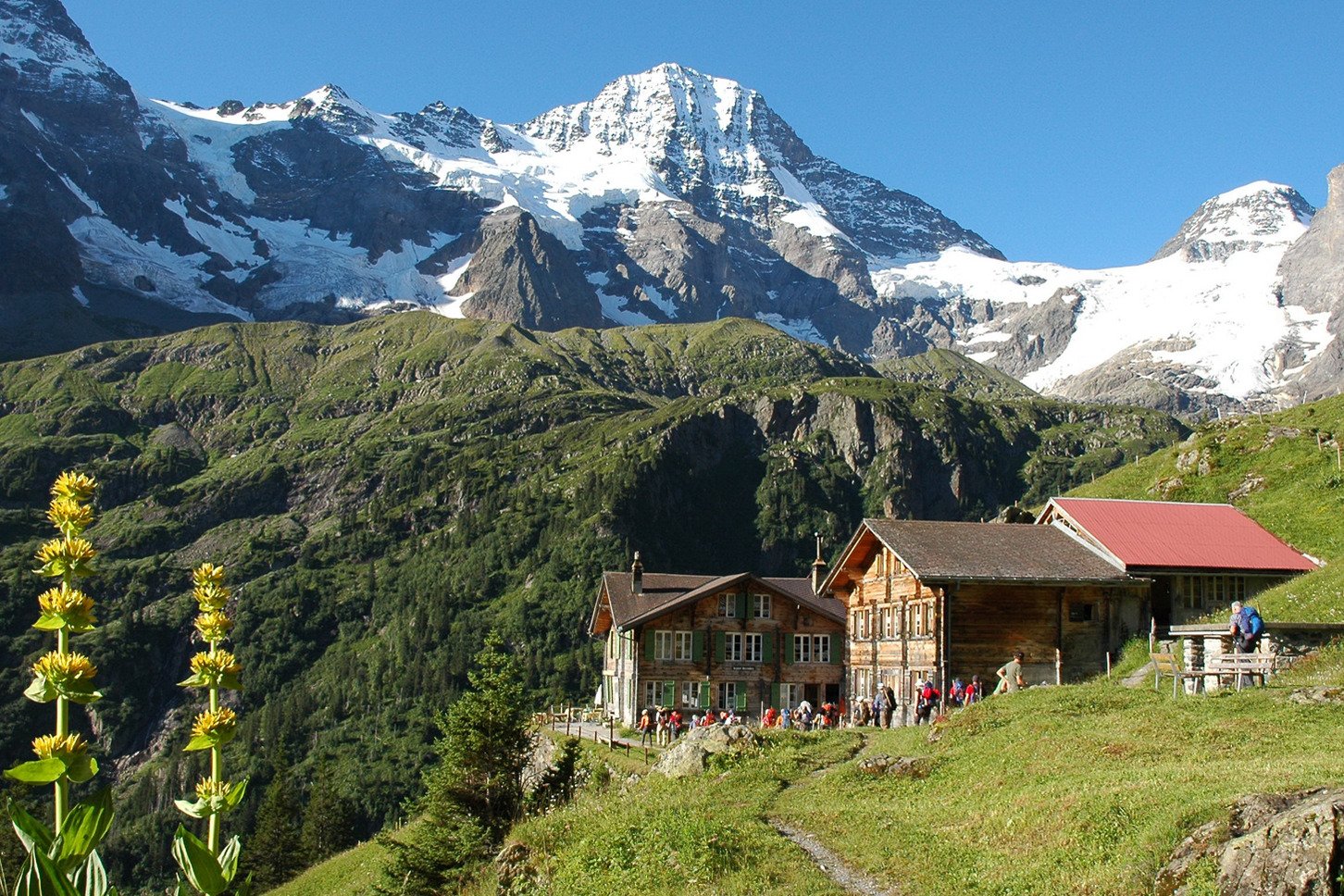
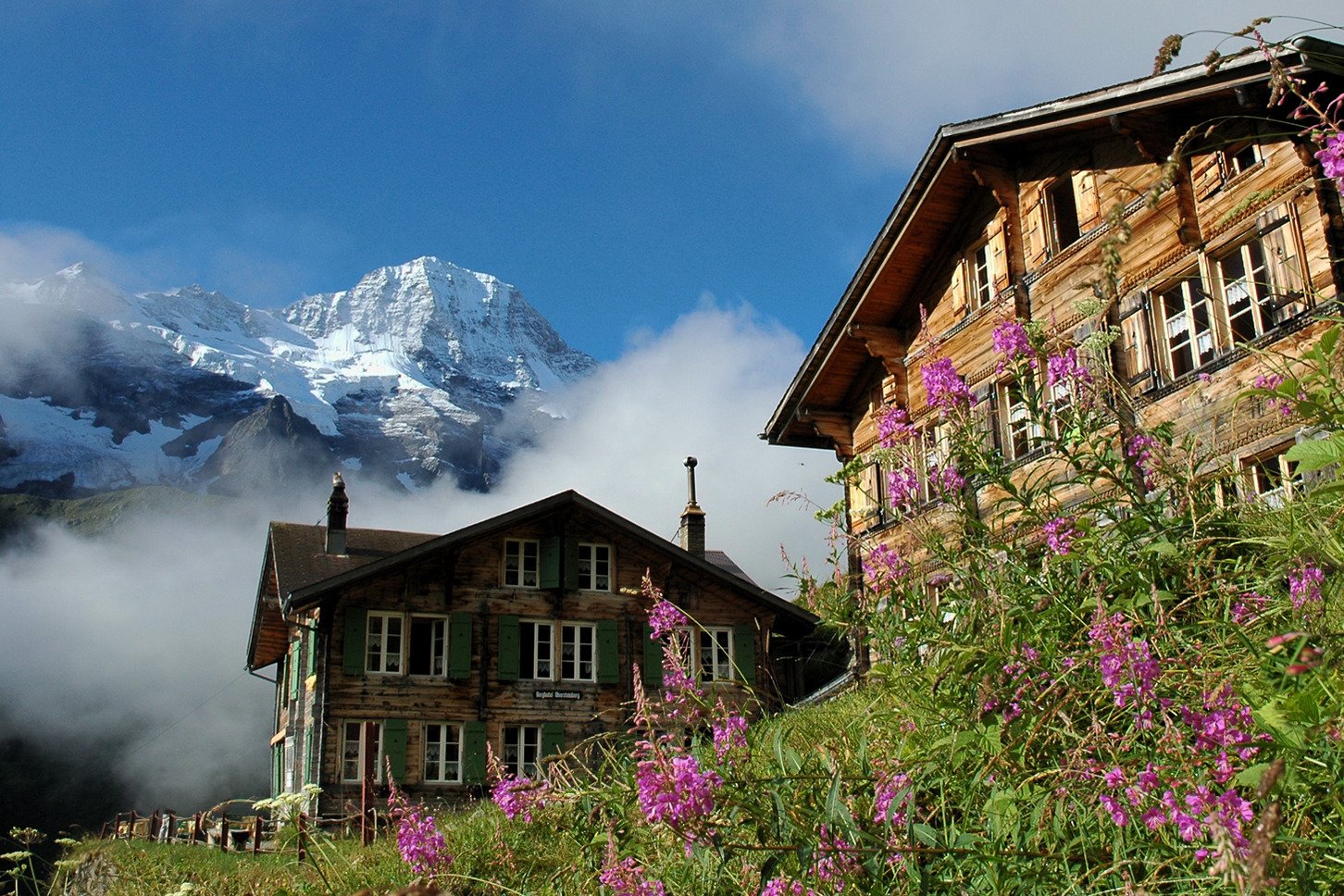
Obersteinberg Mountain Hotel is like a step back in time. The hotel has been operating (during the summer season) since the 1880s and little has changed since then. There is no electricity and you are provided with a candle to illuminate your room after dark. Dinner is a rustic and hearty affair, typical mountain cuisine, and also candle lit.
The Schilthorn summit is the highest point on the tour and is a challenging climb that rewards hikers with stunning views of the Jungfrau and surrouding mountain ranges. Don’t assume you’ll be alone though as a cable-car brings tourists from the valley below.
Blumental sits above the alpine town of Mürren and is surrounded by working farms where you can buy fresh cheese and milk.
See sample TOur of jungfrau region itineraries
HOW LONG DOES IT TAKE TO HIKE THE tour of jungfrau region?
It typically takes between 5 and 10 days to complete the Tour of Jungfrau region.
It depends on which route you decide to take, where you decide to stay each night, your hiking speed, the desired number of hiking hours per day, and whether you will use transport to skip ahead on the trail.
Some hikers are up at the crack of dawn and will arrive at their accommodation in time for dinner, having hiked for 8+ hours. Whereas others prefer a slow start, long lunch at mountain hut and an early arrival at their location, having hiked 4-5 hours.

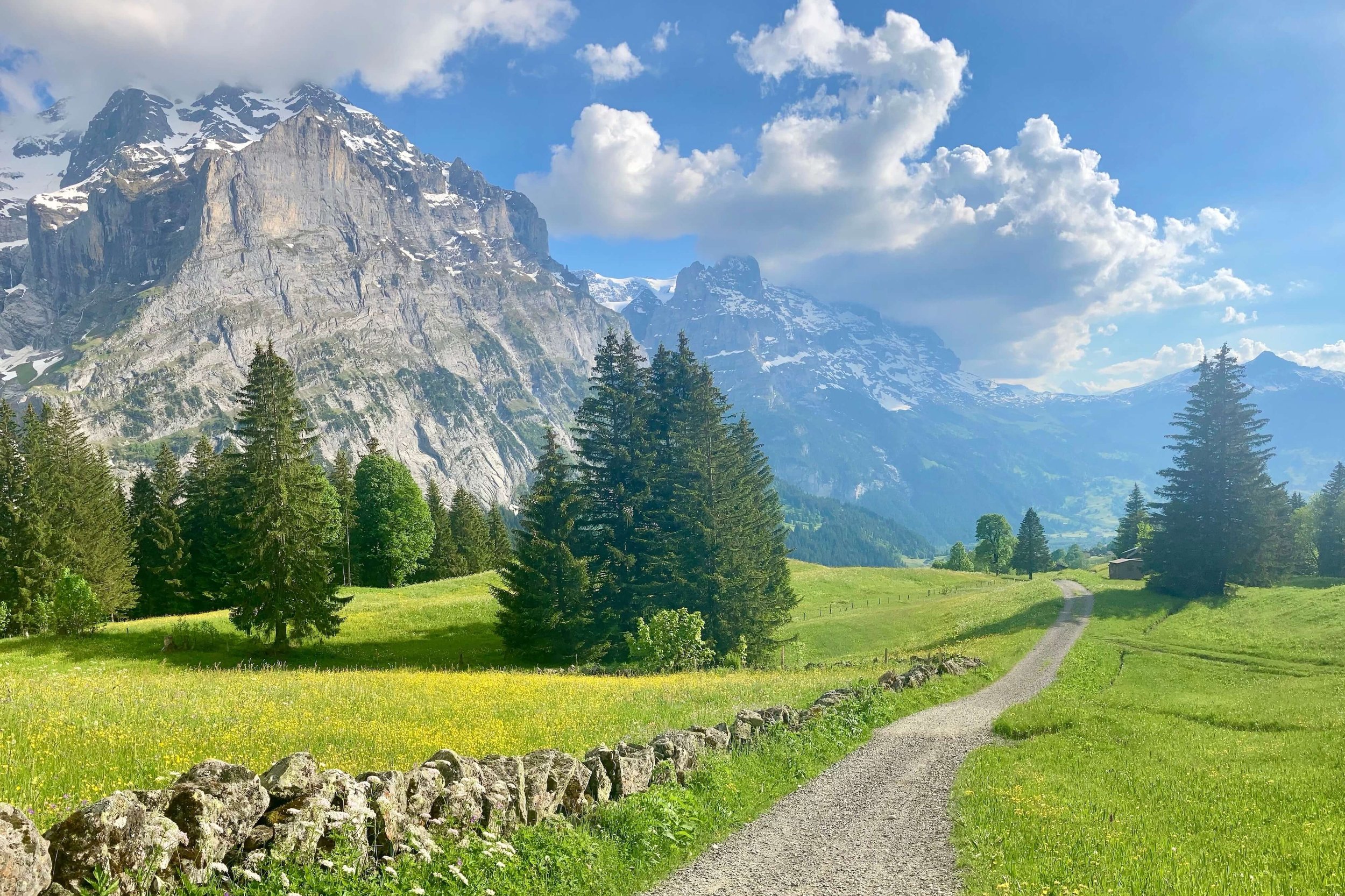
Trail near Trachsellauenen, with views of Rottal glacier soaring above the ridgeline.
WHAT TYPE OF ACCOMMODATION IS AVAILABLE ON THE TOUR OF JUNGFRAU REGION?
Hikers have the opportunity to stay in both alpine villages and mountain huts along the trail.
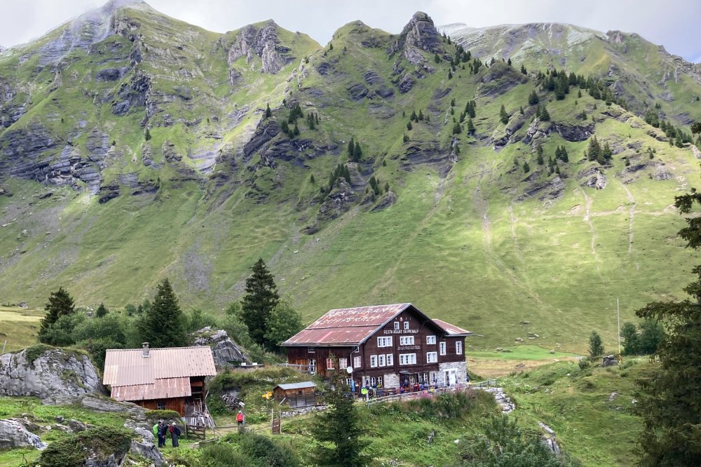
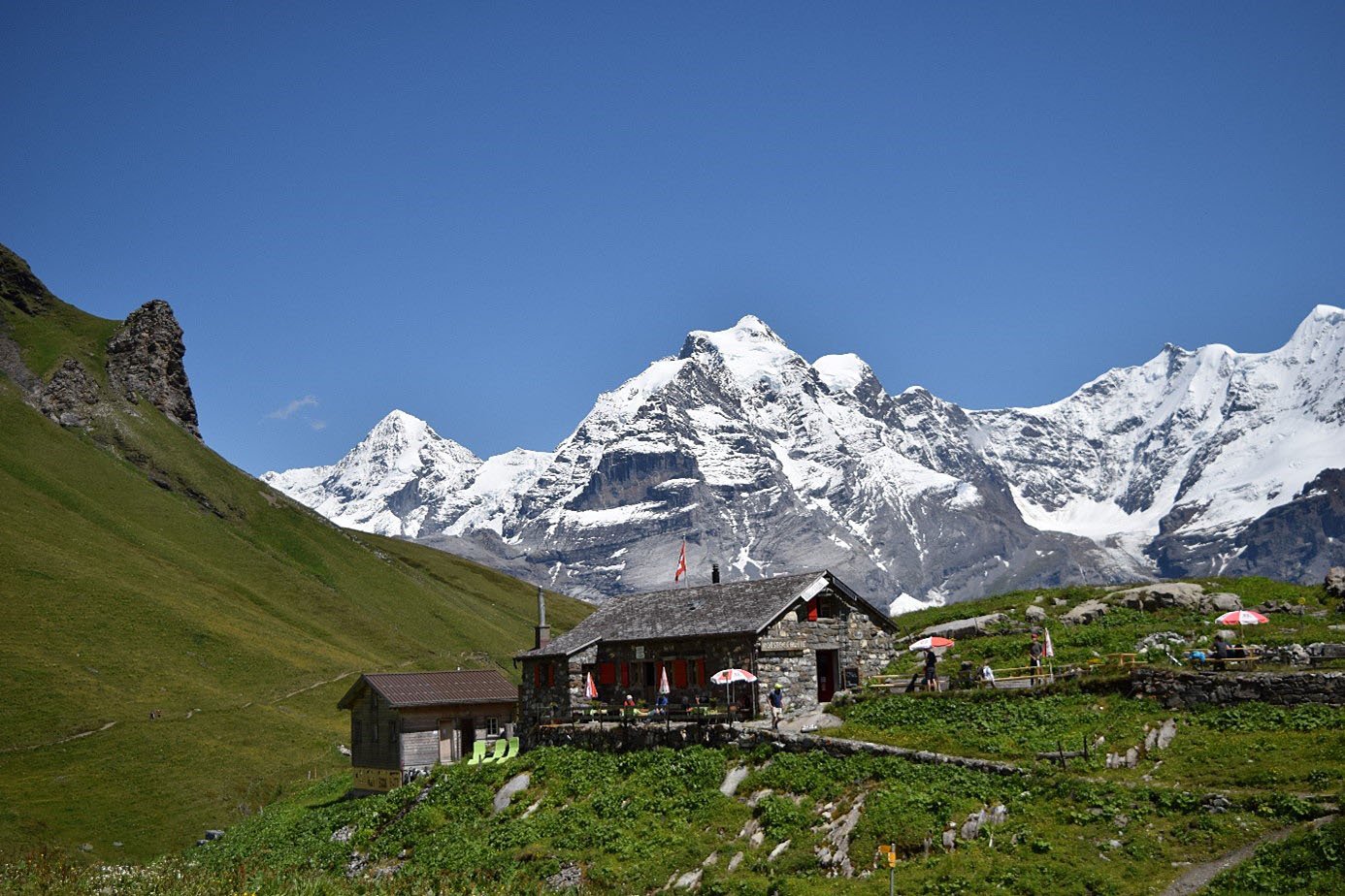
The “classic” route avoids villages, and therefore hikers stay in mountain huts - also know as hüttes / refuges (German). Sleeping amongst the mountains, indulging in local cuisine, and meeting other hikers is a unique experience not to be missed.
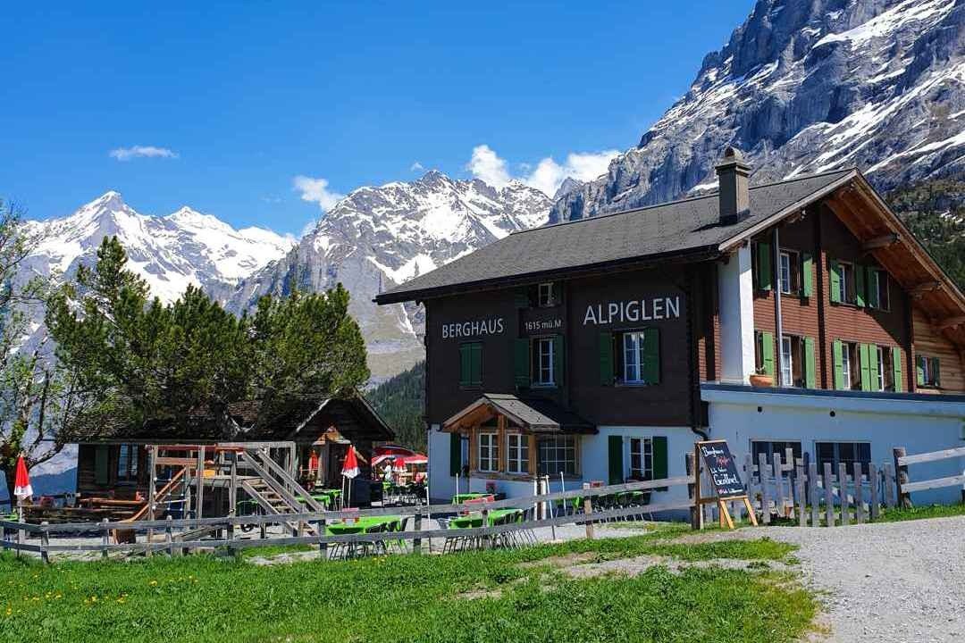
For those that wish to stay in alpine villages, there are alternative routes that pass through bigger villages, such as Grindelwald and Lauterbrunnen, and smaller car-free villages, such as Mürren.
Some of the popular mountain huts include:

WHEN IS THE BEST TIME TO HIKE TOUR OF JUNGFRAU REGION?
The best time to hike the Tour of Jungfrau is late June until end September.
This is a high alpine trail with the highest point of 2,969m / 9,740ft and therefore most hikers prefer to wait until most of the winter/spring snow has melted on the trails, especially in the steeper, rockier areas.
During July and August, hikers have longer daylight, warmer temperatures, no/low snow on the trails, with alpine flowers in full bloom.
However, unlike the hiking trails located in the south of Switzerland, such as Walker’s Haute Route and Tour of Monte Rosa, the Bernese Oberland is the first Alpine region to receive weather patterns from Northern Europe, and therefore it is more prone to summer thunderstorms in July and August, making September a great time to complete this tour.

Typical early season hiking conditions (June)

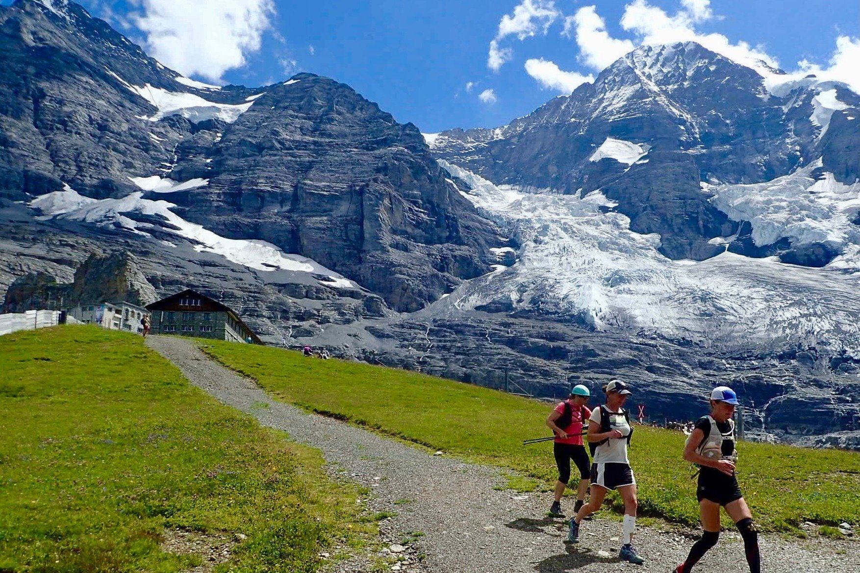
Typical peak season hiking conditions (July - August)

Typical late season hiking conditions (September)
WHICH DIRECTION TO HIKE THE TOUR OF JUNGFRAU?
The majority of people hike the Tour of Jungfrau in a clockwise direction, starting from Schynige Platte and ending in Wilderwil. This direction allows hikers to utilise the cog railway to access Schynige Platte (1,967m / 6,453ft), and begin the trail already in the high mountains. This is a nice way to ease into a multi-day hike, rather than starting in Wilderswil (585m / 1,919ft) and climbing up 1,500m+ / 5,000ft+ on day 1.
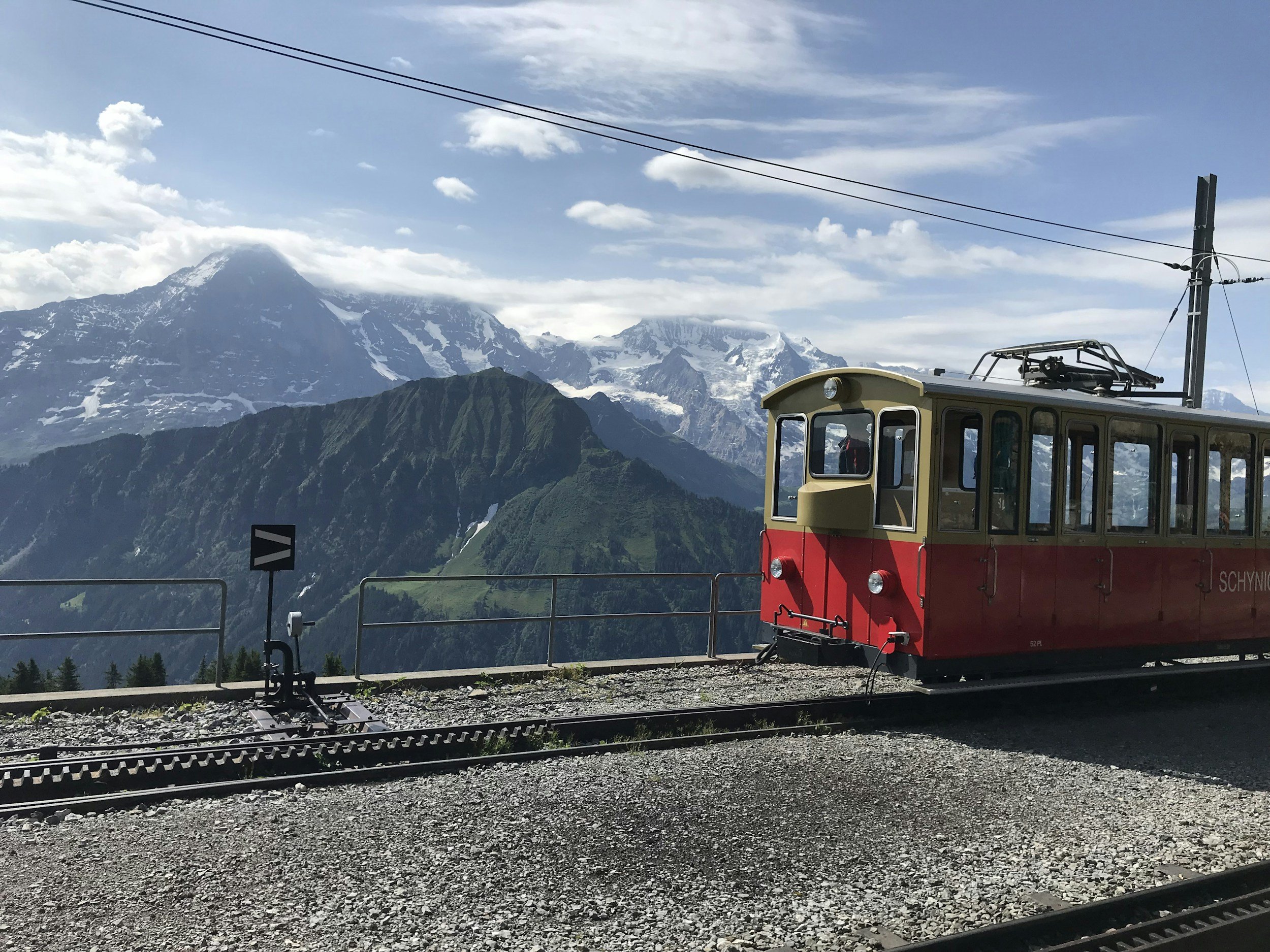
Cog railway to reach start location, Schynige Platte