South Tyrol · Northern start
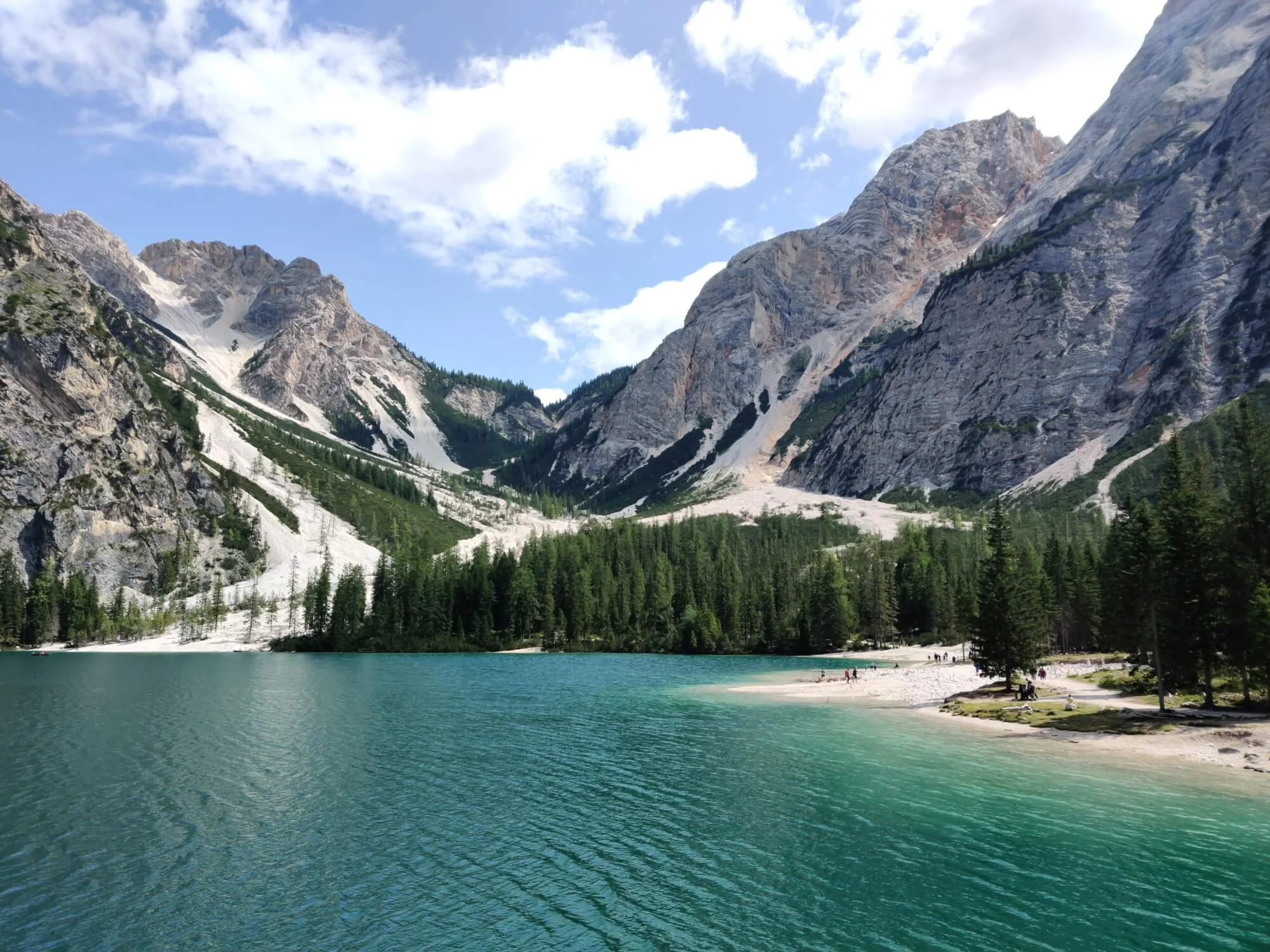
Lago di Braies / Pragersee
An alpine lake beneath steep limestone peaks and the traditional starting point for the north-to-south route.

Alta Via 1 Dolomites
Build an itinerary around your hiking style, secure the best accommodation and confidently prepare for your self-guided journey through the Dolomites.
The trail at a glance
The Alta Via 1 (AV1) is a multi-day hut-to-hut hiking route through the Italian Dolomites. The classic route travels south from Lago di Braies to La Pissa, passing limestone peaks, alpine lakes, mountain passes and rifugios. Your distance and daily stages will vary with your route and accommodation choices.
Alta Via 1 route map
The classic Alta Via 1 runs from Lago di Braies in the north towards La Pissa near Belluno. There are alternative paths, different places to start or finish, and accommodation options beyond the main trail.
Use the map as an overview; build your own itinerary to see the hiking distance and ascent for each day you choose.
Explore the itinerary planner →
Start planning
Choose an itinerary that suits your group, understand the current accommodation situation and keep up with conditions as your hike approaches.
The Hiking Club platform
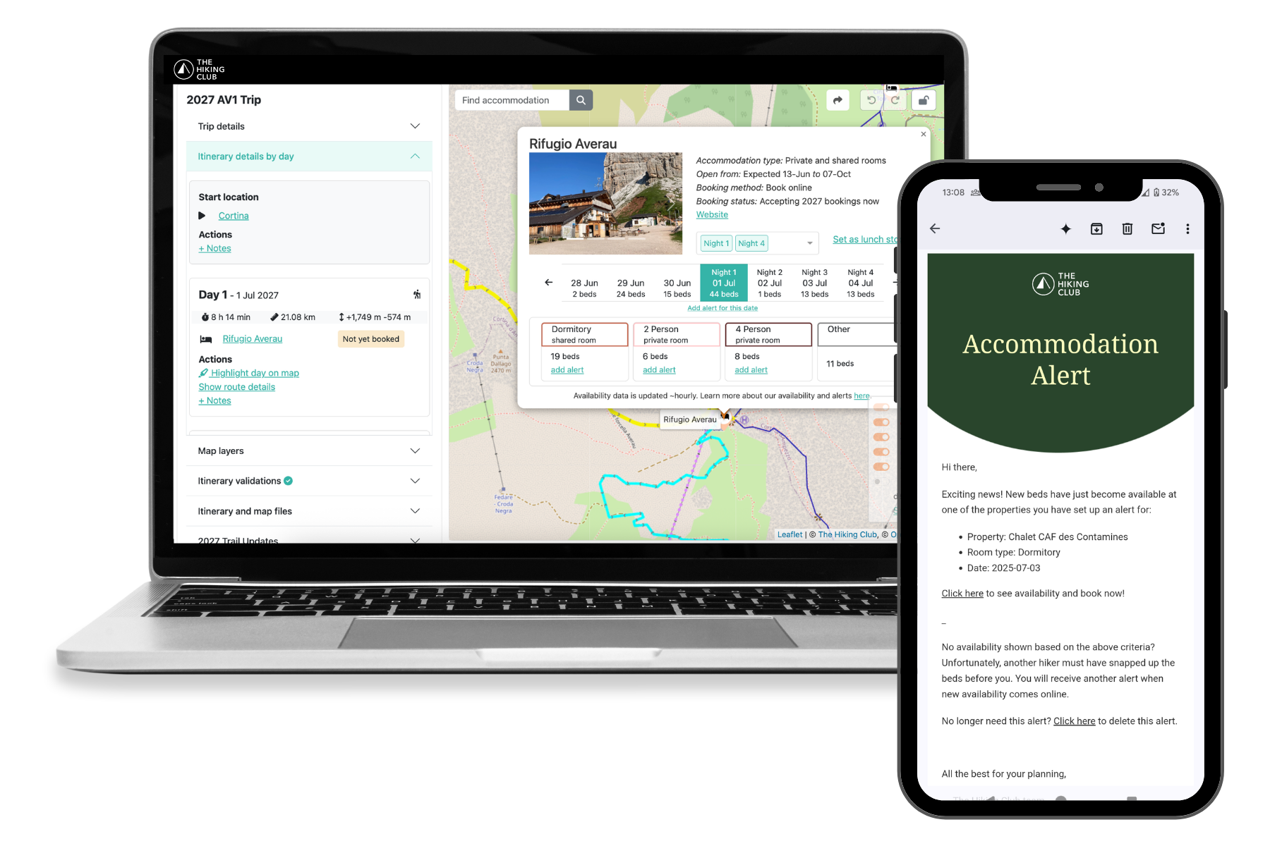
Turn the Alta Via 1 into an itinerary designed around your group. Bring your route, rifugio bookings, trail preparation and navigation together—and keep adjusting the plan as your trip takes shape.
Platform access from €79 · One purchase covers your hiking group

The Italian Dolomites
Your itinerary determines how much time you have to enjoy each part of the route.
Choosing your itinerary
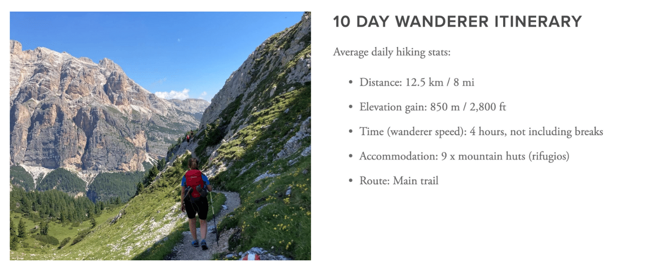
Most hikers plan around 8–10 days for the Alta Via 1. The right duration depends on your hiking pace, the distance you want to cover each day and where you can secure accommodation.
An Alta Via 1 itinerary can follow the full route from Lago di Braies towards La Pissa bus top or focus on a shorter section. Alternative paths, rifugio locations and transport connections can change your daily stages.
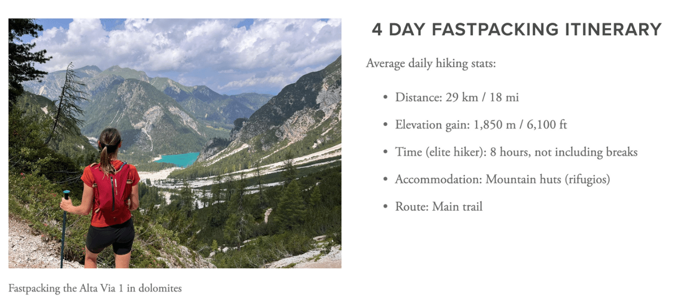
4–7 days
A shorter section or a demanding pace
Choose a section of the route, or plan longer consecutive days if your group has the experience and fitness for them (i.e trail running).
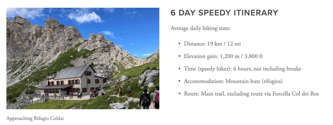
8–10 days
A classic Alta Via 1 itinerary
Plan the main traverse with daily stages shaped around your pace, preferred rifugios and available rooms.
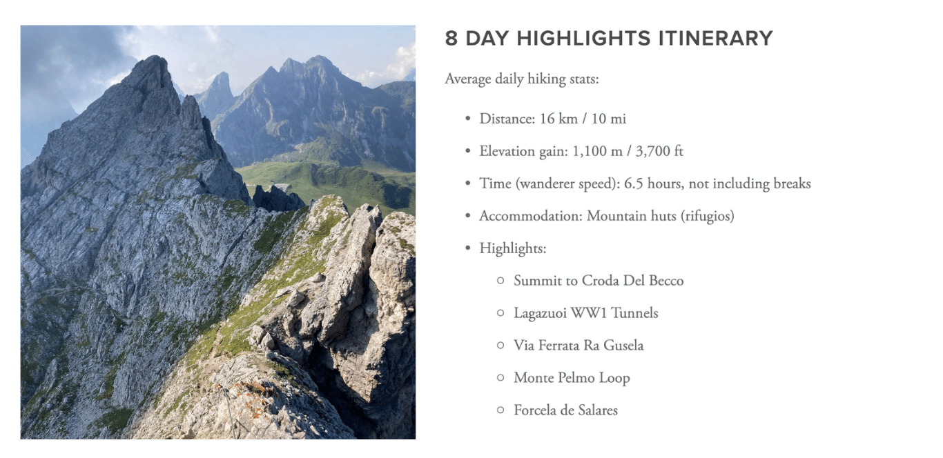
11+ days
More time for the Dolomites
Allow for shorter hiking days, alternative routes or extra time around the places you most want to explore.
Accommodation on the Alta Via 1
The Alta Via 1 has mountain rifugios along the route and hotels and guesthouses in nearby villages. Where you stay will shape your daily stages, so compare accommodation options and booking availability as you build your itinerary.
Popular rifugios and private rooms can fill early. Check which properties are accepting bookings, then design your itinerary around current availabilty and what properties are still to accepting bookings.
Mountain rifugios
The classic hut-to-hut experience, usually with hot showers and food provided.
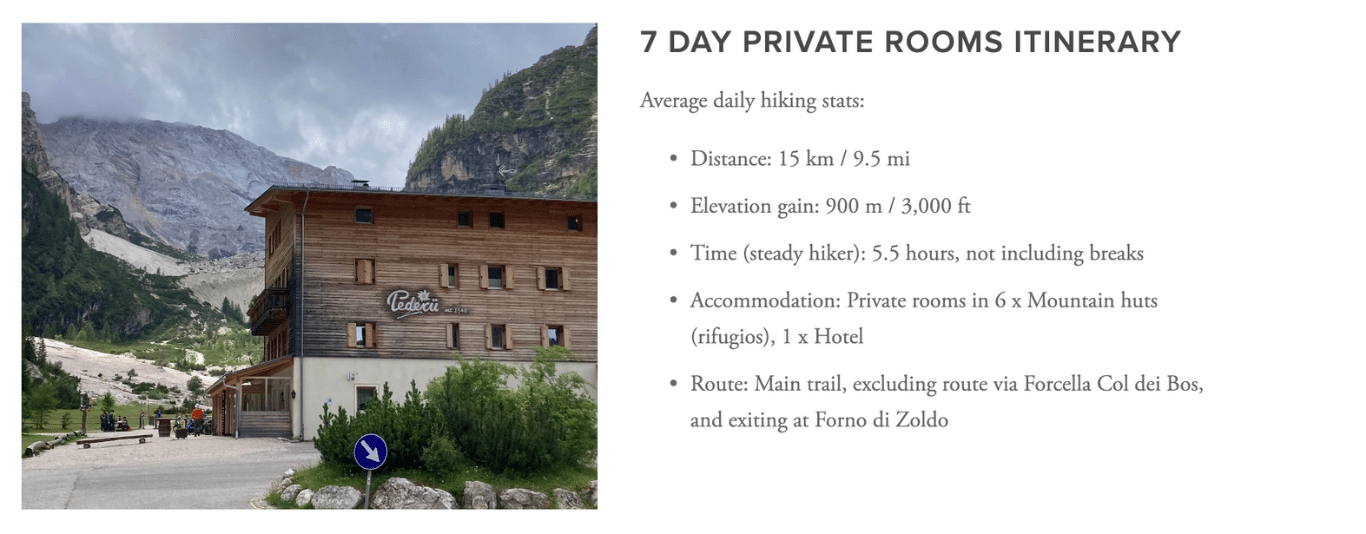
Private rooms
Available at selected rifugios, with limited capacity and strong demand.
Hotels and guesthouses
Variety of accommodation options in local villages, accessible from the trail by public transport.
Campgrounds
Private campgrounds with services located outside the nature parks.
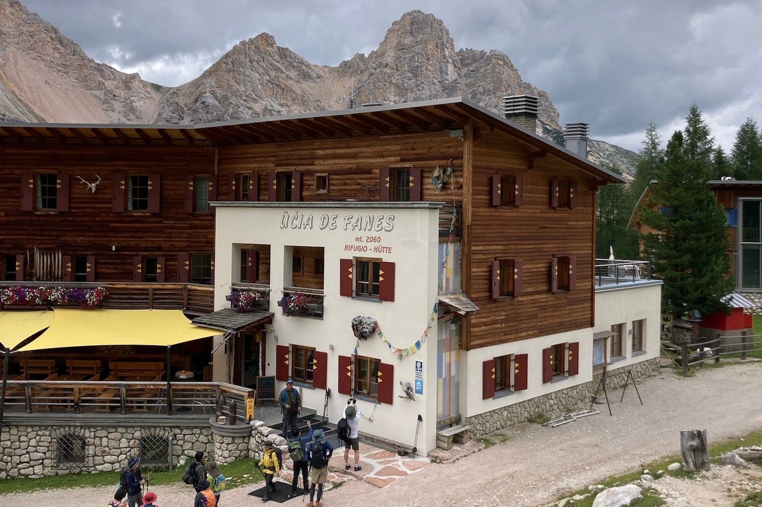
Rifugio Adolfo Sonino al Coldai
A mountain rifugio along the Alta Via 1.
Availability changes as rifugios open bookings and hikers alter their plans. The Hiking Club platform provides booking information, live availability and opening or cancellation alerts for supported properties. AV1 camping itineraries use campgrounds; there are no permitted bivouac locations along this trail.
Through the Dolomites
From the waters of Lago di Braies to the limestone towers around Cinque Torri, the Alta Via 1 passes alpine lakes, high mountain terrain and places shaped by the Dolomites’ history.
South Tyrol · Northern start
An alpine lake beneath steep limestone peaks and the traditional starting point for the north-to-south route.
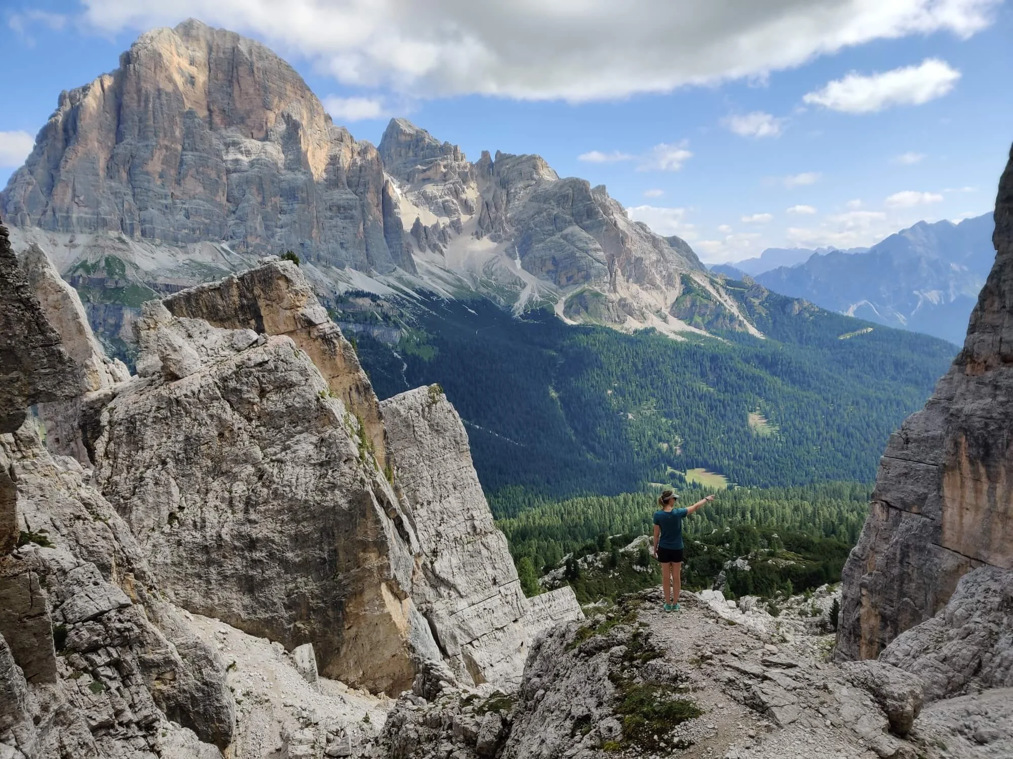
Belluno · Historic landscape
Distinctive rock towers surrounded by trails and First World War trenches and shelters.
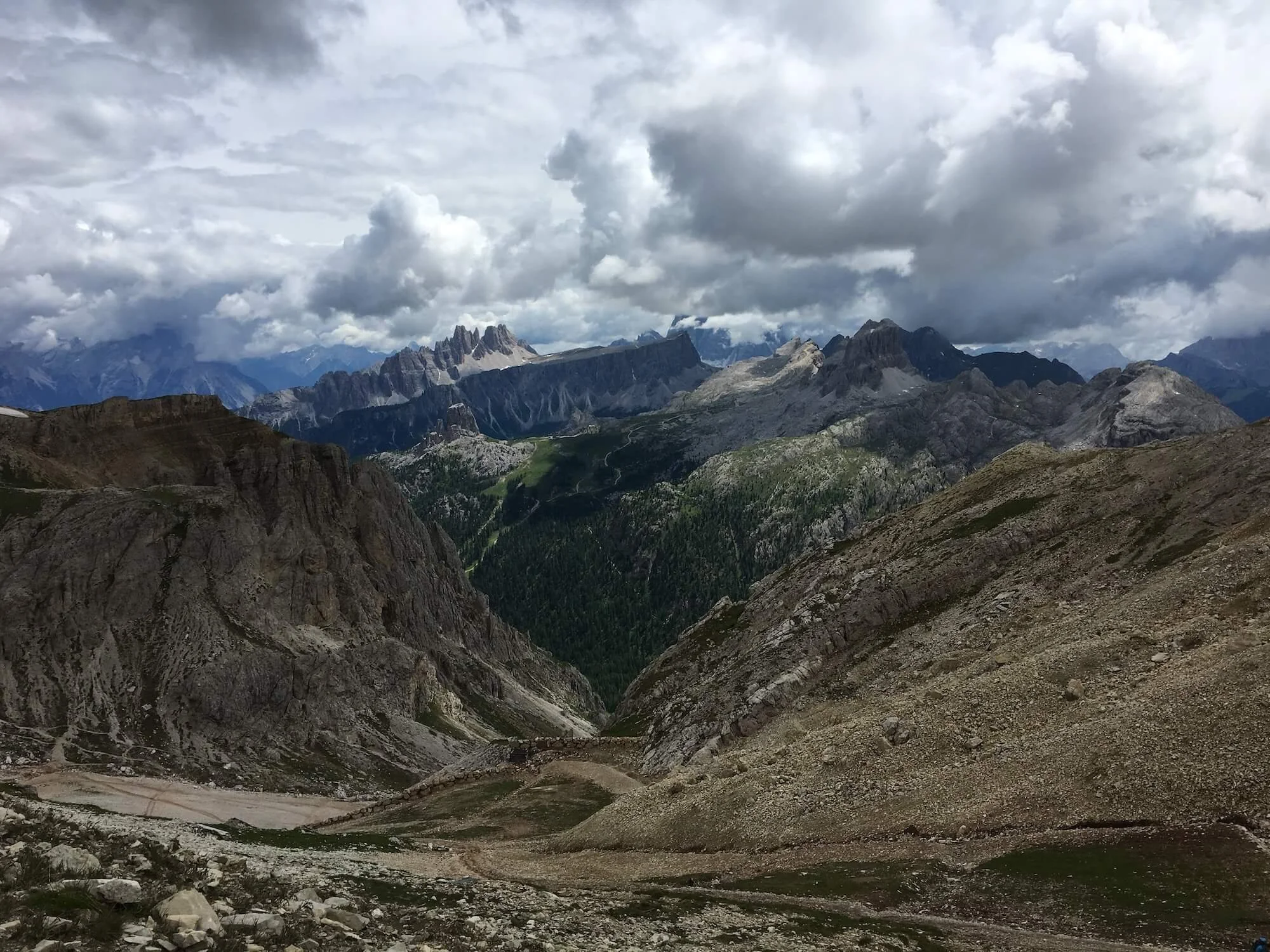
Lagazuoi area
High mountain views near Lagazuoi, where hikers can also explore wartime tunnels as a separate activity.
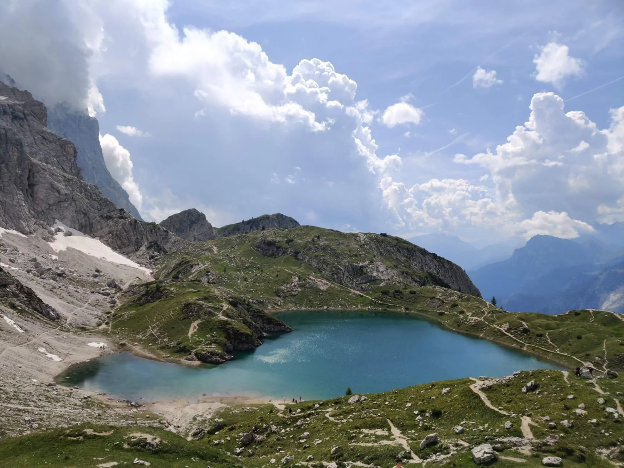
Civetta area
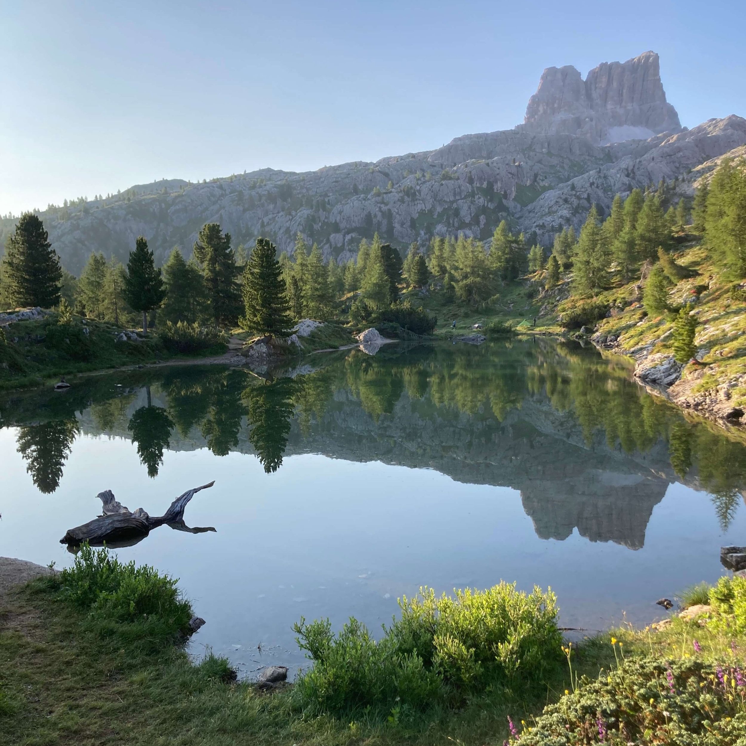
A high alpine lake near Rifugio Coldai, surrounded by dramatic mountain scenery.
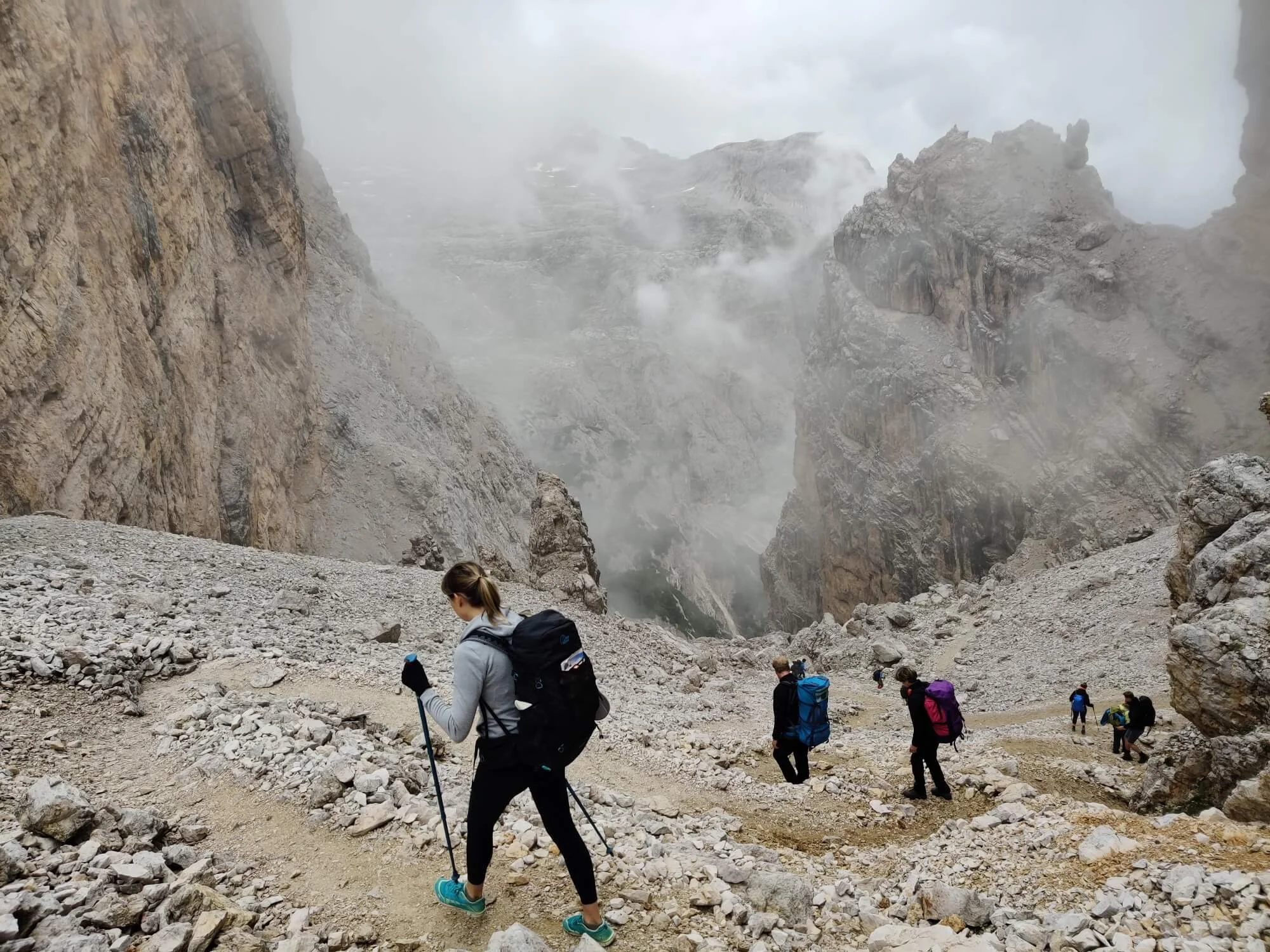
High mountain pass
A steep, rocky section that shows the more demanding side of the Alta Via 1.
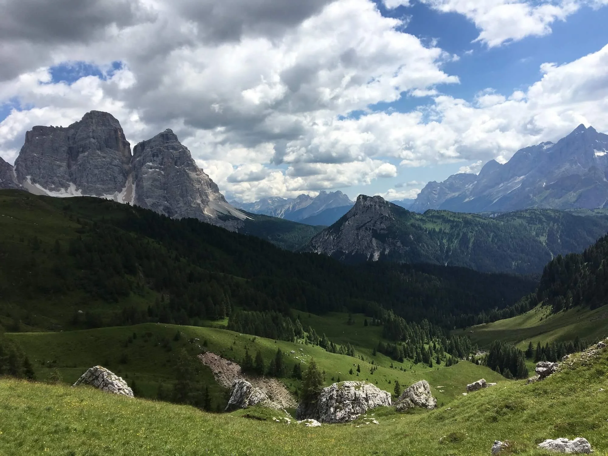
Belluno · Mountain scenery
Open Dolomites scenery and striking limestone peaks around one of the route’s best-known mountain passes.
The places you experience depend on your starting point, route, available accommodation and any alternatives you include.
Explore AV1 itineraries →Choose your trailheads
The classic route runs south from Lago di Braies to La Pissa, but you can start or finish along the trail to create a shorter itinerary. You can also hike in the opposite direction. Choose the locations that suit your available time, transport connections and accommodation.
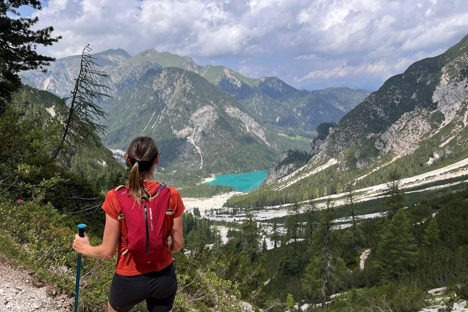
Northern trailhead
Also known as Pragser Wildsee, the lake is the classic starting point for a north-to-south traverse and the finish for hikers travelling south to north.
Trail access: Lago di Braies
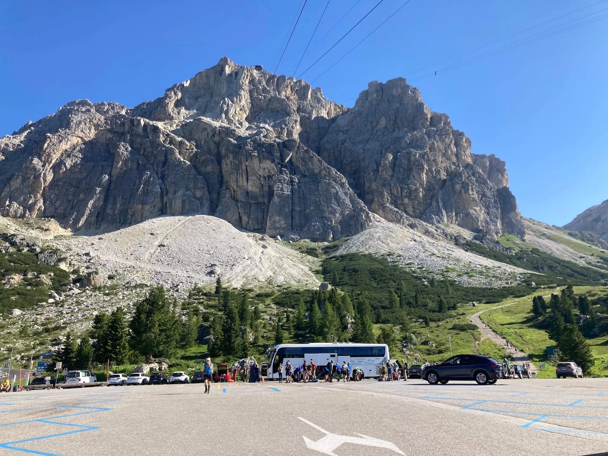
Central section
Start or finish in the central Dolomites to focus on Lagazuoi, Cinque Torri and the surrounding mountain scenery.
Trail access: Cortina or San Cassiano
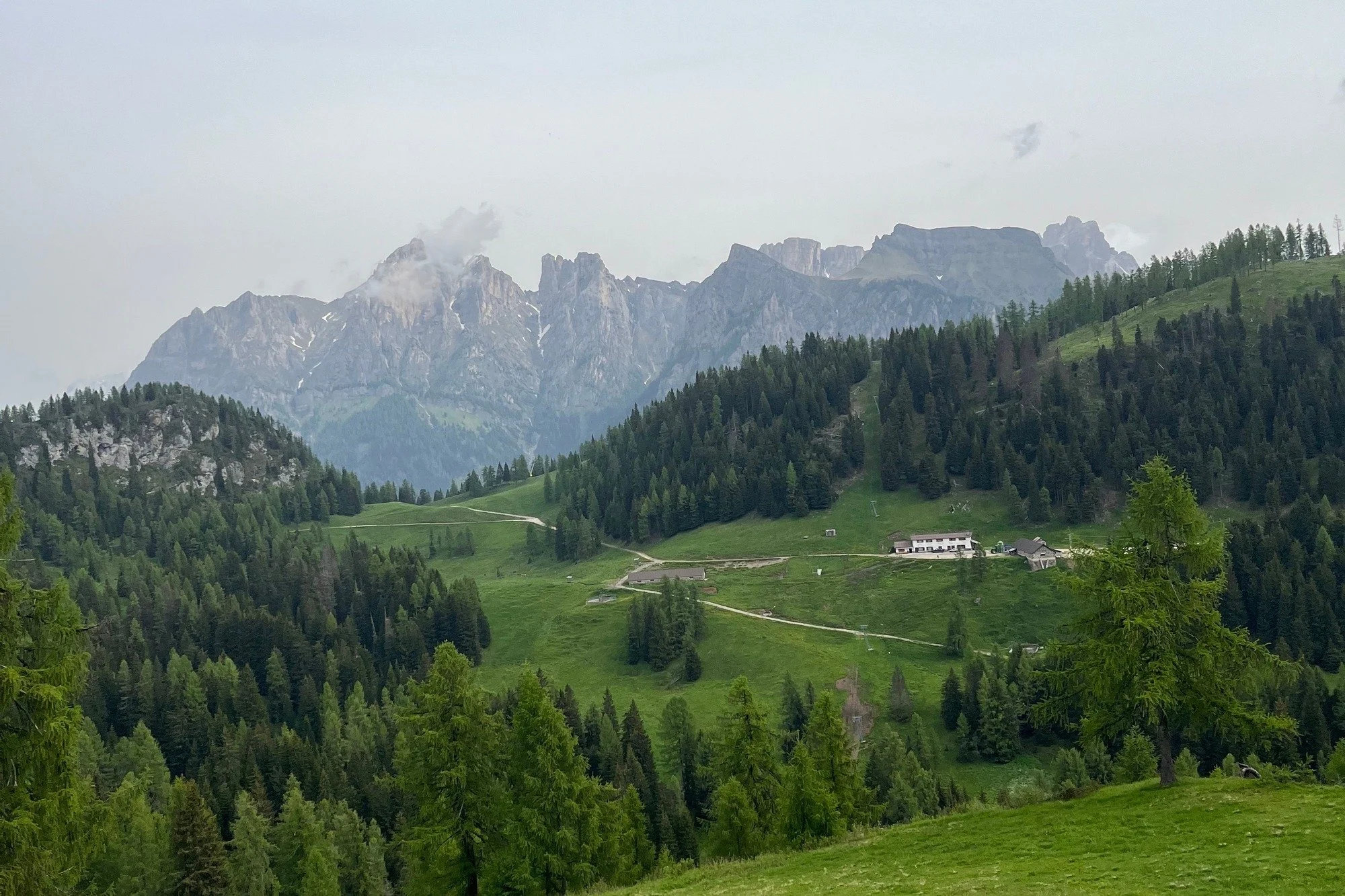
Central and southern section
Begin or end farther south for a route through the central and southern Dolomites, with your stages shaped by transport and available accommodation.
Trail access: Via Alleghe
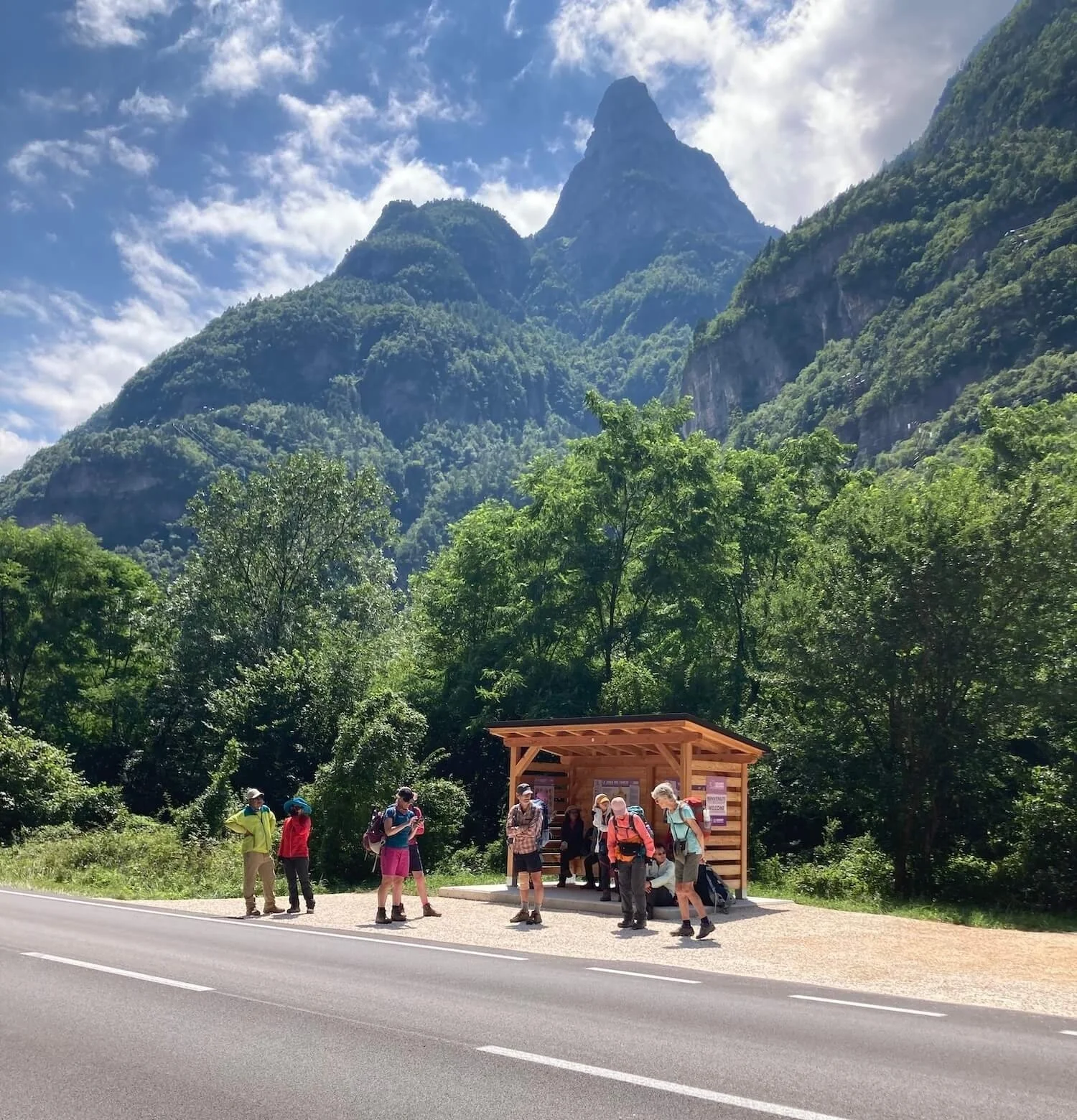
Southern trailhead
Finish the classic north-to-south traverse here, or start at La Pissa and hike towards Lago di Braies in the opposite direction to most AV1 hikers.
Trail access: La Pissa bus stop
Plan around your available time
Compare daily distance, ascent, accommodation and transport connections between your chosen trailheads before settling on an itinerary.
Build a realistic budget
The cost of a self-guided Alta Via 1 hike depends on how many days you spend on the trail, where you stay and how you plan your meals. Allow separately for flights, transfers, insurance, equipment and any buses or cable cars you choose to use.
An example from our cost guide
€850
Per person for a 10-day, 9-night shared room itinerary.
A shared room based itinerary includes mountain-hut accommodation, meals and lunches. Private rooms or a mix of village stays will produce a different total.
This is a starting estimate rather than a fixed price. Costs vary by itinerary, season, availability, exchange rates and personal spending choices.
Rifugio dormitories, limited private rooms, village stays and campgrounds have different prices and may not be available at every stage.
Half-board meals, hut lunches, packed lunches, snacks and village restaurants can change your daily spending.
Each extra hiking or rest day usually adds another night of accommodation and a day of meals.
Budget for travel to your trailhead, your journey home and any local buses or cable cars included in your itinerary.
Include in your trail budget
Remember to add
Plan your own trip
Choose your daily stages and accommodation in the planning platform, then check current prices for the places you intend to book.
Budget figures are indicative and will vary by travel dates, exchange rates, provider pricing, availability and personal choices.
The best time to hike the Alta Via 1 is from mid June to mid September.
The highest point on the Alta Via 1 is 2,752m / 9,029ft, but generally the trail stays below 2,300m / 7,500ft. Therefore winter/spring snow has usually melted on the trails by June. Peak hiking season is July and August during European summer holidays. At this time it is extremely busy on the trail (also with day hikers) and accommodation is often booked up months in advance.
It can get quite cold and windy, even in summer, so make sure to pack appropriate clothing and gear.
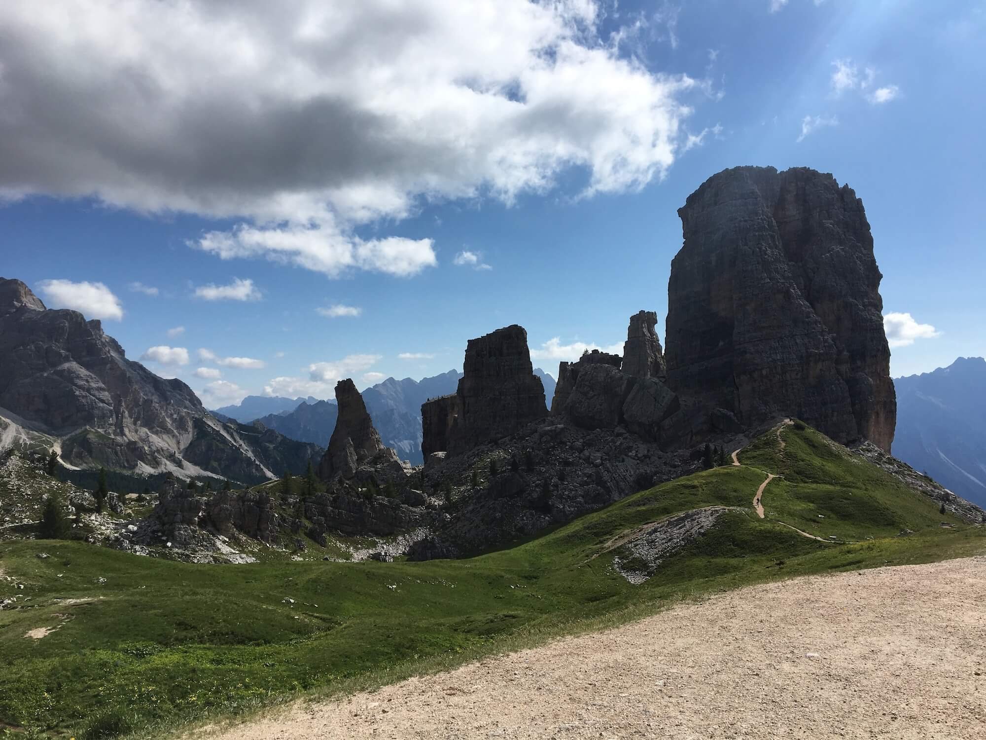
Approaching Cinque Torri
The Alta Via 1 trail is moderately difficult due to some steep, rocky and exposed ridges. However, unlike other Alta Via routes, this one does not require any “via ferratas” and therefore is much more accessible for those that do not wish to climb more technical routes (and carry the appropriate gear).
However, if you would like to tackle one of the “via ferratas”, you can organise for gear to be delivered to specific locations along the trail. Learn more about via ferrata routes along the Alta Via 1.
Most of the main trail is well marked and maintained. However, it is important that all hikers assess their own ability to complete their chosen route. Different hikers have different fitness, experience, confidence and abilities.
For those looking for a multi-day trail that is more challenging and remote with less crowds, you could consider the Walker’s Haute Route or Tour of Monte Rosa.
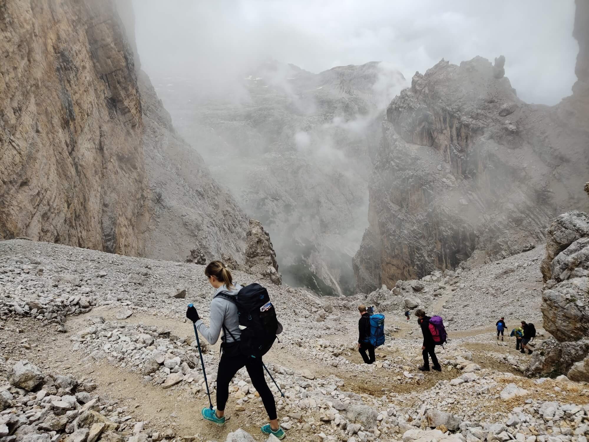
Forcella di Lago - one of the more difficult sections along the trail
It can cost €700 for a standard 7-night trip staying in dormitory accommodation in mountain huts.
However, the cost may vary significantly depending on:
the number of days on the trail (i.e 4 to 10 days),
your accommodation selection (i.e campground, shared or private rooms),
food (i.e packing your own, eating at cafe/huts along the trail), and
transport preferences (i.e taking cable cars or buses to skip sections).
Read our detailed blog post “How much does it cost to hike the Alta Via 1?”
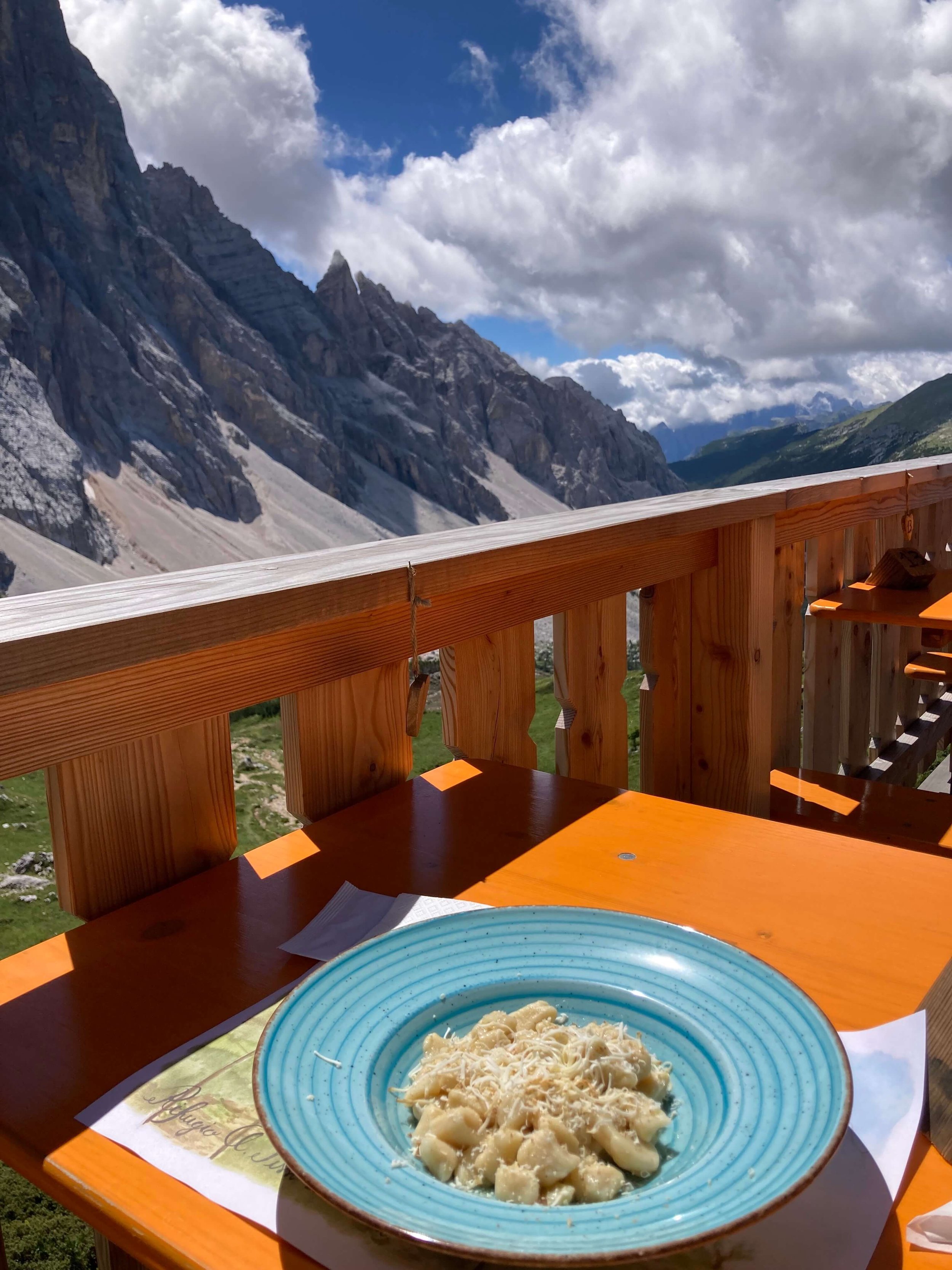
Lunch at Rifugio Attilio Tissi
It is possible to shorten the Alta Via 1 trail by taking some public transport options including cable cars, gondolas and buses. These options can help to minimise the hiking time on a specific day (i.e cable car on ascent/descent) or skip forward a day (i.e bus).
Our planning platform and GPS map include all transport schedules and costs for the upcoming season.
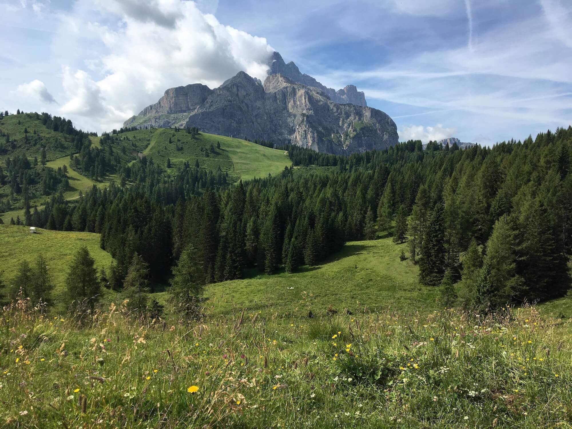
The AV1 trail winds through the Pescul ski area, which offers cable car options for hikers wanting to save their legs!

Use our trip planning platform to easily add transport to your itinerary, including gondola, bus and trains.
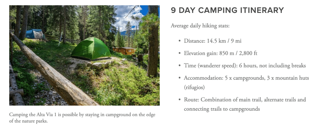
There are several campgrounds located on/near the border of the three natural parks that cover the AV1 trail. These campgrounds typically have great services, including power, hot showers, toilets, laundry facilities, shop or restaurant. However, depending on your desired daily hiking stats, it may not be possible to reach a campground for every night of your hike. Therefore staying in a refuge/rifugio is a great option for those nights it is not possible to camp.
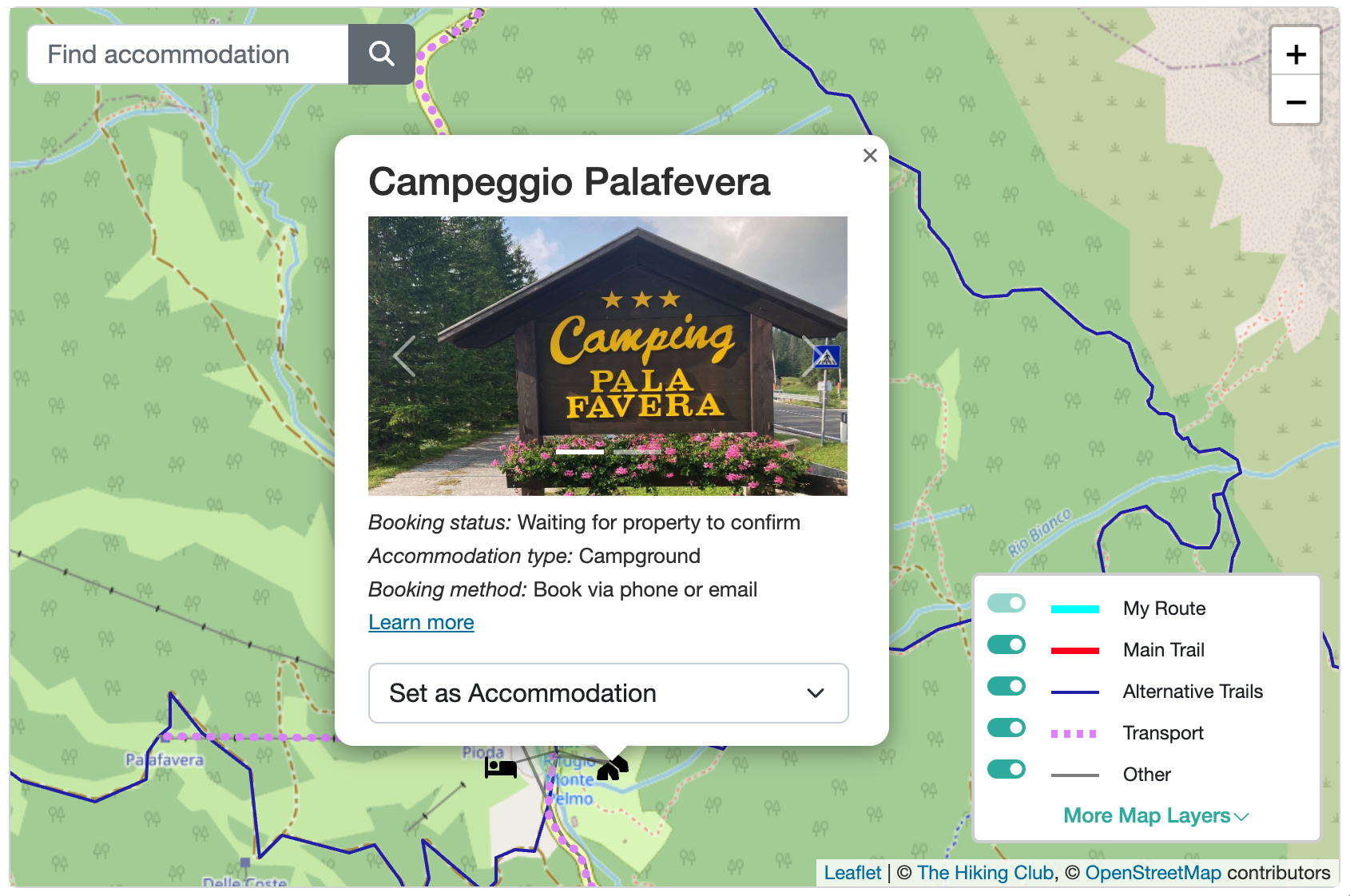
Campgrounds along and nearby the trail are listed in our planning platform with images, location details and hiking stats to get to/from the trail.
In terms of wild camping or bivouac, it is strictly forbidden along the trail. The three natural parks that cover the AV1 clearly state in their laws and regulations that it is forbidden. We have also been in touch with them to confirm these regulations.
There are many alternative routes to include additional highlights, avoid challenging sections of trail or skip highlights on the main trail by going more direct. Details of these alternate routes (and more) are available within our planning platform.
The most popular alternate routes along the Alta Via 1, include:
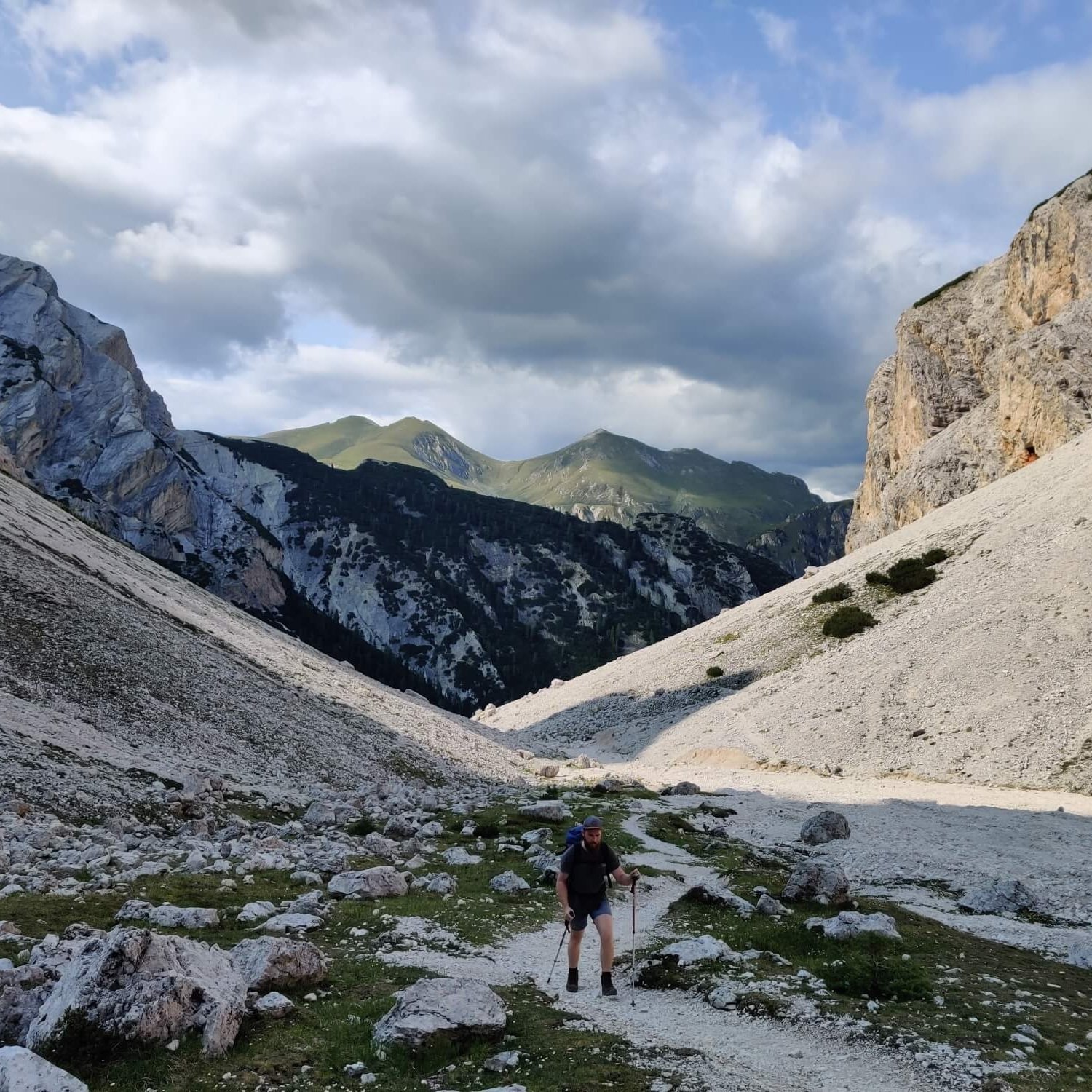
Lago di Braies > Rifugio Sennes via Forcela de Riciogogn
This more direct alternate route is great for those wanting to skip ahead on their first day. Unfortunately you miss the views of Lago di Braies that the main trail offers on the ascent.
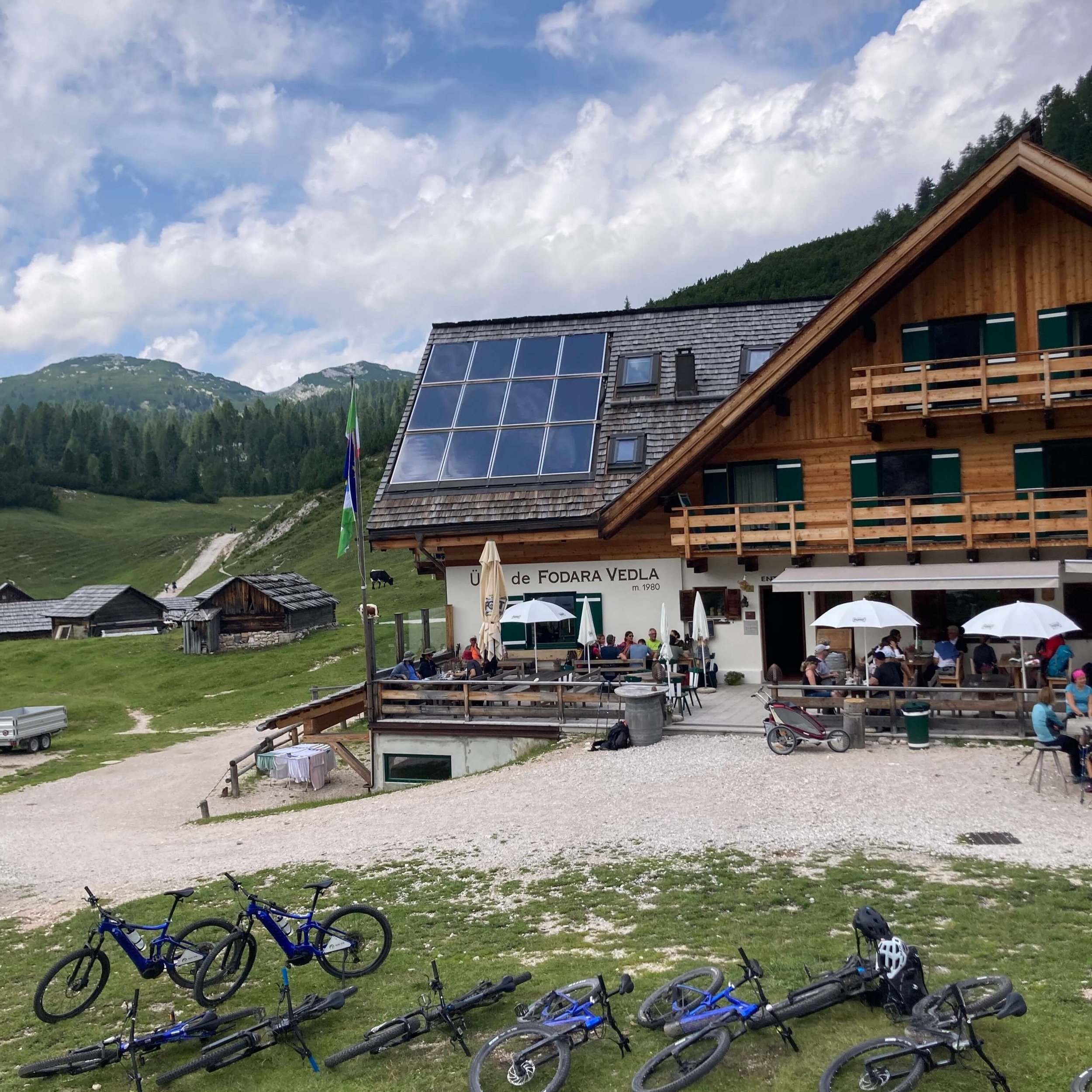
Rifugio Sennes > Rifugio Pederu via Rifugio Fodara Vedla
A required alternate route for those choosing to stay at Rifugio Fodara Vedla, which is located off the main trail.
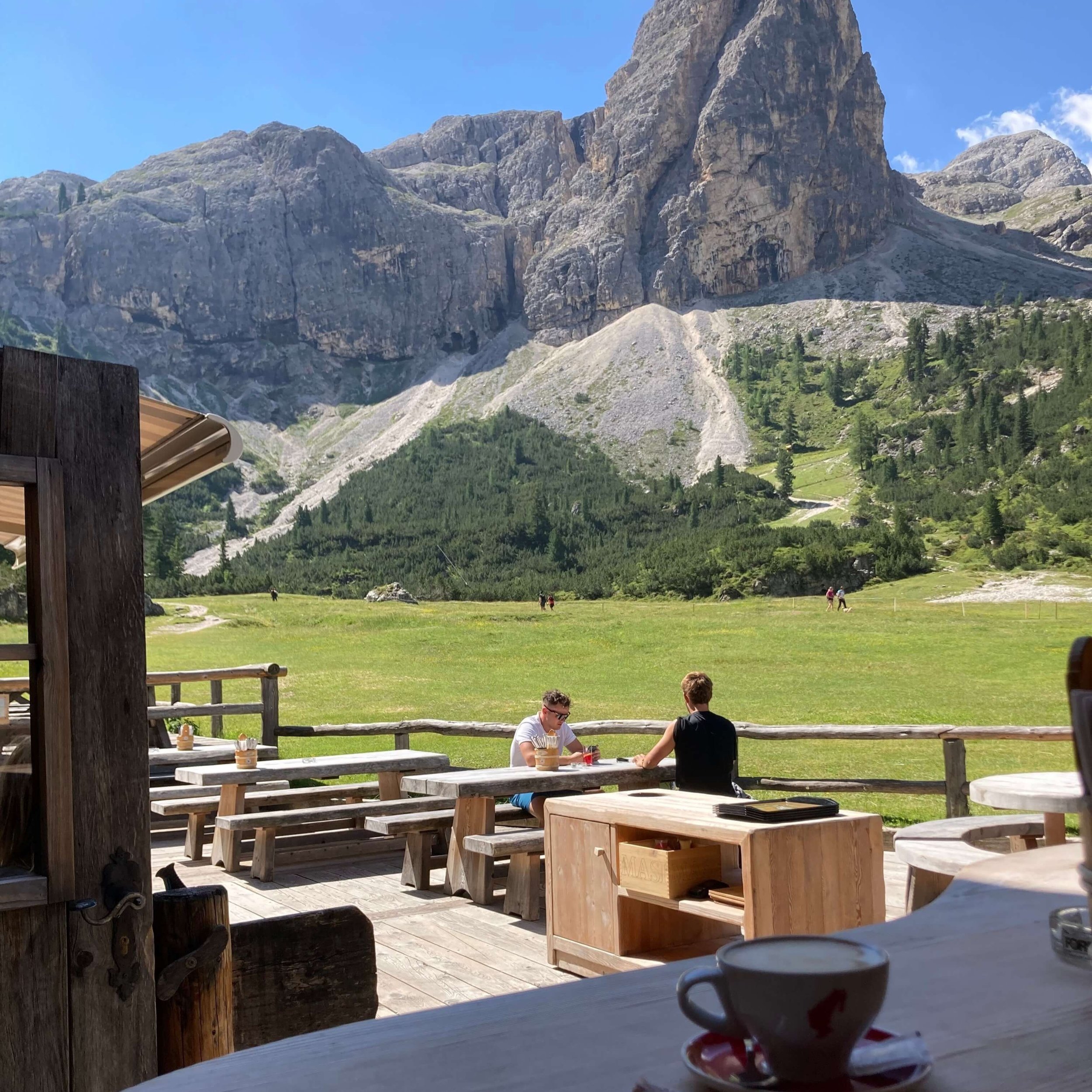
Le Gran Plan > Lago di Lagazuoi via Rifugio Scotoni
The alternate route is suitable for those choosing to stay at Rifugio Scotoni, which is located off the main trail, or for those that would like to avoid Forcella di Lago due to its exposed and steep trail, or in case of bad weather.
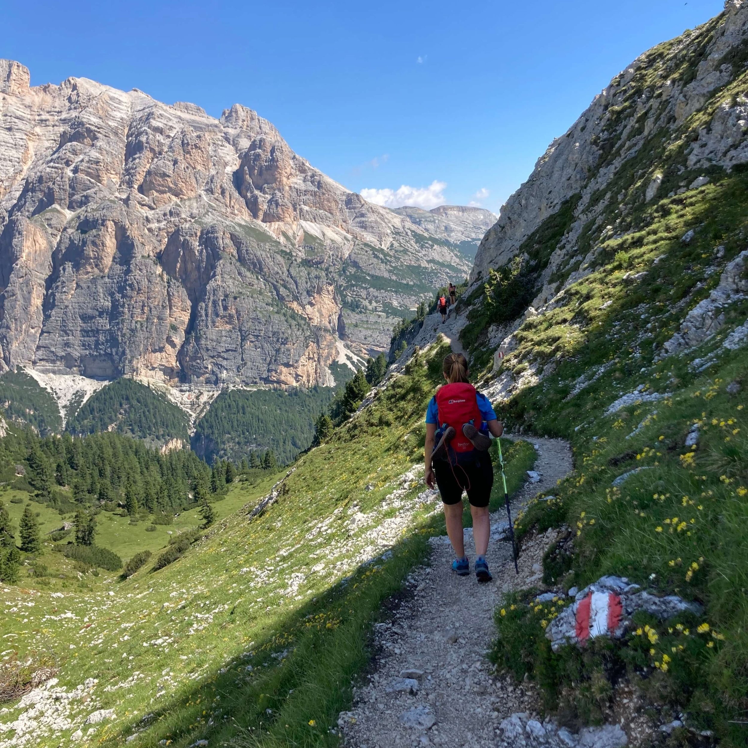
Rifugio Scotoni > Rifugio Lagazuoi via Forcela de Salares
A quieter alternate route that provides great perspective of the towering Lagazuoi peaks to the North and across the valley to Monte Castello. A good option for those stopping at Rifugio Lagazuoi or those wanting to explore the WWI tunnels.
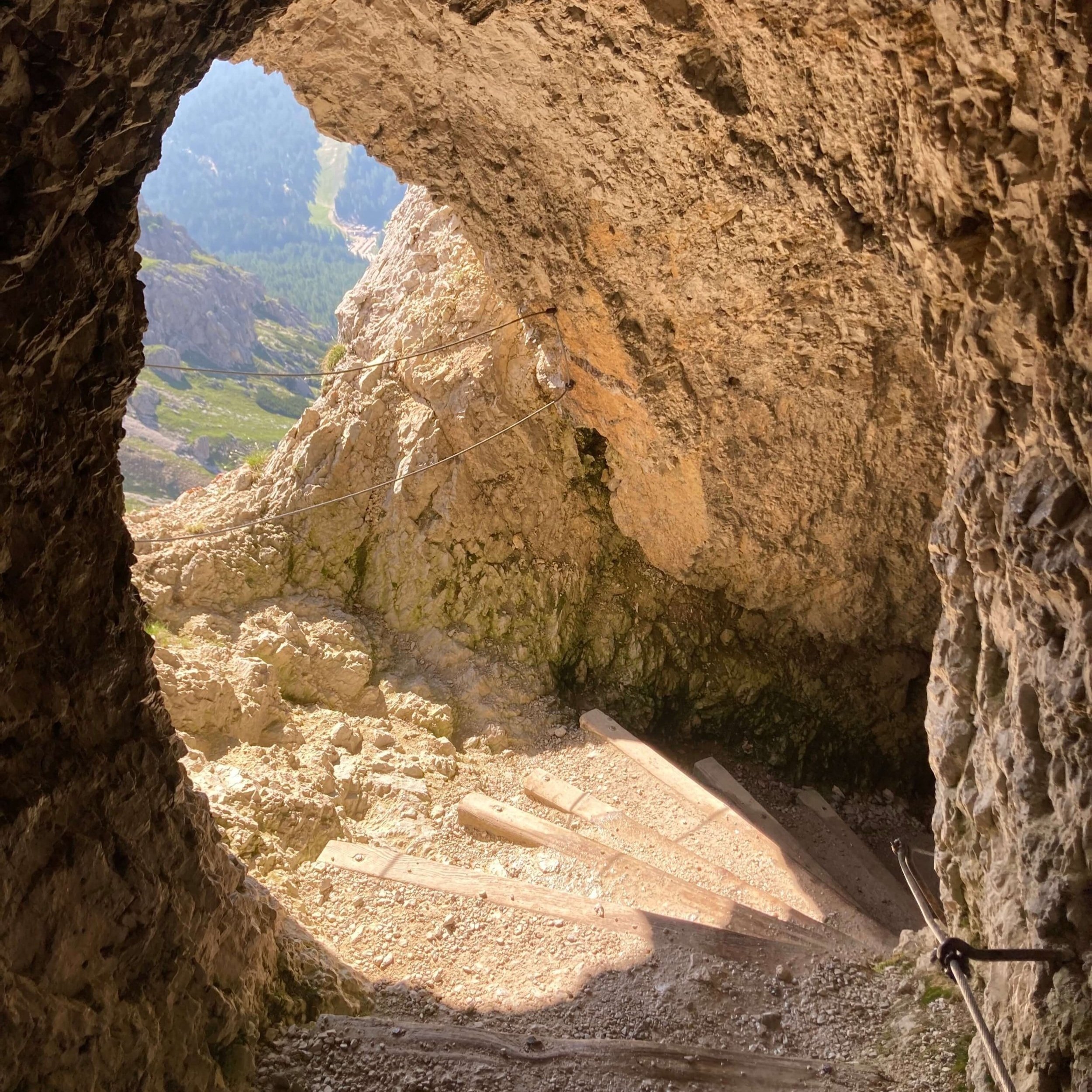
Rifugio Lagazuoi > Falzarego Pass via WWI tunnel
A unique opportunity to walk through the WWI tunnel system that weaves down within the mountain. It is recommended to rent a helmet from the cable car station, and bring a torch.
Falzarego Pass > Cinque Torri via Forcella Averau
This alternate route is suitable for those staying at Rifugio Col Gallina or that wish to hike directly to Rifugio Averau or Rifugio Nuvolau. This pleasant trail weaves through the forest and involves some minor boulder hopping.
Rifugio Nuvolau > Passo Giau via Via Ferrata Ra Gusela
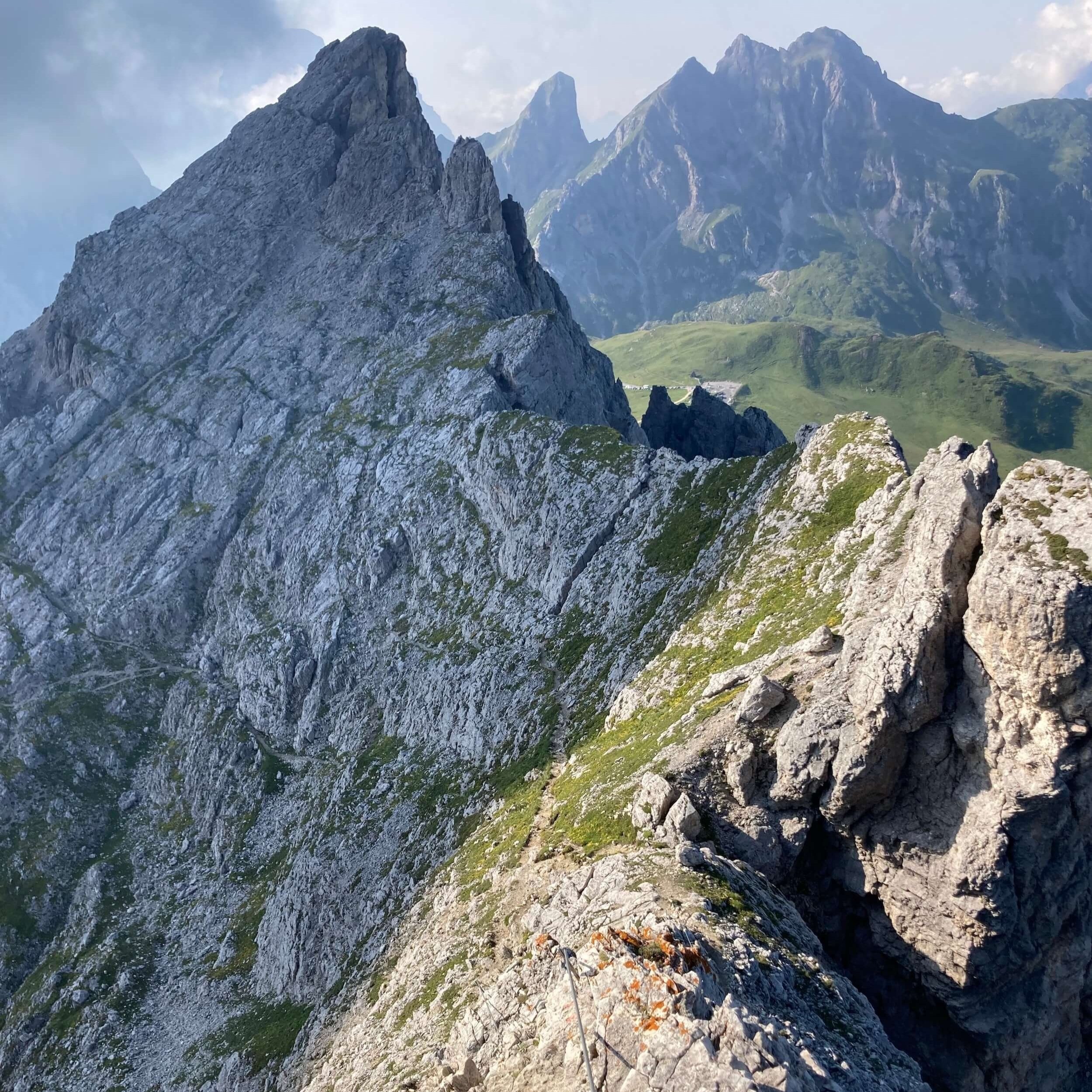
This beginners via ferrata trail does not present significant technical difficulties. However, every hiker must assess their level of risk and gear choice. It is a direct route that significantly reduces the distance. More info.
Rifugio Città di Fiume > Rifugio Palafavera via Monte Pelmo Loop
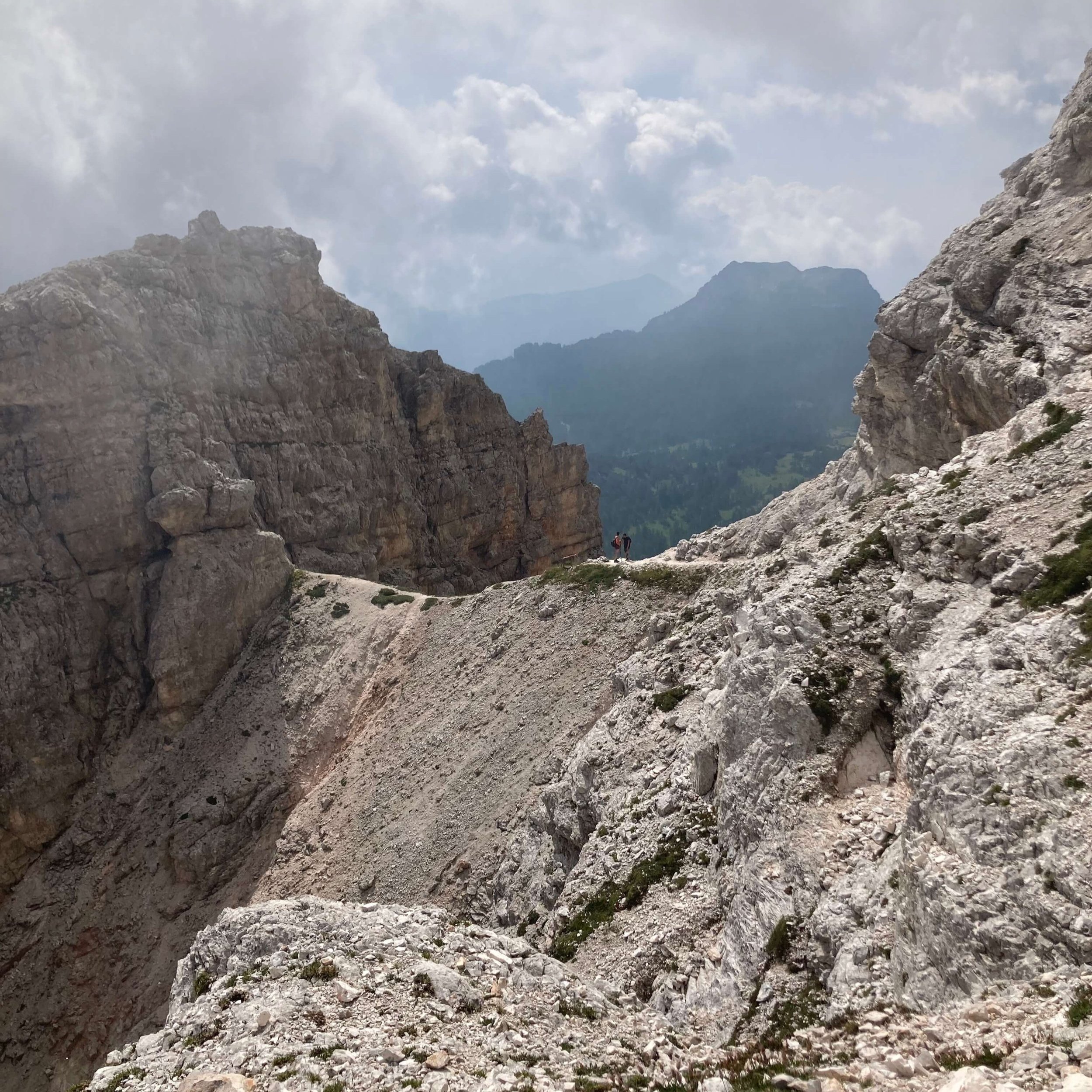
This challenging alternate route is not for the faint hearted. This route circles Monte Pelmo and includes a decent climb on very friable rocky paths with some cables to assist. The scree is difficult to navigate.
Forcella Ambrizzola > Rifugio Col dei Baldo via Pescul
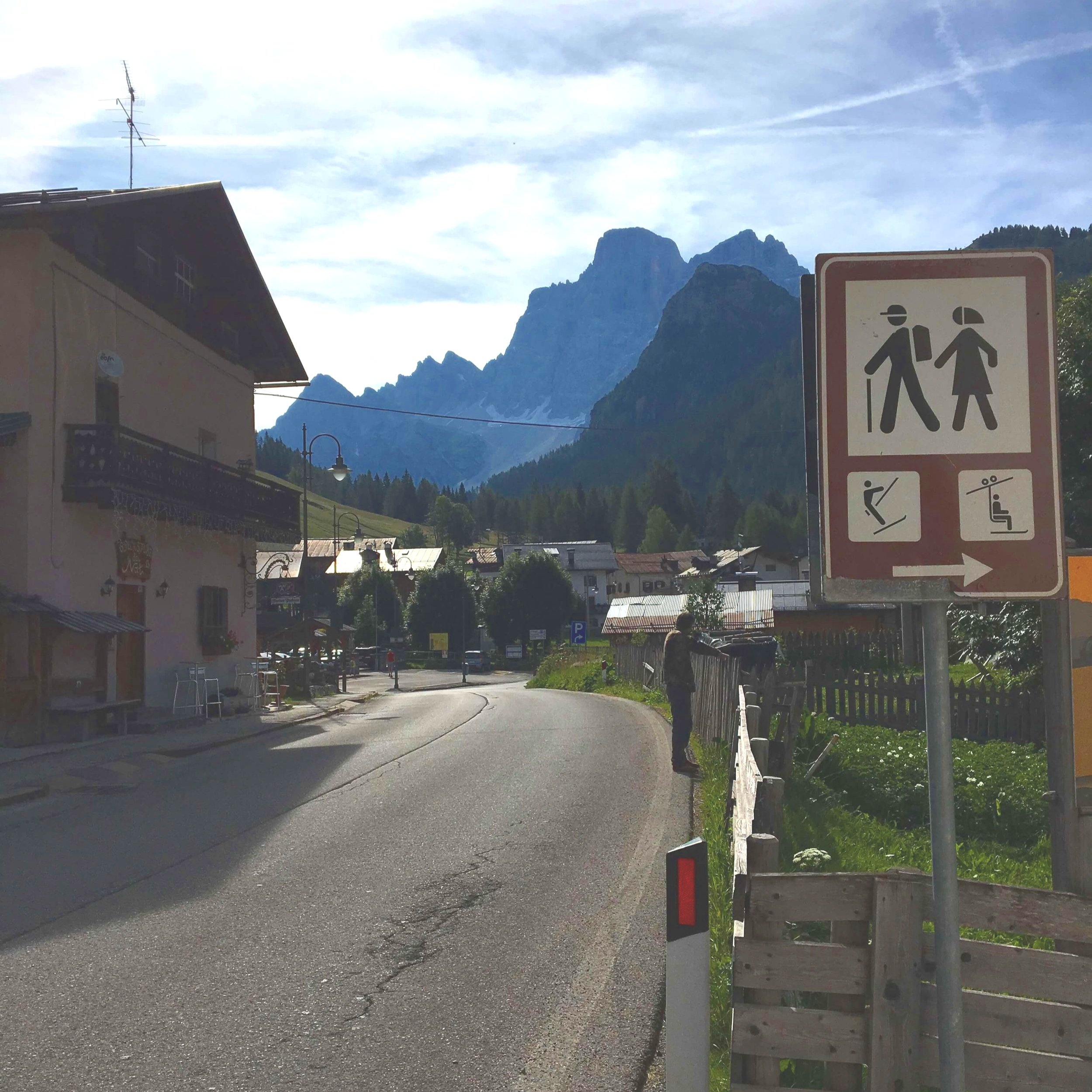
For those lodging in Pescul, this alternate route is the most direct option. Here there are restaurants and supermarkets to restock. There are also buses that run to nearby towns for those wishing to start/end their journey here.
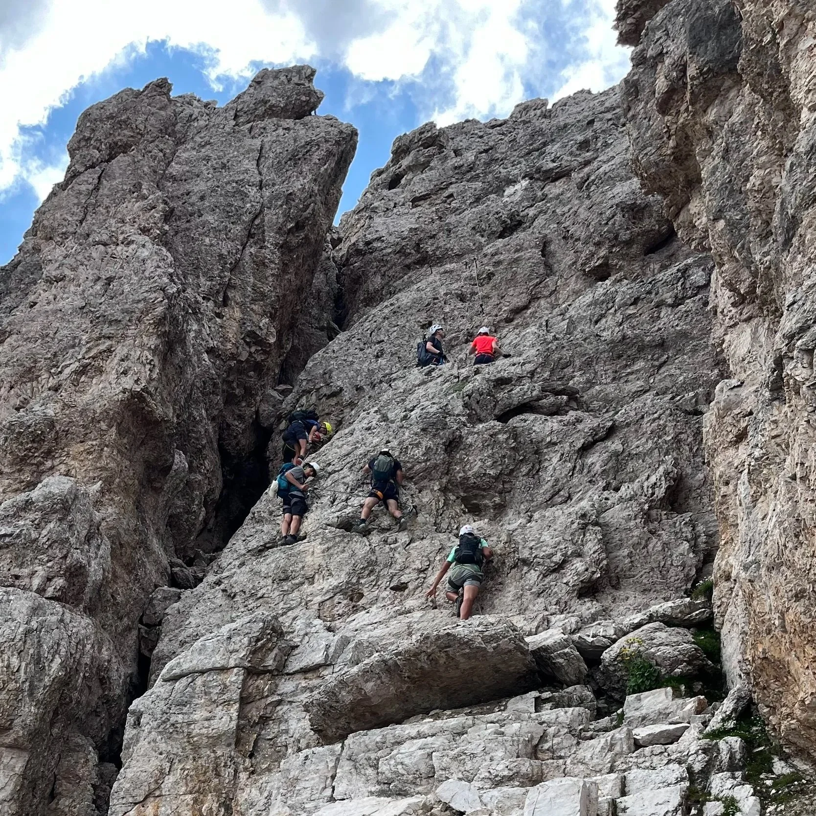
Via Ferrata Monte Averau
This popular beginner difficulty via ferrata is known for its impressive views and relatively straightforward route, making it ideal for those with limited experience. The route ascends the Averau peak (2,649m / 8,690 ft), a prominent summit in the Nuvolau mountain range. It offers fantastic views of the Tofane range, Monte Cristallo, and Marmolada glacier. More info
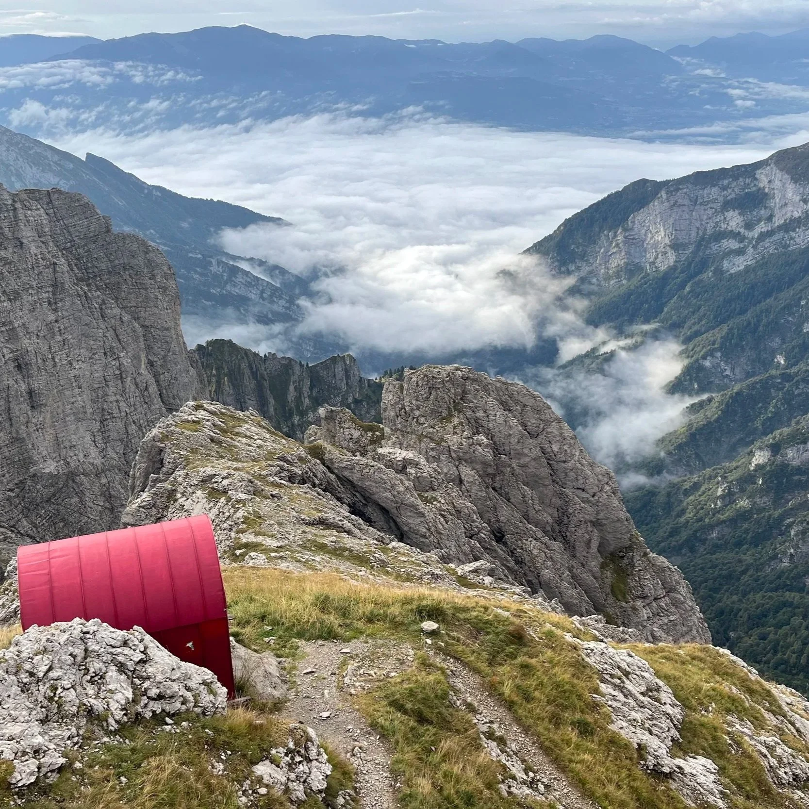
Piero Rossi Via Ferrata (Ex Marmol)
Often referred to as "Stage XI" of the AV1, this is a remote and technical route with steep, exposed sections requiring via ferrata gear. It explores the Schiara Group of the Dolomiti Bellunesi National Park, with dramatic scenery of Monte Schiara - the group's highest summit - and wide panoramas toward the Civetta and Marmolada groups (on clear days!). More info.
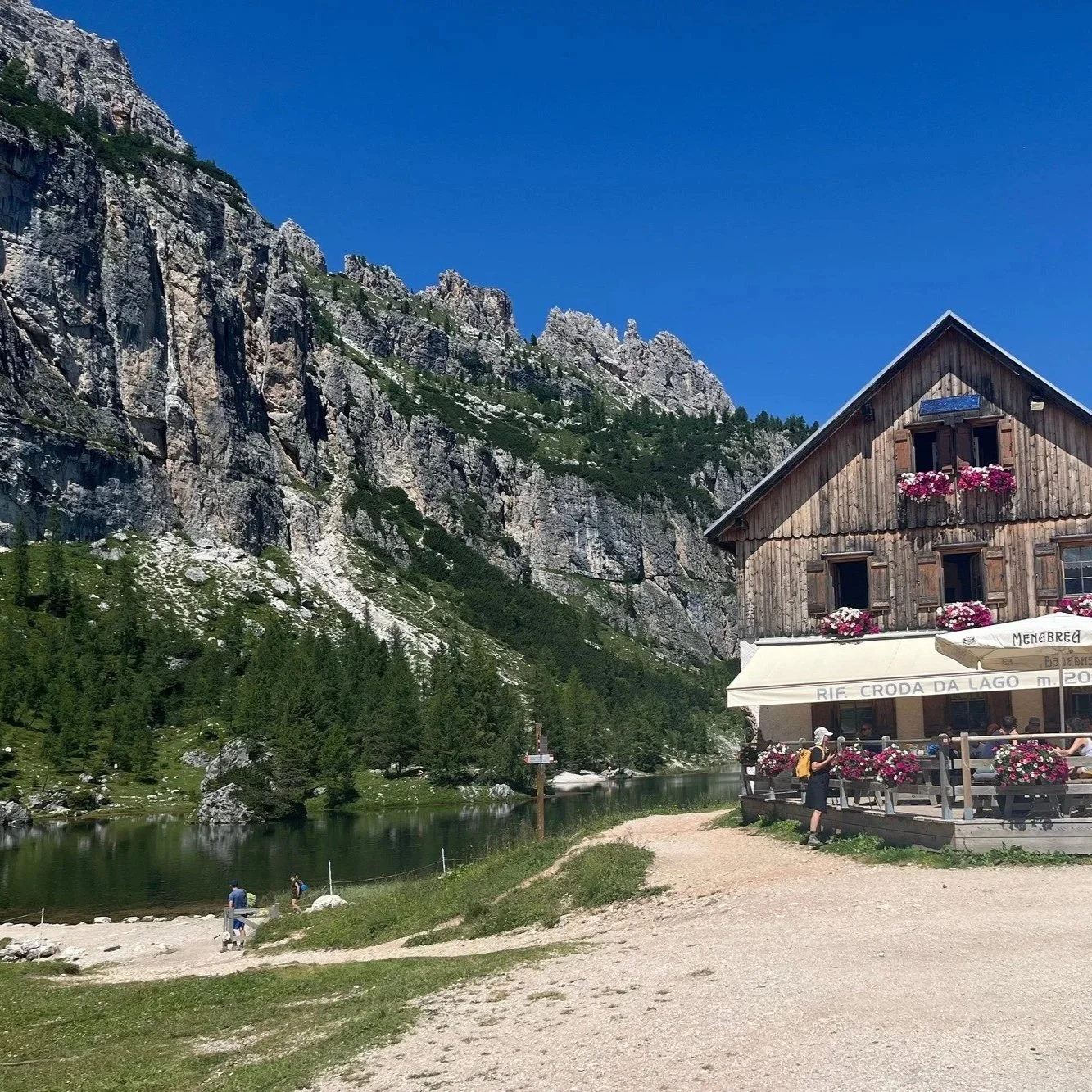
Route via Lago Federa
This busy route visits the beautiful alpine lake, Lago Federa and hugs the Northern end of the Croda da Lago mountain range. It offers spectacular views across to Lagazuoi, Averau, Nuvolau, Tofane and across to Cortina. Rifugio Croda da Lago is a great location to stay overnight or stop for lunch (or cake!).
Sign up to receive regular updates on trail conditions, new products and blog articles about hiking in the Alps.
Please enter a valid email address.
Choose the trails you’re interested in after signing up. Unsubscribe at any time.