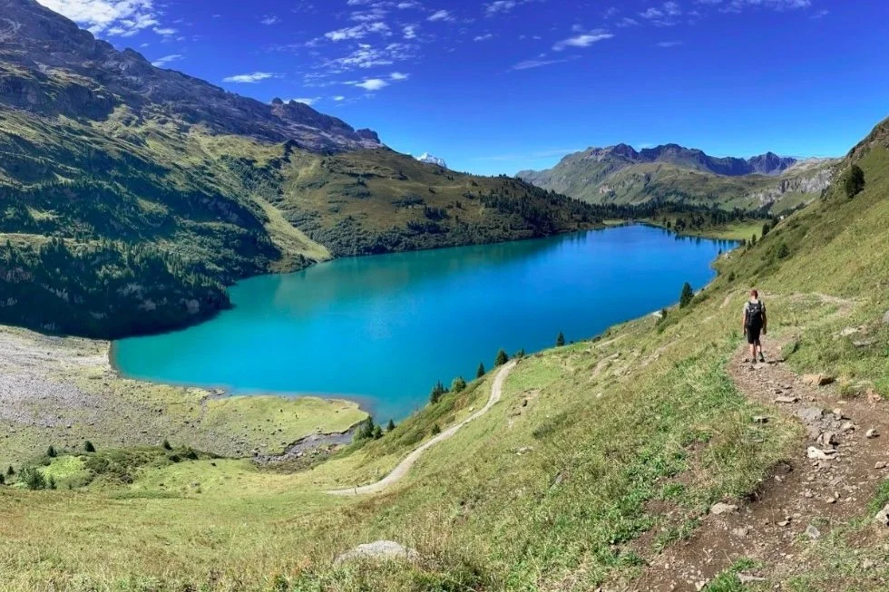
Engelberg · Alpine lake
Trübsee
Begin among lakes and mountain views above Engelberg before climbing towards Jochpass.

VIA ALPINA SWITZERLAND · BERNESE OBERLAND
Cross the Bernese Oberland on stages 8–15 of the Via Alpina. Build an itinerary around your group, secure mountain stays and prepare for a self-guided journey from Engelberg towards Lenk.
The trail at a glance
The Via Alpina is Switzerland’s signed national hiking route 1, crossing from Vaduz/Gaflei in Liechtenstein to Montreux in 20 stages. The Hiking Club supports the Bernese Oberland section from Engelberg to Lenk (stages 8–15). This section of the Via Alpina is widely considered the most spectacular stretch of the entire route—and for good reason. Its high passes, glacier views, mountain huts and villages make a rewarding point-to-point journey; your exact distance depends on route and overnight choices.
VIA ALPINA SWITZERLAND ROUTE MAP
The supported journey runs from Engelberg through the Jungfrau region, over Sefinenfurgge and Hohtürli, then through Kandersteg and Adelboden towards Lenk. Other sections extend east to Vaduz and west to Montreux.
Use the map as an overview; build your own itinerary to see the hiking distance and ascent for each day you choose.
Explore the itinerary planner →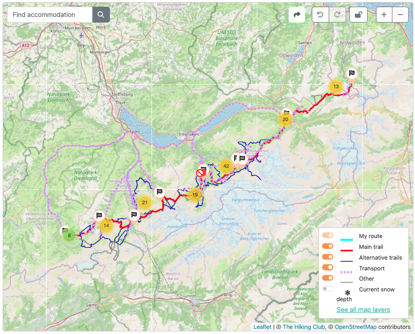
Start planning
Compare Bernese Oberland stages, secure suitable overnight stops and check the high passes as your hiking dates approach.
The Hiking Club platform
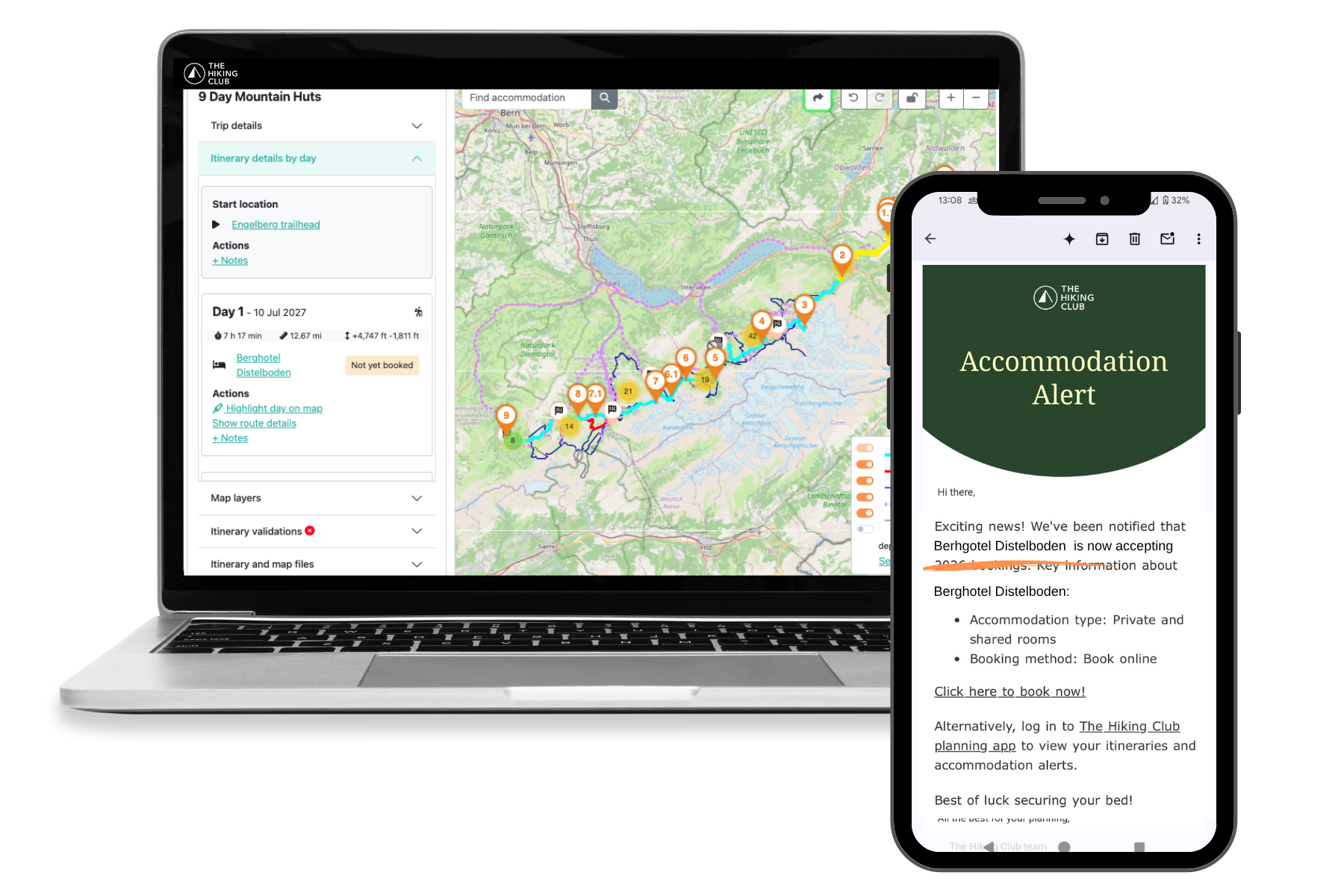
Build the Bernese Oberland traverse around your group, then bring daily stages, accommodation, preparation and navigation into one editable itinerary.
Platform access from €79 · One purchase covers your hiking group
The Bernese Oberland
Your daily stages determine how much time you have for the high passes and villages.
Choosing your itinerary
The full national route has 20 official stages. For the supported Engelberg–Lenk section, our published itinerary templates span 6–9 days. Your pace, accommodation and transport choices determine the right duration.
The eight-day main-route template covers stages 8–15. A six-day option uses selected transport connections; a nine-day version adds mountain-hut stays.
6 days
Less time, with transport
Shorten selected stages using trains or lifts; check each connection for your dates.
8 days
The classic Bernese stages
Follow the main route from Engelberg towards Lenk with hotels and private rooms.
9 days
More nights in the mountains
Add huts such as Glecksteinhütte or Gspaltenhornhütte and reshape daily stages.
Accommodation on the Via Alpina Switzerland
The Bernese Oberland stages link mountain huts, mountain hotels and villages. Your overnight stops determine daily distance and ascent, especially around the high passes.
Choose shared hut rooms, selected private rooms or village hotels. Booking methods and opening dates vary, so build your stages around accommodation you can actually secure.
Mountain huts
High stays near passes, often with shared rooms and meals.
Mountain hotels
Distinctive stops such as Engstlenalp and the Oeschinensee area.
Hotels and guesthouses
Private-room options in villages including Grindelwald, Lauterbrunnen and Kandersteg.
Campgrounds
Established valley sites may suit selected stages, with detours or mixed nights.

Gspaltenhornhütte
A mountain-hut alternative near the Sefinenfurgge and Hohtürli stages.
Availability changes as properties open bookings and hikers alter their plans. Check booking status and live availability for the overnight stops on your chosen route, then adjust stages around the places you secure.
Across the Bernese Oberland
Between Engelberg and Lenk, the route crosses high passes, glacier-carved valleys and lakes below the Eiger, Mönch and Jungfrau.
Engelberg · Alpine lake
Begin among lakes and mountain views above Engelberg before climbing towards Jochpass.

Panoramic ridge
Follow the ridge on the Engstlenalp–Meiringen stage for broad views towards the Eiger, Mönch and Jungfrau.
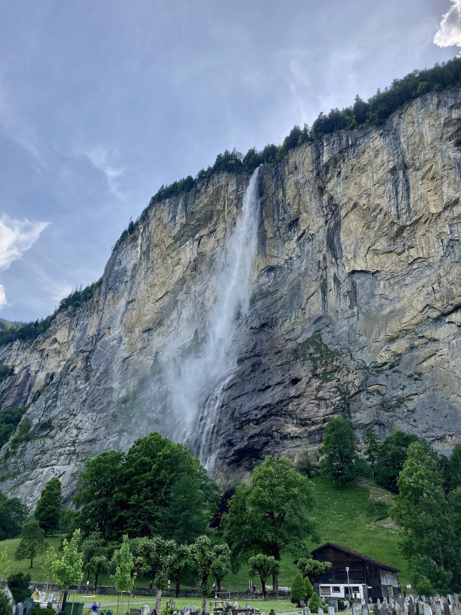
Waterfall valley
A dramatic waterfall beside the route through Lauterbrunnen.
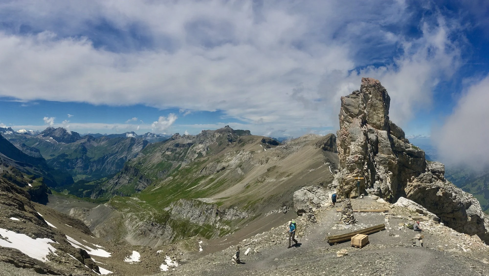
High mountain pass
A strenuous ascent and descent near the Blüemlisalp massif.

Alpine lake
Turquoise water framed by steep mountains above Kandersteg.

Western pass
Cross the pass between Kandersteg and Adelboden with wide Oberland views.
The sights you reach depend on your chosen stages and alternatives. Reichenbach Falls, Wengen and Mürren are further possibilities.
Explore Via Alpina itineraries →Choose your trailheads
The full national route starts near Vaduz/Gaflei and ends in Montreux. The Hiking Club’s supported Bernese Oberland section runs from Engelberg to Lenk; connected villages let you plan a shorter trip.
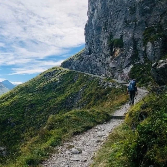
Supported eastern start
Begin stage 8 beneath the Titlis massif, with rail connections.
Trail access: Engelberg railway station
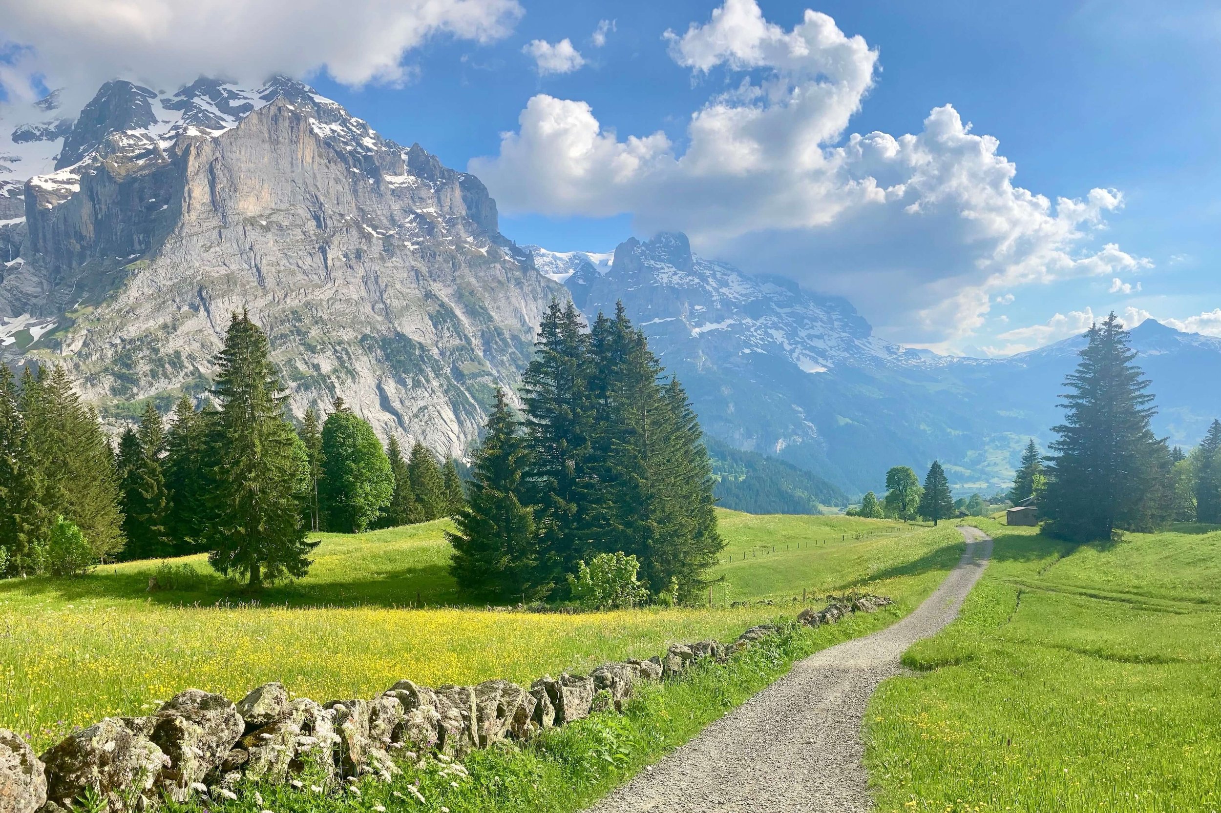
Flexible eastern access
Join around Grosse and Kleine Scheidegg for a shorter central section.
Trail access: Grindelwald railway station
Flexible central access
Begin or finish in the Jungfrau region, with rail and valley transport.
Trail access: Lauterbrunnen railway station
Supported western finish
Finish stage 15 after the crossing from Adelboden.
Trail access: Lenk railway station
Which direction should you hike?
Westbound follows stages 8–15. You can walk in reverse, but check your ascent, descent, accommodation and transport for that direction.
Personalise the route
The official stage route is the foundation. Hut detours, panoramic paths and transport choices change your terrain, ascent and overnight locations.
The foundation for your itinerary
Follow the signed route from Engelberg towards Lenk through the Jungfrau region, Sefinenfurgge, Hohtürli and Bunderchrinde, adjusting overnight stops to your pace.
Hiking alternatives
Choose a mountain-hut detour or a panoramic alternative. Each choice affects daily effort and where you sleep; check technical demands and current conditions.
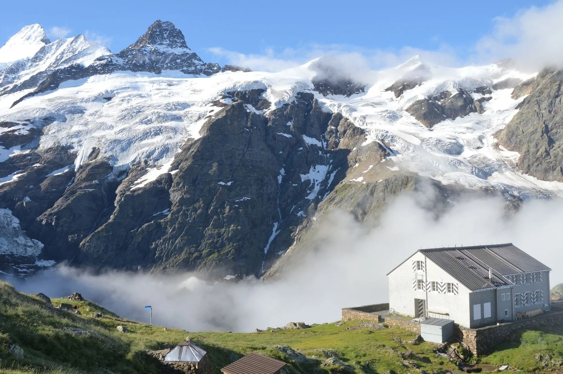
Demanding hut ascent · Grindelwald
A steep, exposed approach above the Upper Grindelwald Glacier. This is an optional alpine hut route, not a required Via Alpina stage.
Mountain hut · Kiental
Stay high near Sefinenfurgge on a hut alternative; compare the extra ascent and the next day’s crossing.
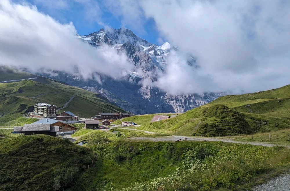
Panoramic path · Jungfrau region
Add a ridge viewpoint above Wengen and Grindelwald, using suitable trails and mountain transport.
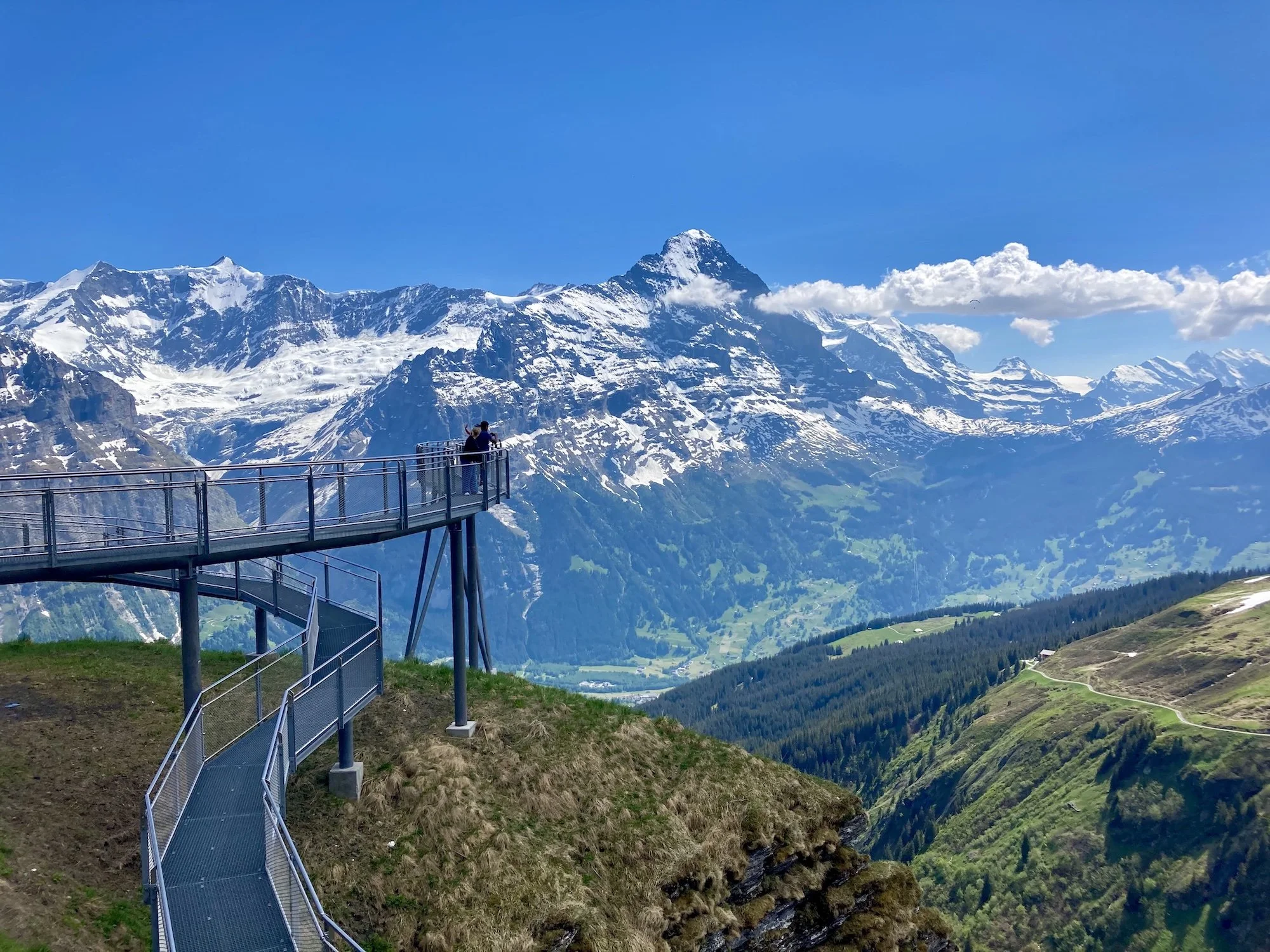
Viewpoint · Grindelwald-First
Add the cliffside walkway and viewing platform above Grindelwald. Reaching First changes your route and may involve the gondola.
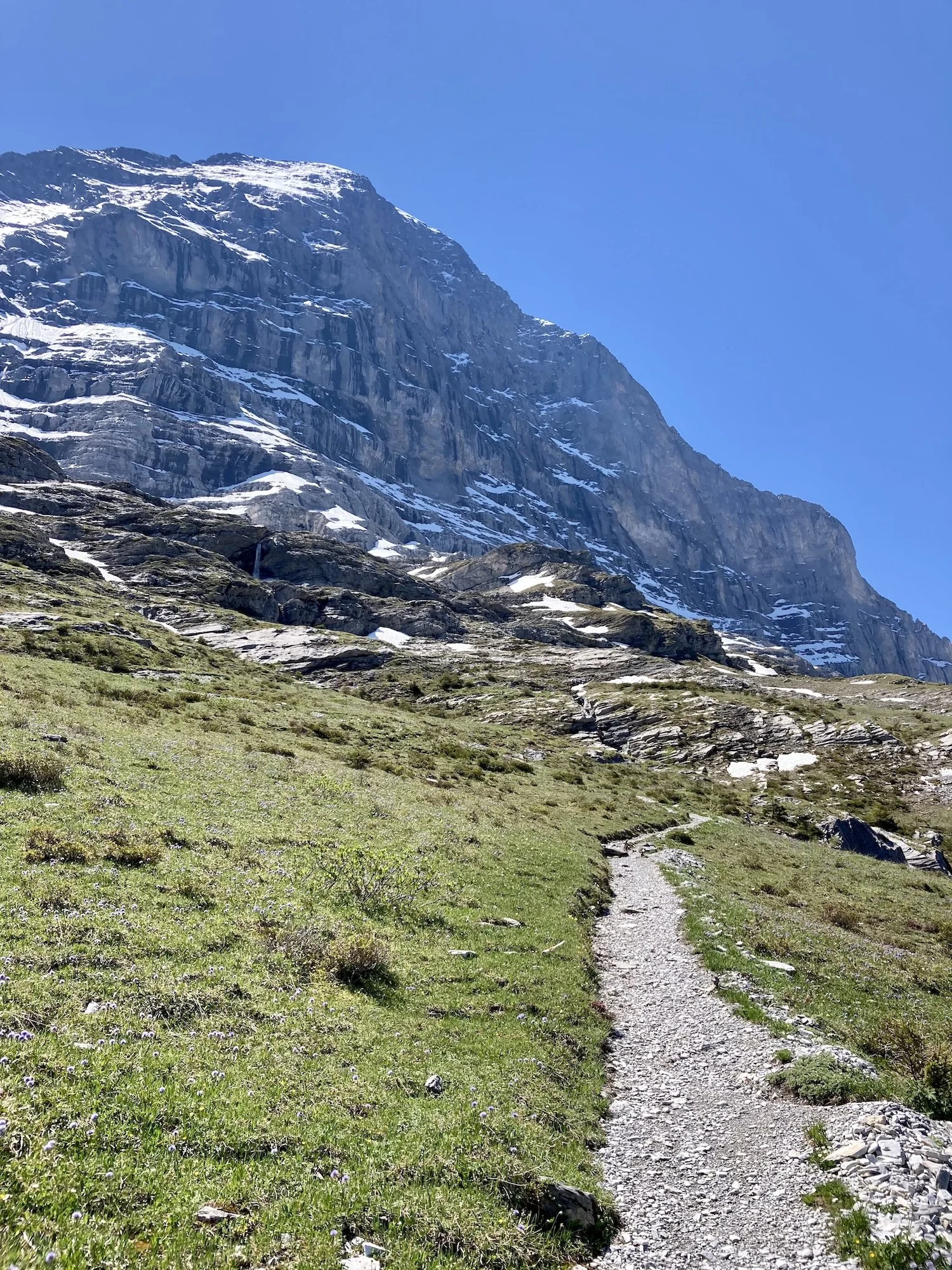
North face trail · Eigergletscher
Walk beneath the Eiger’s north face from Eigergletscher towards Alpiglen. Plan the connection back to your next Via Alpina stage.
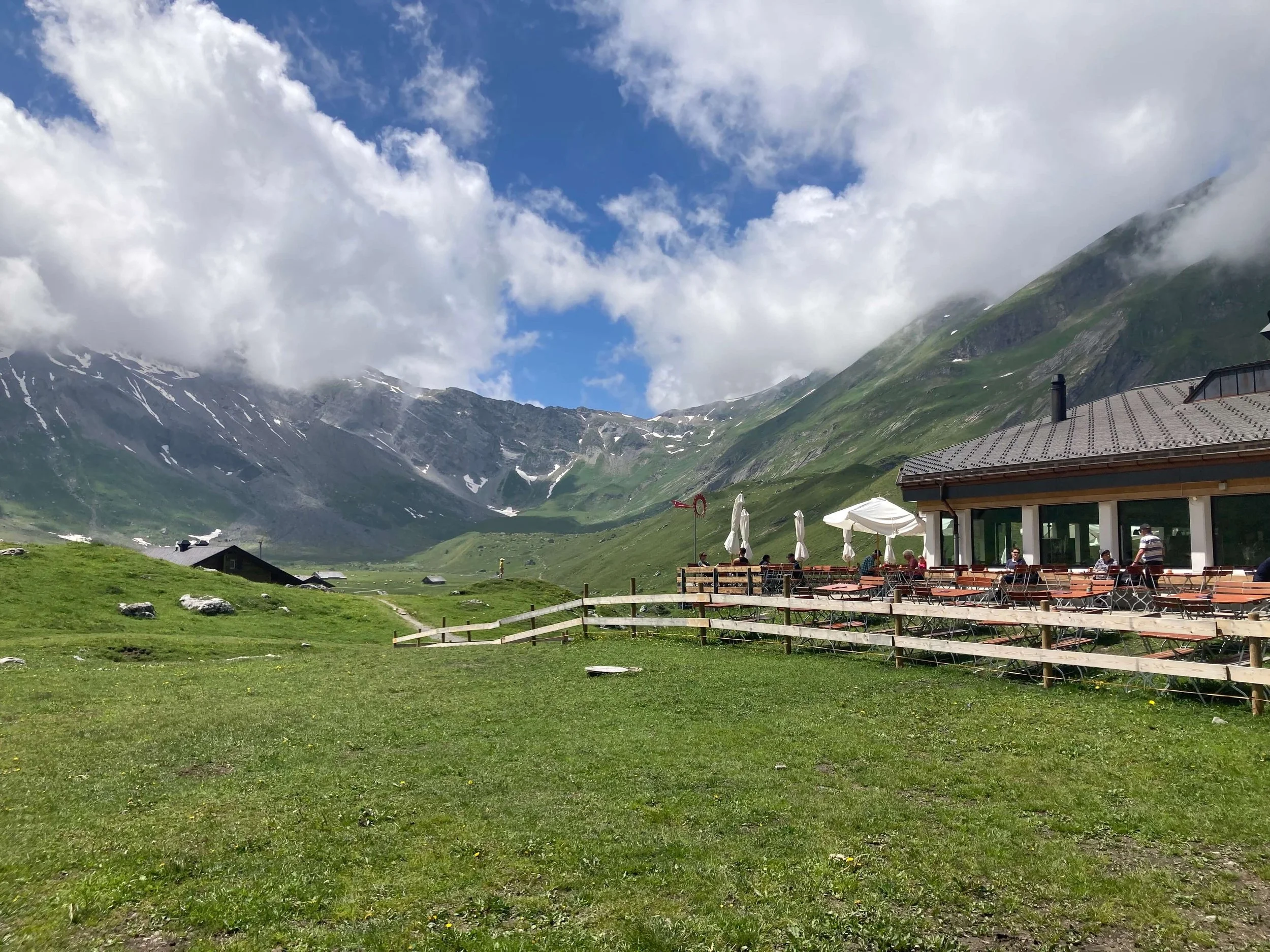
High plateau · Adelboden
Explore the mountain plateau and Engstligen Falls above Adelboden. Check the extra distance, ascent and overnight options before adding this detour.
Build the route around your ability
Compare daily distance, ascent, estimated hiking time and accommodation when you add or remove routes in the planning platform. Check current conditions before choosing a high route.
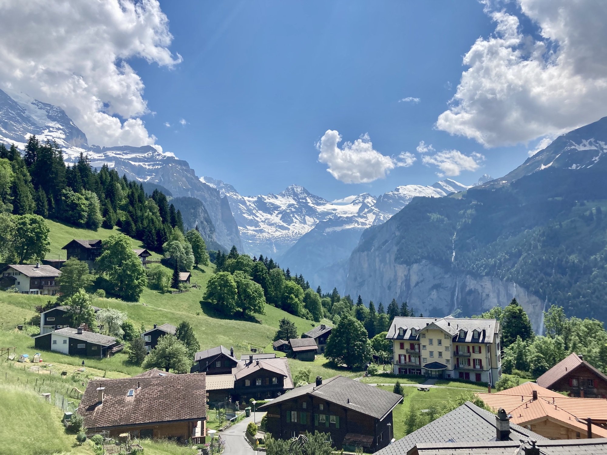
Check each campground against your daily route and ascent.
Sleeping under canvas
Established campgrounds can work for selected valley stages, but the high-pass route does not have a convenient campground at every overnight stop. A camping plan may need huts or village accommodation between sites.
Designated pitches and facilities
Check each site’s location and opening dates, then calculate the extra distance and ascent needed to reach it from your hiking route.
Fill the gaps between campgrounds
Where a campground would make the stage impractical, book an established overnight stay that keeps your daily hiking distance manageable.
Wild camping and bivouac rules vary by location. Protected areas, wildlife reserves, private land and local regulations can prohibit a night outside an established site. Check the precise location with the responsible authority and obtain permission where required; never assume that a high-altitude pitch is allowed.
Plan the complete journey
Compare campgrounds, huts and guesthouses with the distance, elevation and estimated hiking time between each stop in The Hiking Club platform.
Build a realistic budget
Your total depends on the number of days, hut or hotel room type, meals and Swiss rail or lift connections. Budget separately for travel to Switzerland, insurance, equipment and personal spending.
An example from our cost guide
CHF 900 - 1,200
Per person based on a 9-day itinerary. Check rates for your dates and chosen overnight stops.
Shared hut rooms, private rooms and village hotels produce different totals. The six-day transport template also has different travel costs from a full walking itinerary.
A single fixed price would be misleading across the 6–9 day templates. Check current prices before booking.
Compare hut dormitories, mountain hotels and village rooms, including any solo or private-room supplement.
Include half-board meals, lunches, snacks, village groceries and drinks.
Each additional hiking or rest day usually adds accommodation and meals.
Allow for trains, buses and mountain lifts used to reach trailheads or shorten stages.
Include in your trail budget
Remember to add
Plan your own trip
Choose daily stages and overnight stops in the planning platform, then check current accommodation, meal and transport prices for the places you intend to book.
The linked Bernese Oberland cost guide uses an older traverse example. Prices vary by route, dates, provider and personal choices.

Snow can remain on higher paths after lower trails become accessible.
Choose your hiking dates
July to September is the usual planning window for the high Bernese Oberland stages. Snow, pass conditions, accommodation openings and transport schedules vary by year and by stage.
Late June–early July · Early season
Snow may remain on higher or shaded trails. Check your exact route and confirm huts, mountain hotels and railway operating dates.
Mid-July–August · Main season
Long days allow varied itineraries, but popular rooms can fill. Afternoon storms and fast-changing mountain weather still affect your plans.
September · Late season
The trails can feel quieter, while daylight shortens and temperatures cool. Confirm every overnight stop and transport connection.
Use current conditions to make the final call. An open hut or railway does not mean every approach and high trail is suitable on your hiking date.
Plan around your dates
Compare Via Alpina itineraries and overnight stops for your preferred dates, then adjust the route around conditions and the rooms you can secure.
Difficulty and preparation
Stages 8–15 are demanding multi-day mountain hiking, with repeated major climbs and descents. Sefinenfurgge and Hohtürli are serious high-pass days; daily effort varies with your overnight stops.
The main route follows marked paths. Snow, loose ground, steep descents and a full pack can raise the challenge; optional hut approaches may be more exposed than the main trail.
Consecutive days of ascent and long descents call for endurance, careful pacing and recovery time.
Uneven and rocky paths require confident footing. Optional hut approaches can include exposed traverses, ladders and cables.
Snow, rain, wind and thunderstorms can change the suitability of higher trails. Check the specific stage before setting out.
Longer distances, pack weight, accommodation detours and transport choices all change the effort required.
Compare Bernese Oberland trails
Compare three Bernese Oberland journeys by length, route shape and mountain experience before choosing your hike.
Current trail
A point-to-point traverse from Engelberg to Lenk through high passes and villages. This page covers the supported stages 8–15.
Shorter Swiss traverse
A shorter linear journey from Meiringen to Leukerbad, with Oeschinensee and village stays.
Flexible mountain circuit
A flexible circuit around the Eiger, Mönch and Jungfrau with connected villages and optional high routes.
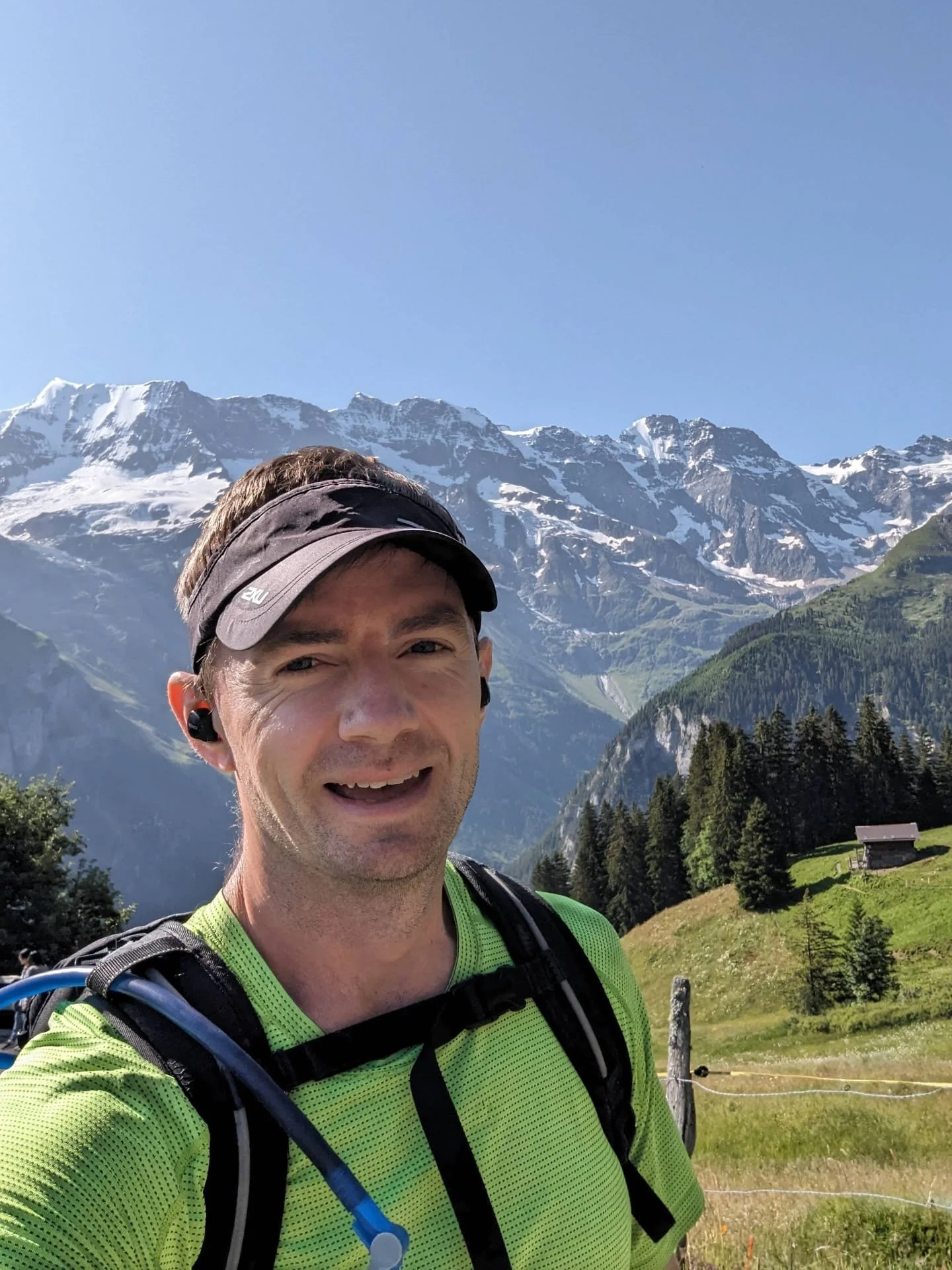
Brendan
Alpine trail specialist
Expert Access
If you would like personal help, work with Brendan to design a Bernese Oberland itinerary around your group, dates, mountain accommodation and route priorities. Then continue booking and preparing independently in the platform.
Planning questions
Answers to common questions about the full national route and the Bernese Oberland stages supported by The Hiking Club.
The full national route is approximately 390 km over 20 official stages from Vaduz/Gaflei to Montreux. The Hiking Club supports the Engelberg–Lenk section, stages 8–15, approximately 146 km before route or stay changes.
Our published templates span 6–9 days. The main-route template takes eight days; the shorter option uses selected transport, while the longer option includes more mountain-hut stays.
Compare Via Alpina itineraries before choosing your daily stages.
The current Via Alpina product and templates focus on the Bernese Oberland section from Engelberg to Lenk. The full national route continues beyond both endpoints.
The supported stages begin in Engelberg and finish in Lenk. You can join or leave at connected villages for a shorter journey.
Engelberg to Lenk follows official stages 8–15. Reverse travel is possible, but recalculates the daily climbs, descents and transport logistics.
Expect demanding consecutive mountain days and substantial ascent and descent. The Sefinenfurgge and Hohtürli crossings call for fitness, confident footing and suitable conditions.
Yes. Self-guided hikers should arrange accommodation, carry offline navigation, check current conditions and choose stages within their ability.
Learn how to prepare your route for offline navigation.
July through September is the usual planning window for the high Bernese Oberland stages. Check snow, hut openings and pass conditions for your exact dates.
Established campgrounds may suit valley stages, but not every high-pass overnight stop. Check local rules and combine designated sites with huts or other accommodation as needed.
Yes. Switzerland’s railways, buses and mountain transport can shorten selected stages or provide an exit. Check seasonal operation and schedules before relying on a connection.
Start checking booking dates and availability early for small huts and popular summer nights. Confirm your stays before finalising daily stages.
Plan your self-guided Via Alpina Switzerland
Compare Bernese Oberland stages, secure suitable accommodation, prepare for high-pass conditions and take your personalised route into the Swiss Alps.
Sign up to receive regular updates on trail conditions, new products and blog articles about hiking in the Alps.
Please enter a valid email address.
Choose the trails you’re interested in after signing up. Unsubscribe at any time.