Finding stillness and connection through hiking
Kayla Costigan is an American travel nurse I met while I was trekking solo in New Zealand. We connected over a shared passion for travel, nature, movement, and helping others. We have since hiked together throughout the United States, as well as in Morocco, Portugal, and Prague. I asked Kayla some questions about what hiking means to her. This is her story…
As a kid, my parents would have to drag me to go hiking. We would go to New Hampshire from our small Boston suburb and hike for one to two hours. I remember trying to beat my sister to the top, eating Clif Bars, and only pausing for one minute before running back down.
I then hiked a few times as a young adult. Once, when planning a trip in Colorado with my sister, I remember thinking, ‘these reviews on AllTrails are not right. I could push myself to more advanced hikes and higher peaks’. As sports slowly exited my life and physical feats were harder to come by, I began turning to other things to feel accomplished and focus on, and hiking filled that void.
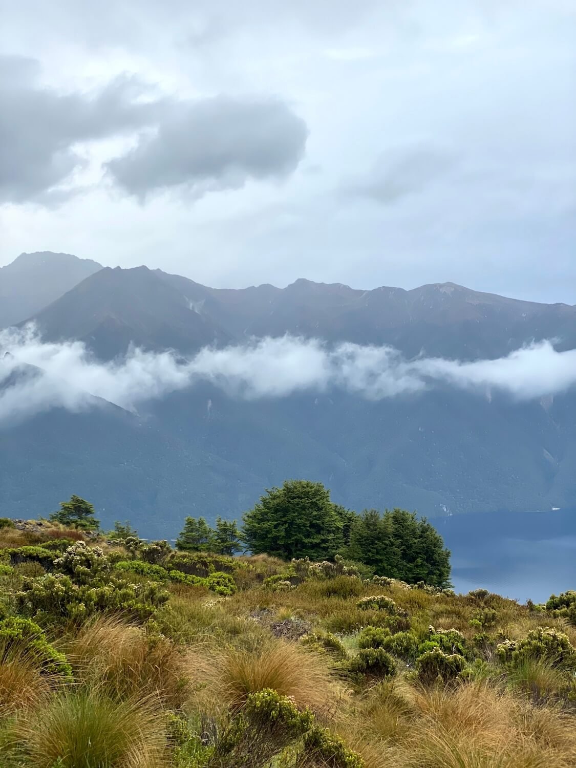
In early 2020, I was planning a solo trip to New Zealand and Australia for two months. The perk of traveling solo was that I could plan the trip that I wanted. I searched online for the best hikes in New Zealand and learned about the Great Walks. I was hooked. My first choice was the popular Milford Sound Track, but it was sold out for my dates. The second was the Kepler Track. The hike was for four days and three nights. Woah, overnight hiking? I hadn’t done anything like that before. I wondered what it would entail? Would I sleep in a tent? What gear would I need to bring?
I signed up for the trek on Christmas eve, as my family watched Harry Potter next to me, complaining about the light from my laptop. I smiled to myself as I closed my computer after reading the confirmation email. I was ready to take my hiking to the next level. I would be doing the Kepler Track.
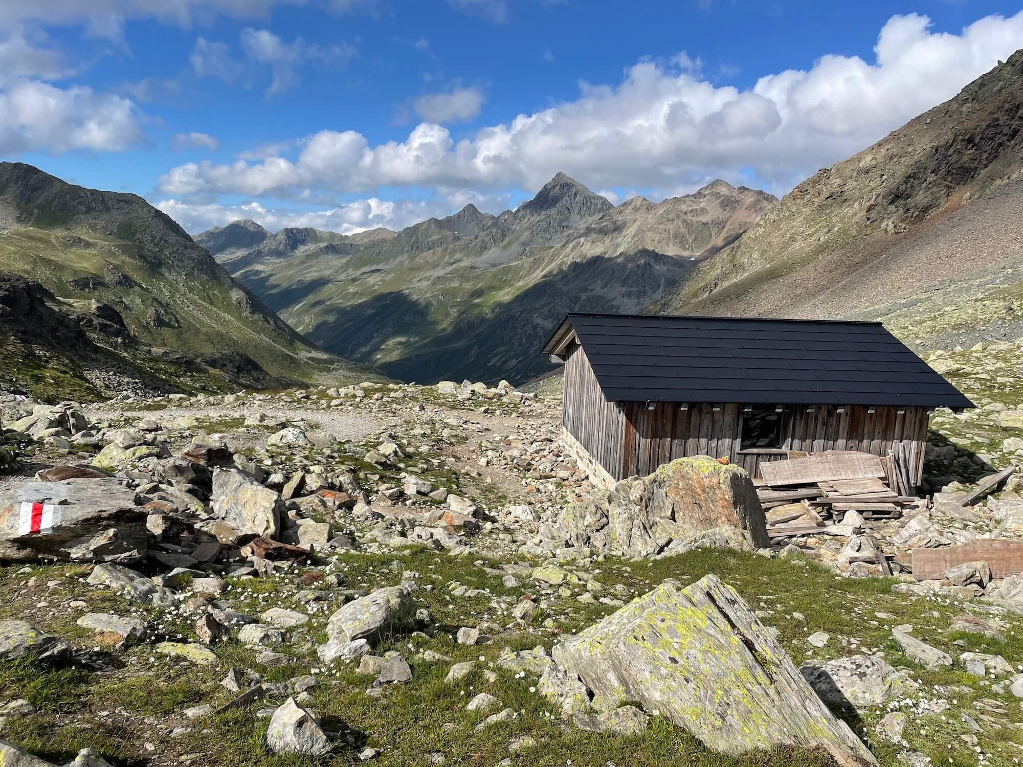
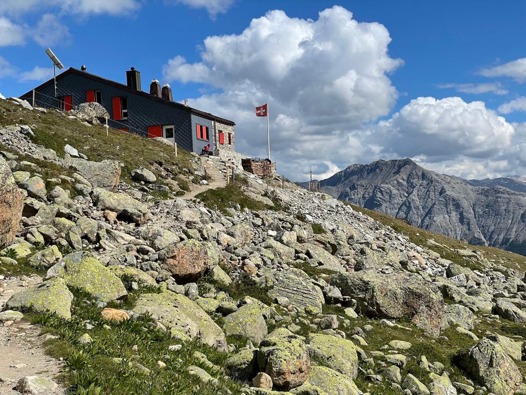
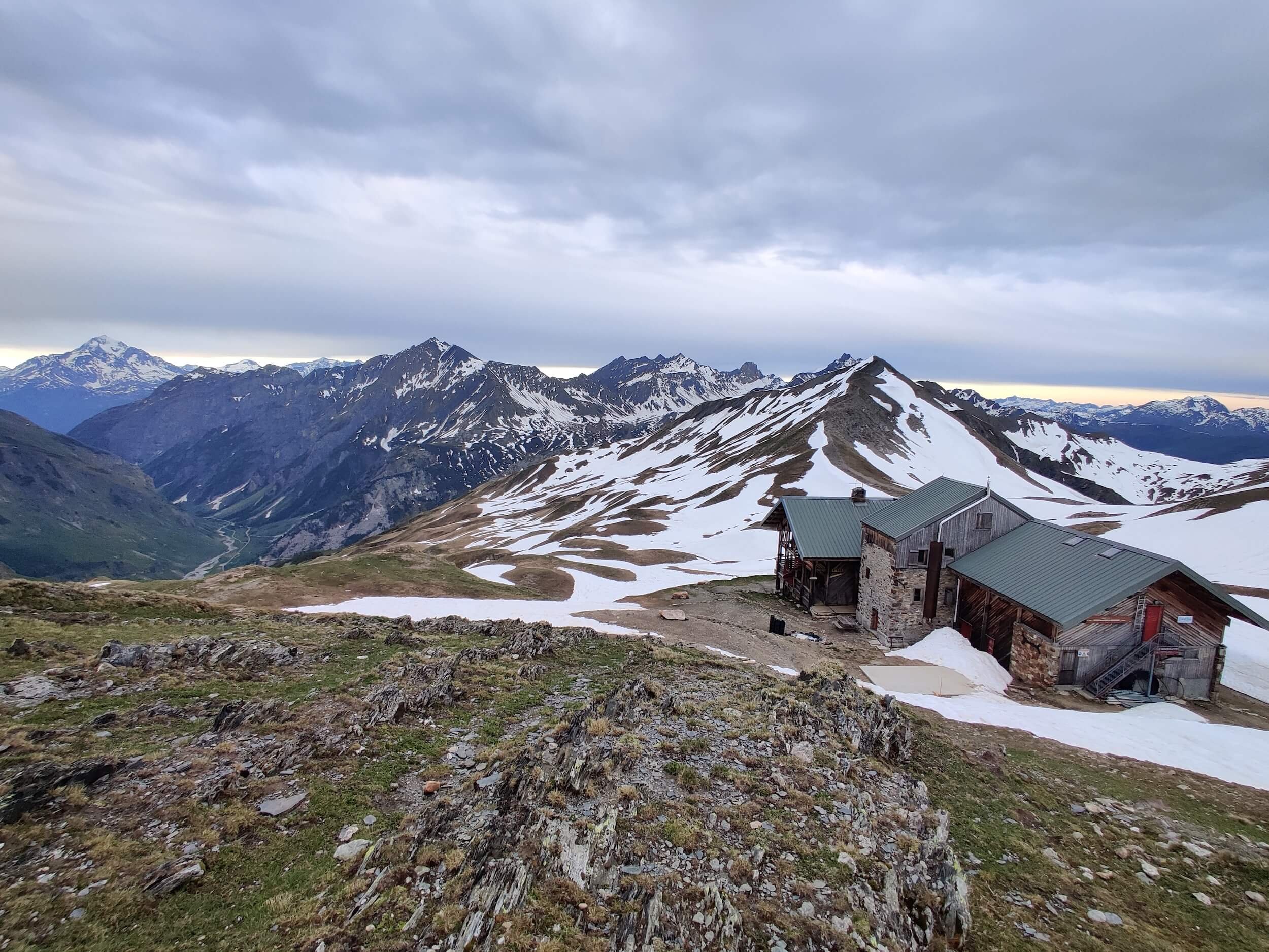
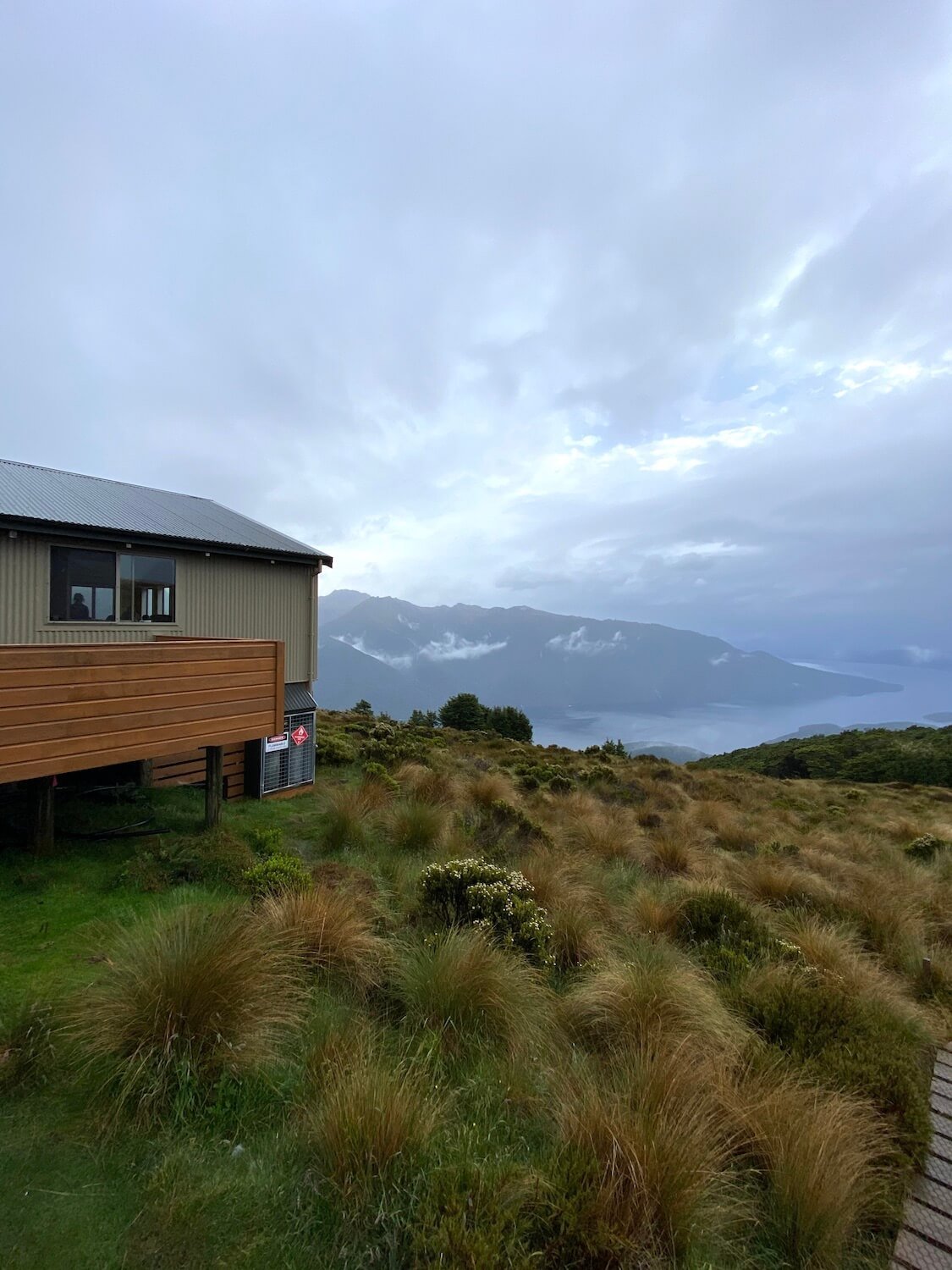
I learned that I was not sleeping in a tent but in hiker huts tucked into the mountains. I had never done anything like this. I made it to the start of the trek after countless Google searches for flights, buses, and hostels in these ‘Southern Alps’.
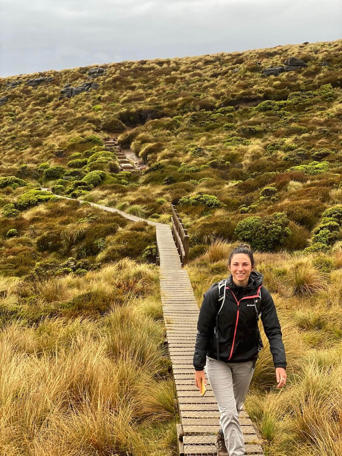
The day was finally here. With my bag packed, I stood at the permit office in New Zealand. “You should not do the trek!” the woman at the desk said as she judged the abnormally small size of my pack. “The forecast is for inclement weather, the most rain New Zealand has seen in 100 years. There is a risk of mud-slides”. I had traveled so far to do this hike and had my heart set on it. I had been running every day to train for it. I needed it.
I thought to myself, ‘okay, I will go to the first hut, if I feel unsafe, then I just turn around and hike out, as simple as that.’ I felt prepared with enough food and water to last me a few days and I had plenty of layers to keep warm.
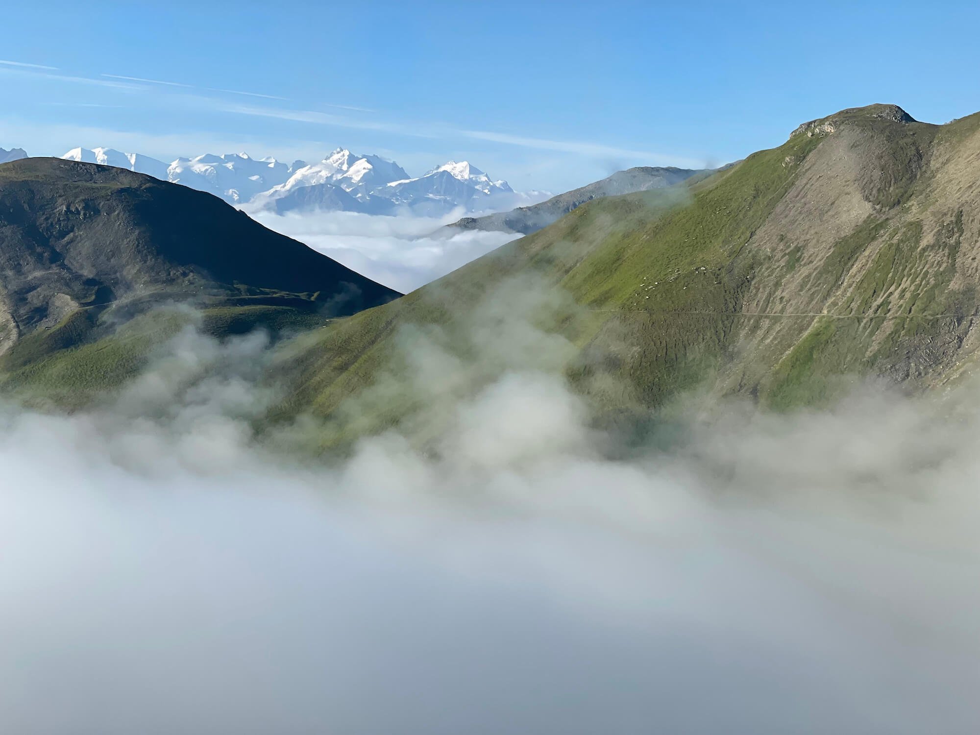
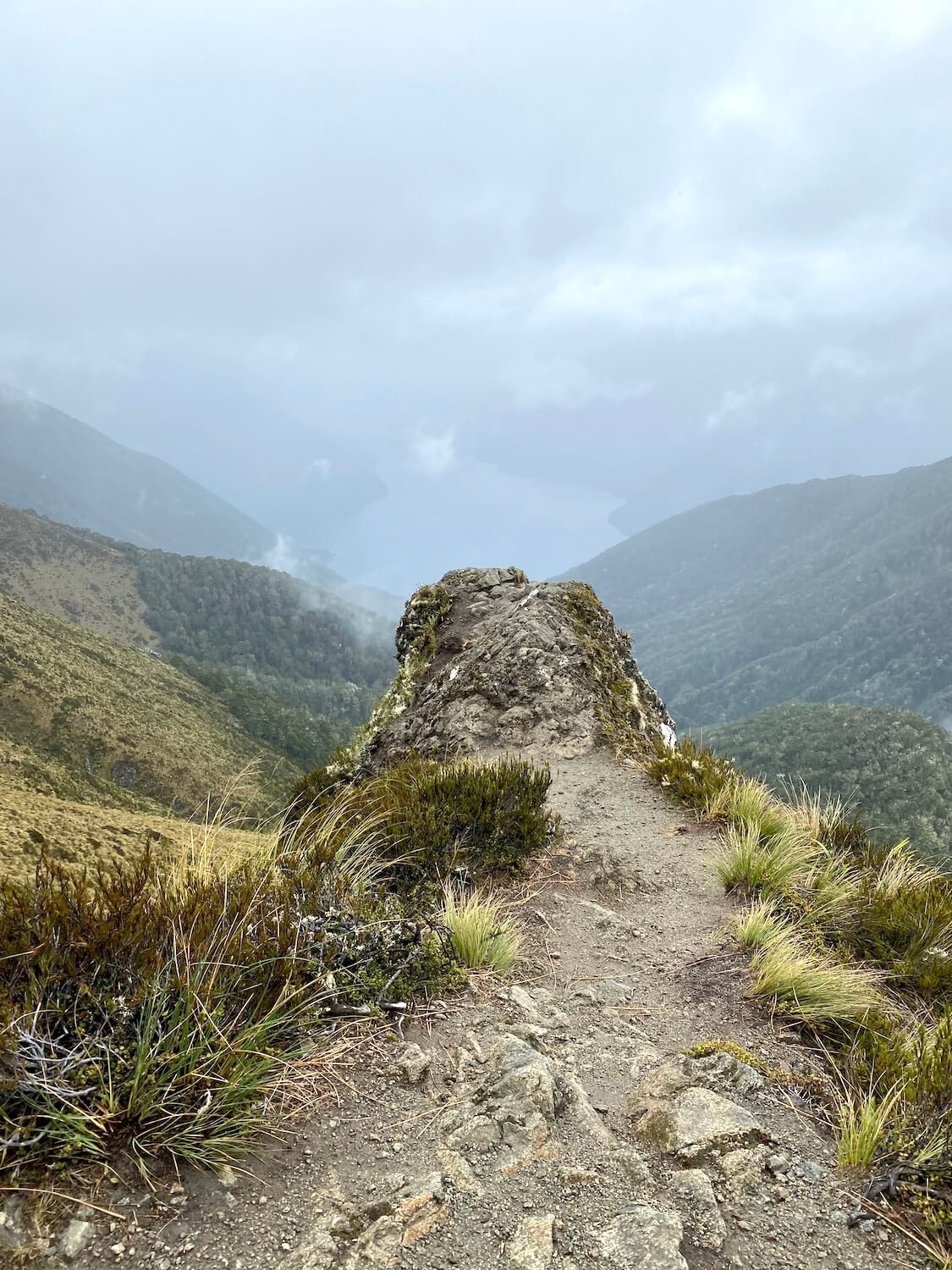
I followed my gut, the same one I have learned to listen to and trust. I entered the trail alone with hours and miles of hiking ahead of me. I can do this, I know I can. I watched my cell phone service bars dwindle with the sunlight. The clouds were upon me but I kept moving forward. I realized that I had never been alone in the mountains before, let alone mountains on the southern island of New Zealand. It was gorgeous.
I started seeing glimpses of giant fjords through the clouds, proof of my elevation gain and an inspiration to fuel those endorphins and tolerate the raindrops beginning to fall from the sky.
For one of the first times in my life I felt peace and was comforted by the silence and solitude. I was no longer afraid but energized, walking step by step toward my goal, and knowing that I had got myself to this moment. I felt a sense of calm that would help shape many future decisions. Instead of only chasing the highs, the excitement, and the peaks, I started seeking out quiet sacred moments with my best friend: myself.
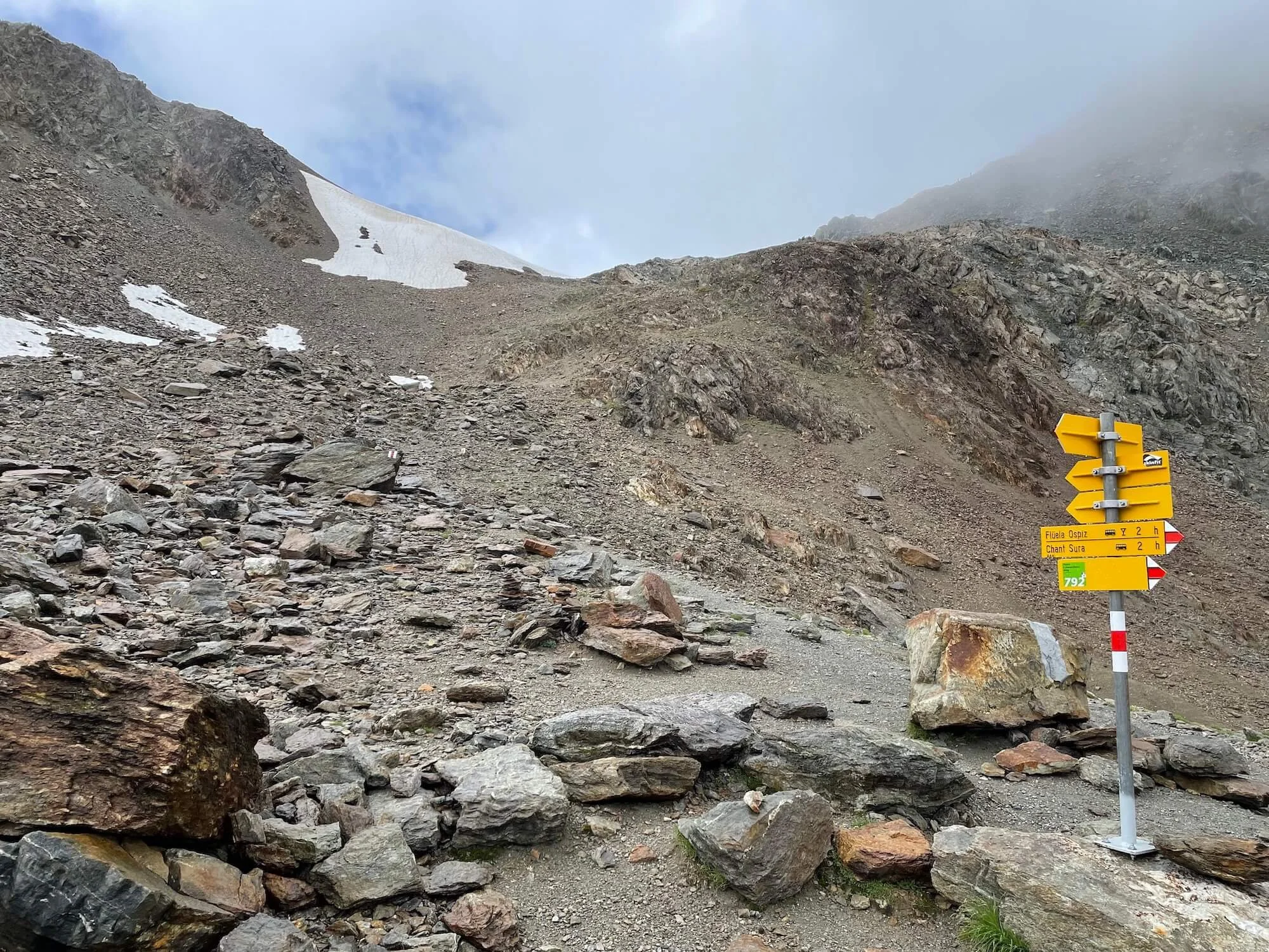
Throughout the trek, I was sometimes alone, but at other times I connected with hikers on similar, parallel journeys who, like me, appreciate the power of nature and the peace it provides. Yes, I did make it to the first hut that day! After four 4 days of walking, I completed the Kepler Track; hiking through record rainfall, finding direction through nature, both presently and for my future, and connecting with new friends along the way.
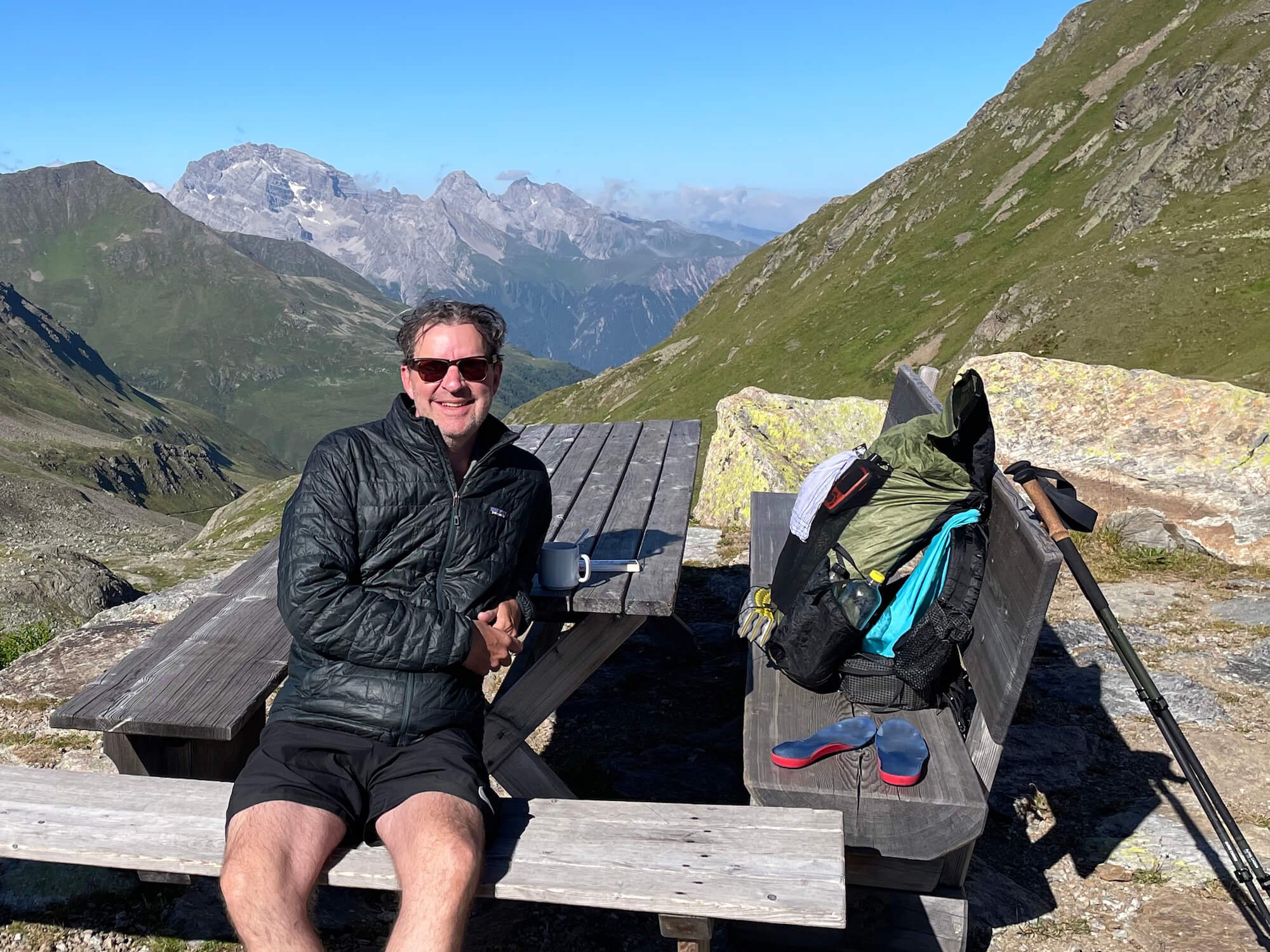
At that first hut, I met Sam, a hiker from Seattle who was also trekking and traveling solo, seeking peace and connection with nature to help her along her personal journey. People you meet on the trail are special and they stick with you. You create a bond that is unique to the disconnection from the rest of the world, something that is hard to come by in our connected world. The trail provides this space.
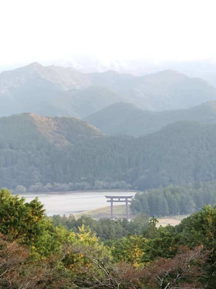
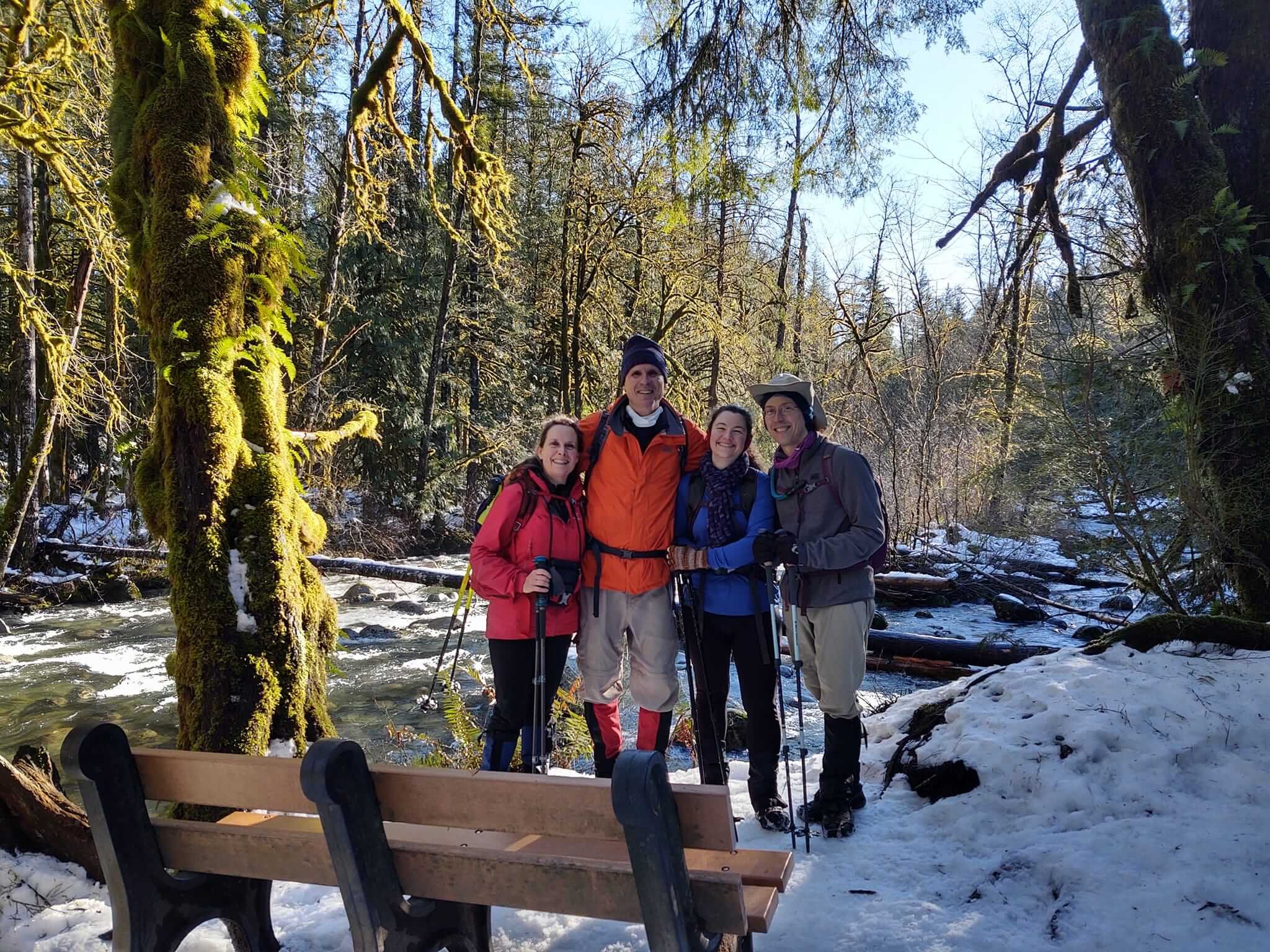
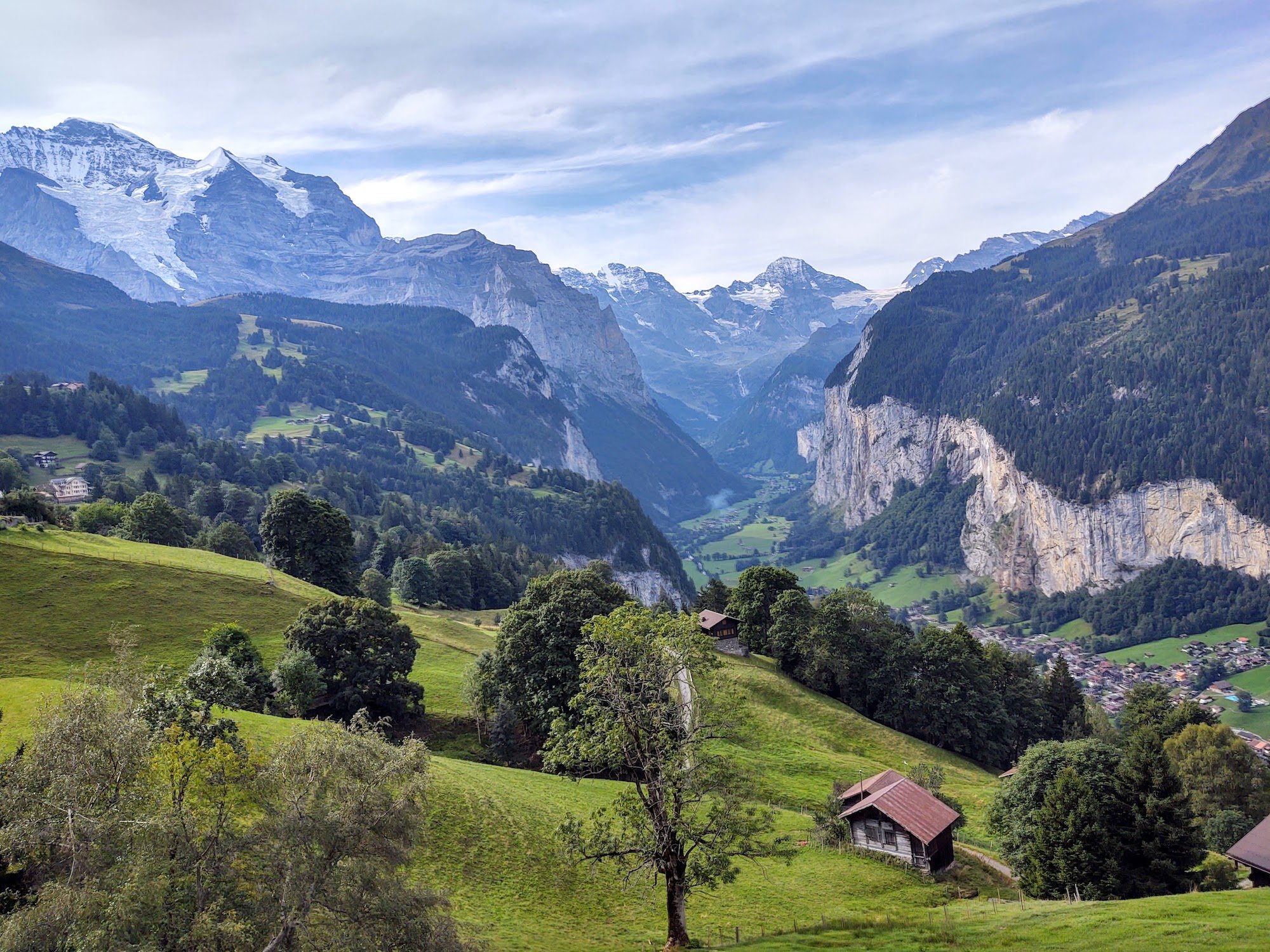
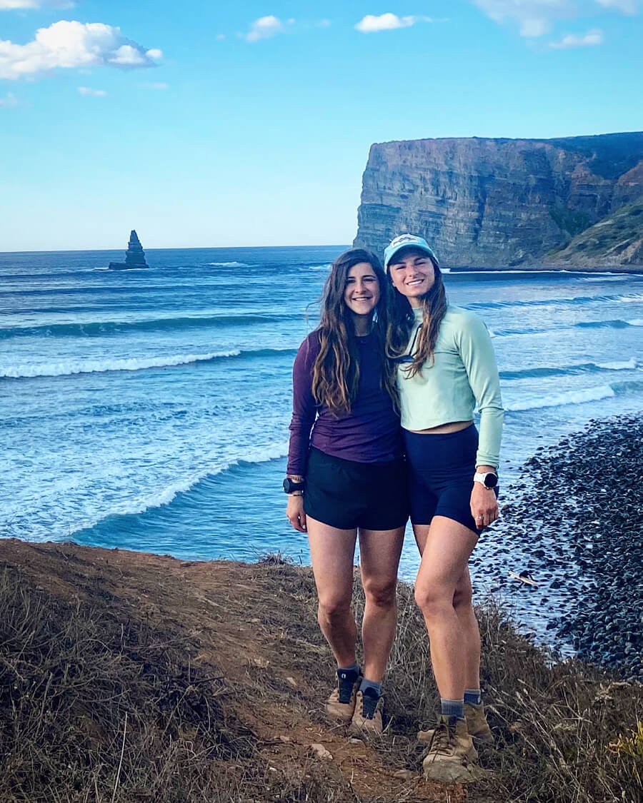
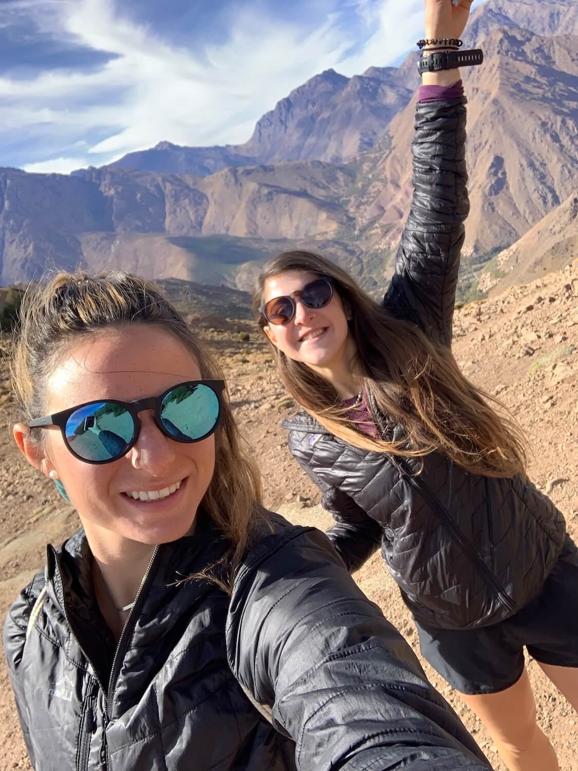
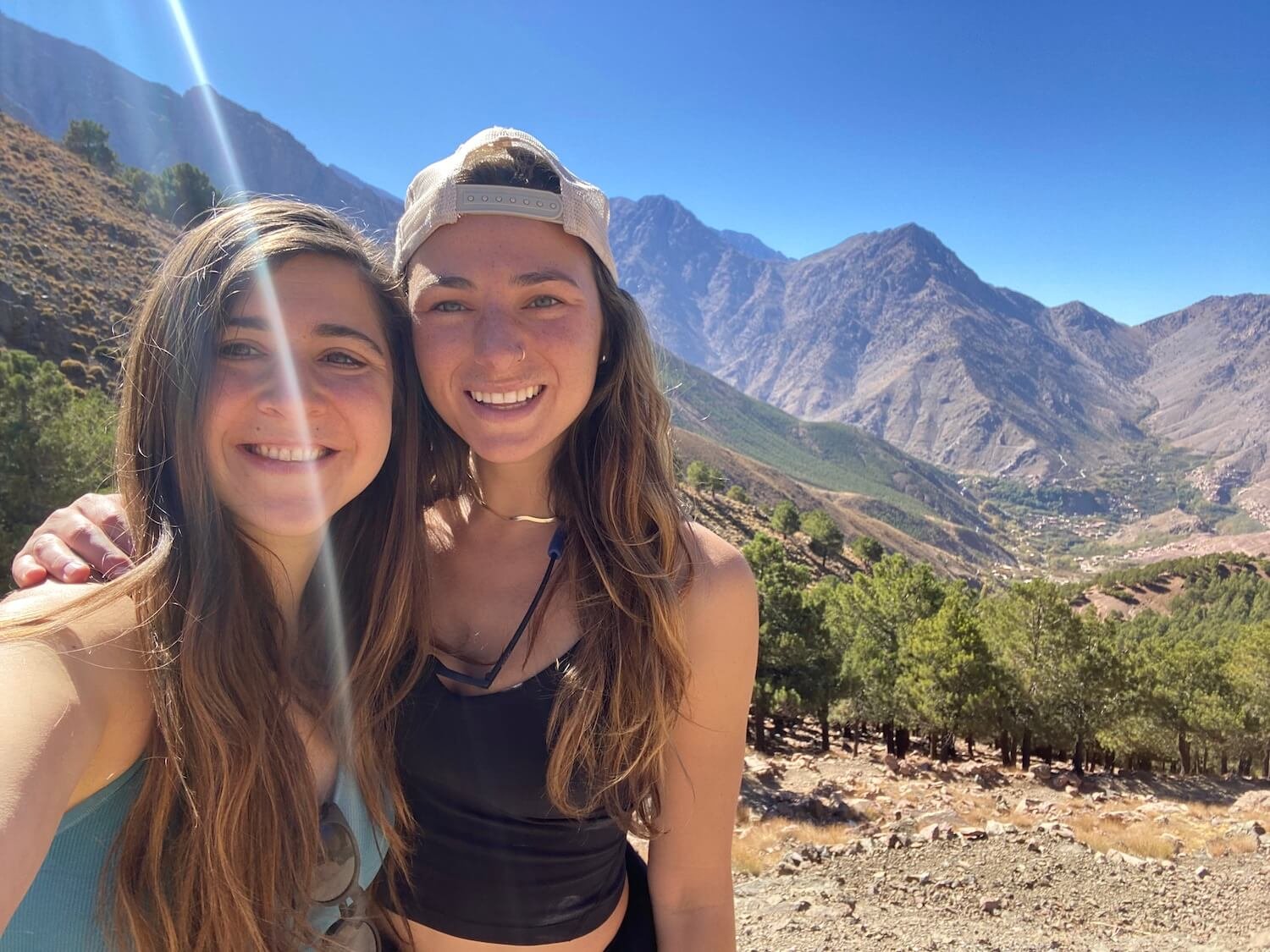
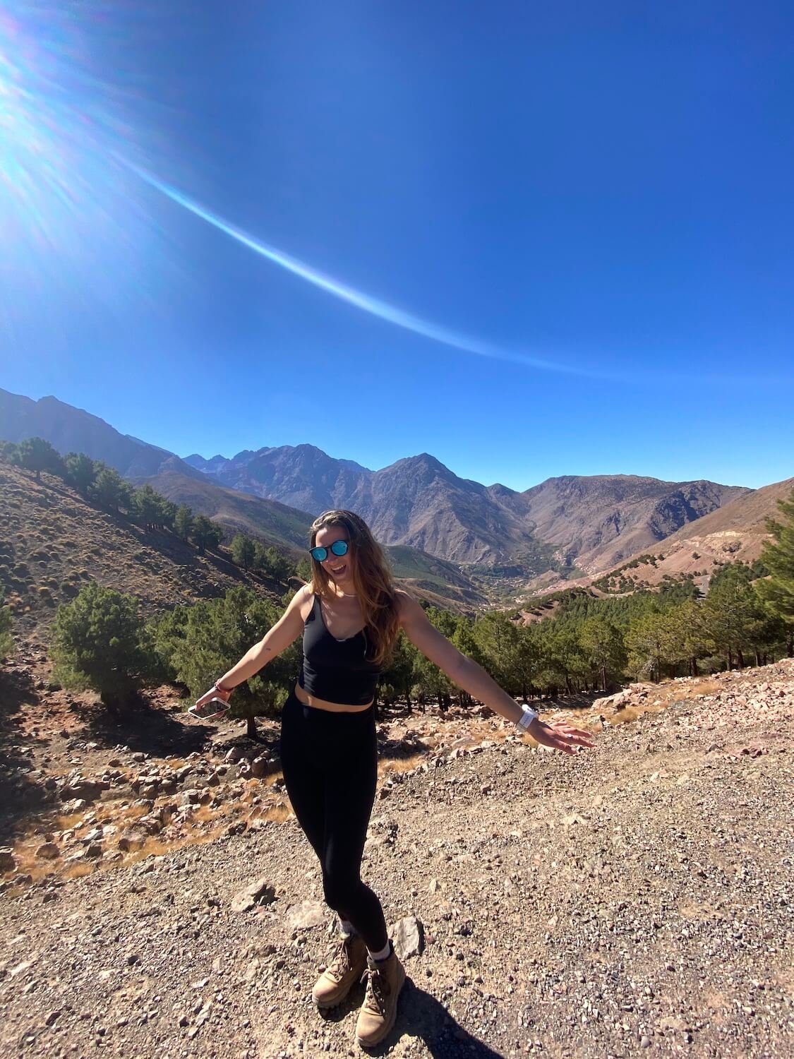
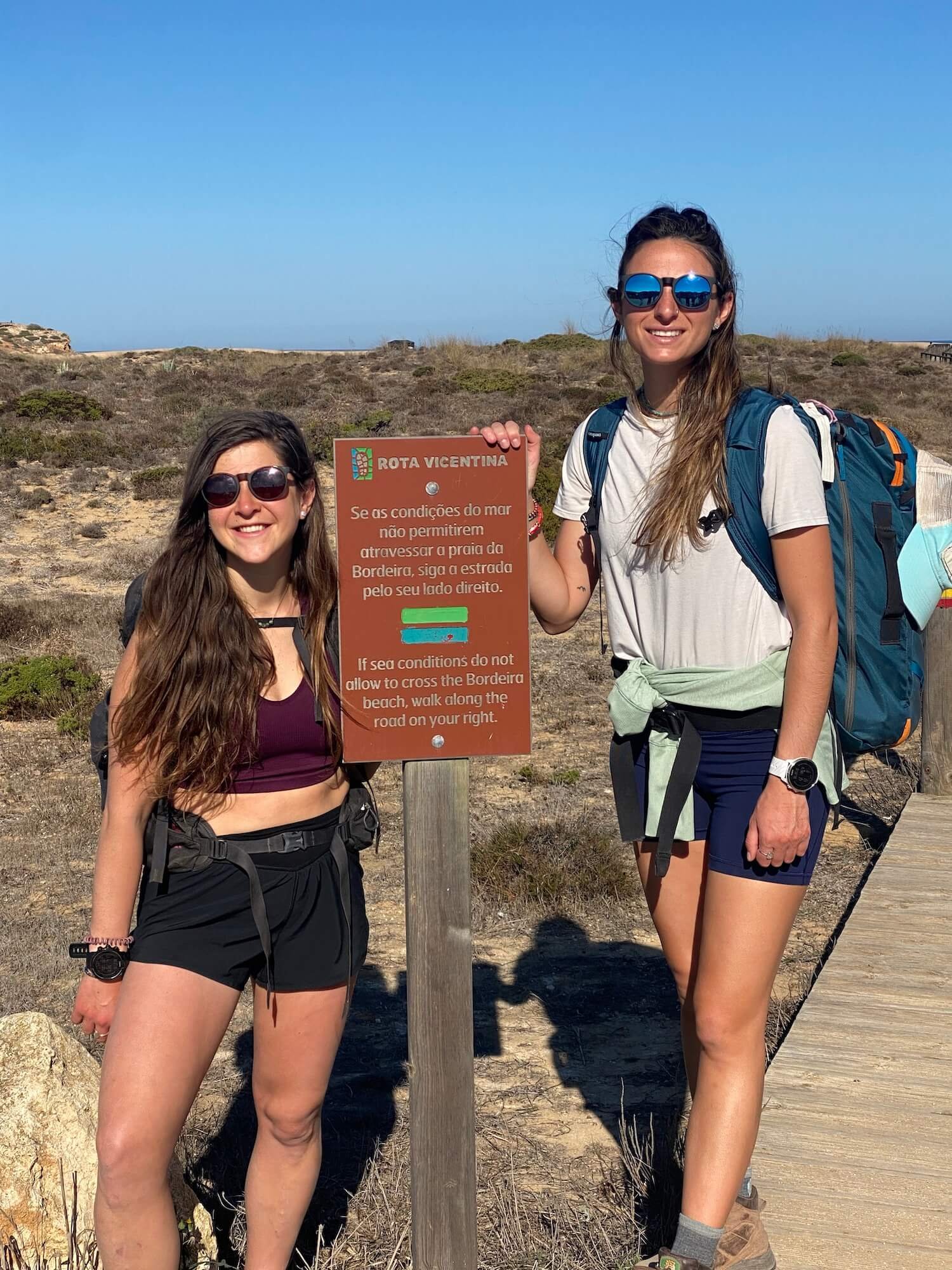
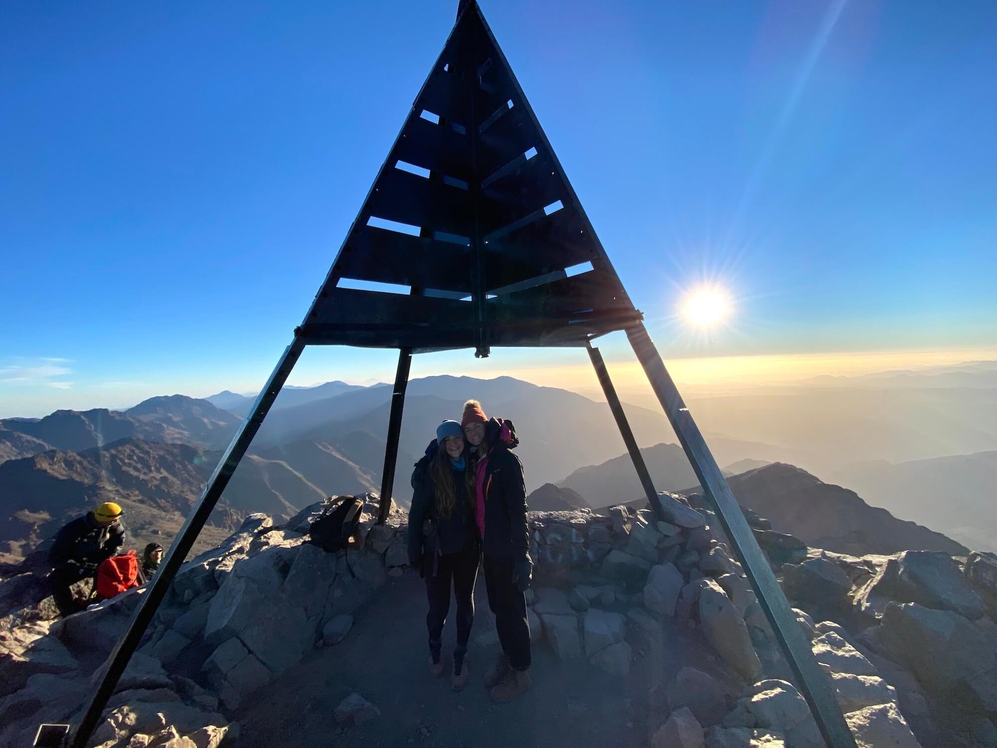
Since meeting in that hut in New Zealand, Sam and I have hiked in 4 additional countries, completing a road trip through the National Parks of Utah, USA, on a guided trek through the Atlas Mountains in Morocco to the second highest peak in Africa, up the coast of Portugal on The Fisherman’s Trail, and on a day hike outside of Prague.
Any conversation on a trail is pure, whether it is with other hikers or with yourself. It is my favorite place to get quiet and tune into my gut. Hiking is where I am the most present and able to fully listen with the intent to learn and share my own wisdom and experience in return. The presence that I found on the trail is something I now try to bring into the rest of my life.
I now seek out other ways to shut down my mind without needing a flight across the world or an epic adventure. These are things I can bring into my everyday life. I fell in love with meditation and recently became a certified meditation teacher. I find quiet moments in my days to be still, feel present, and take it all in. I practice yoga, find nature wherever I can, go for walks or runs wherever I am, and drag friends and family to appreciate the power that the quiet of nature provides.
The Kepler Track changed what it is I seek out in life. It made me crave peace, a type of peace that is easily found in nature, and it brought amazing people into my life. It helped me begin to explore the body mind connection and the power that exists between the two.
Hiking is a form of moving meditation to me, and whether alone or with others, it is the time I use to check in with myself and where I am in life and on my journey. It is a time where I find a sense of stillness in motion and that in turn brings me peace.

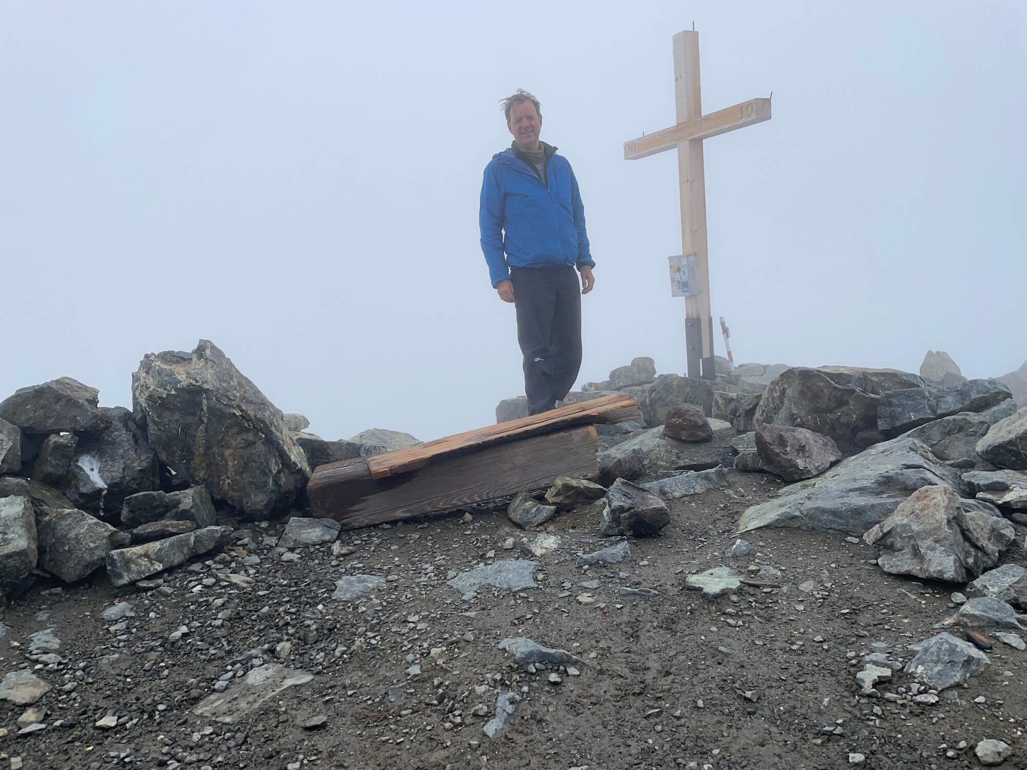
Author: Sam Goldklang, USA
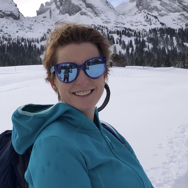
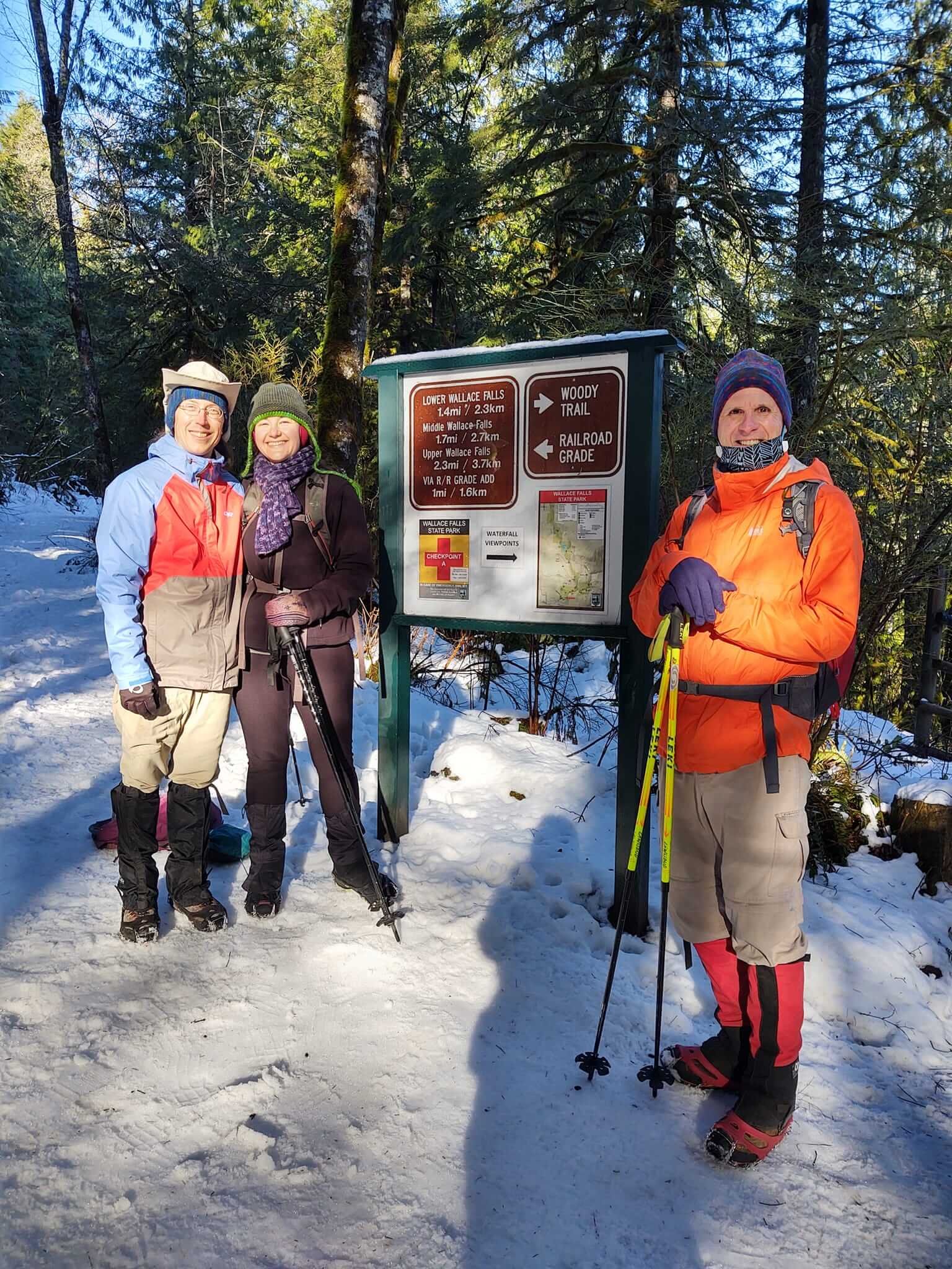
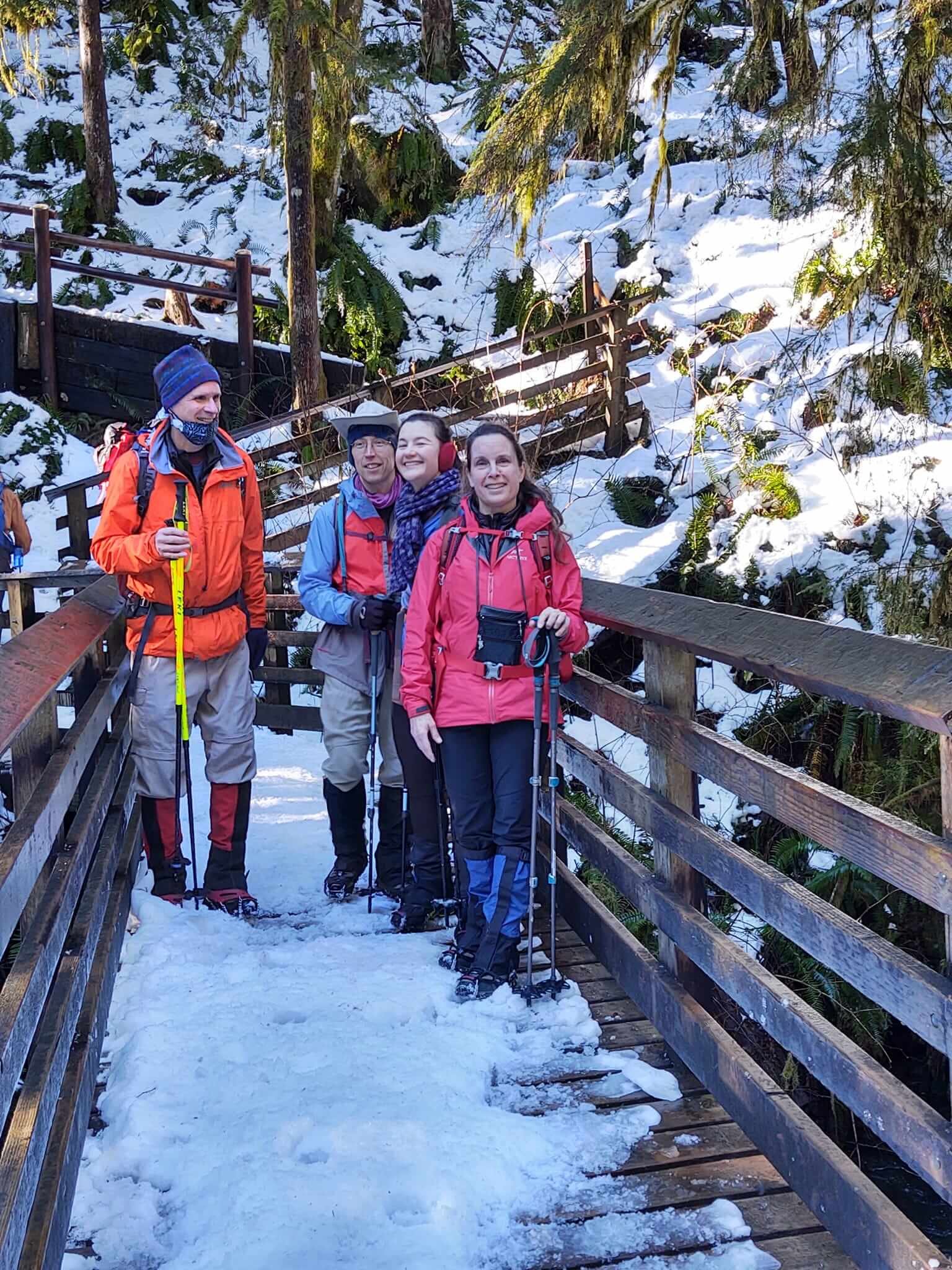
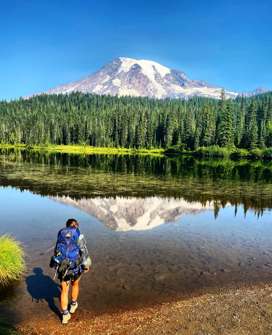
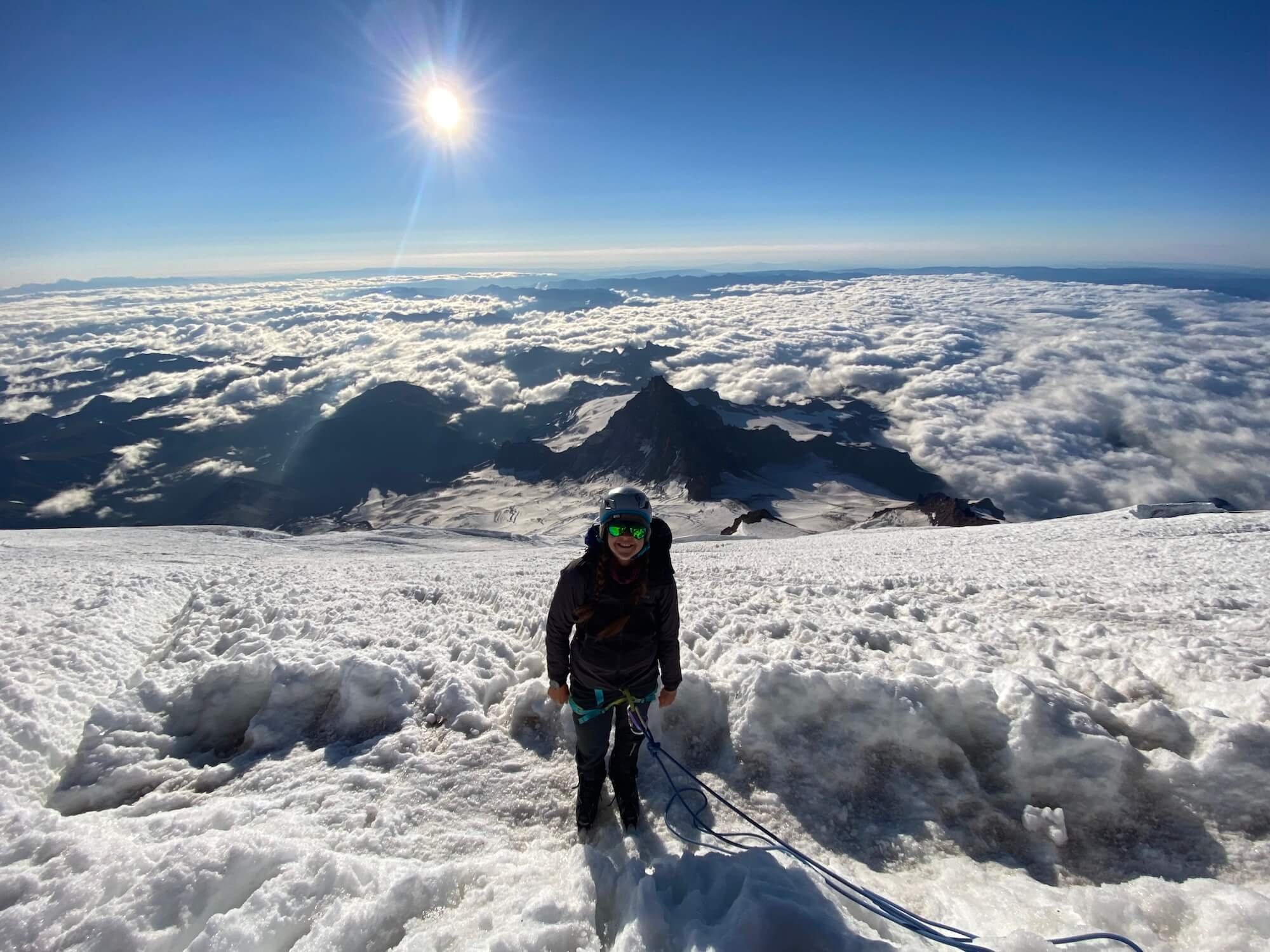
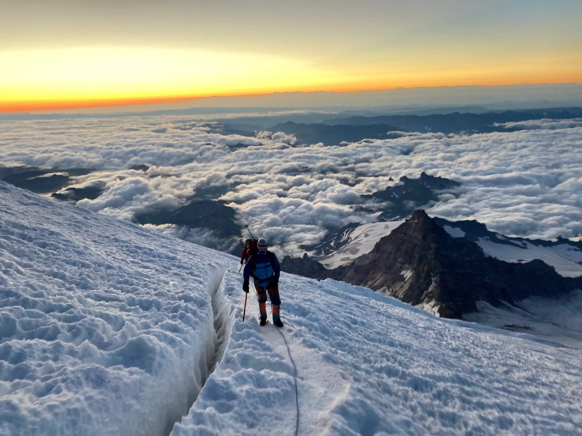
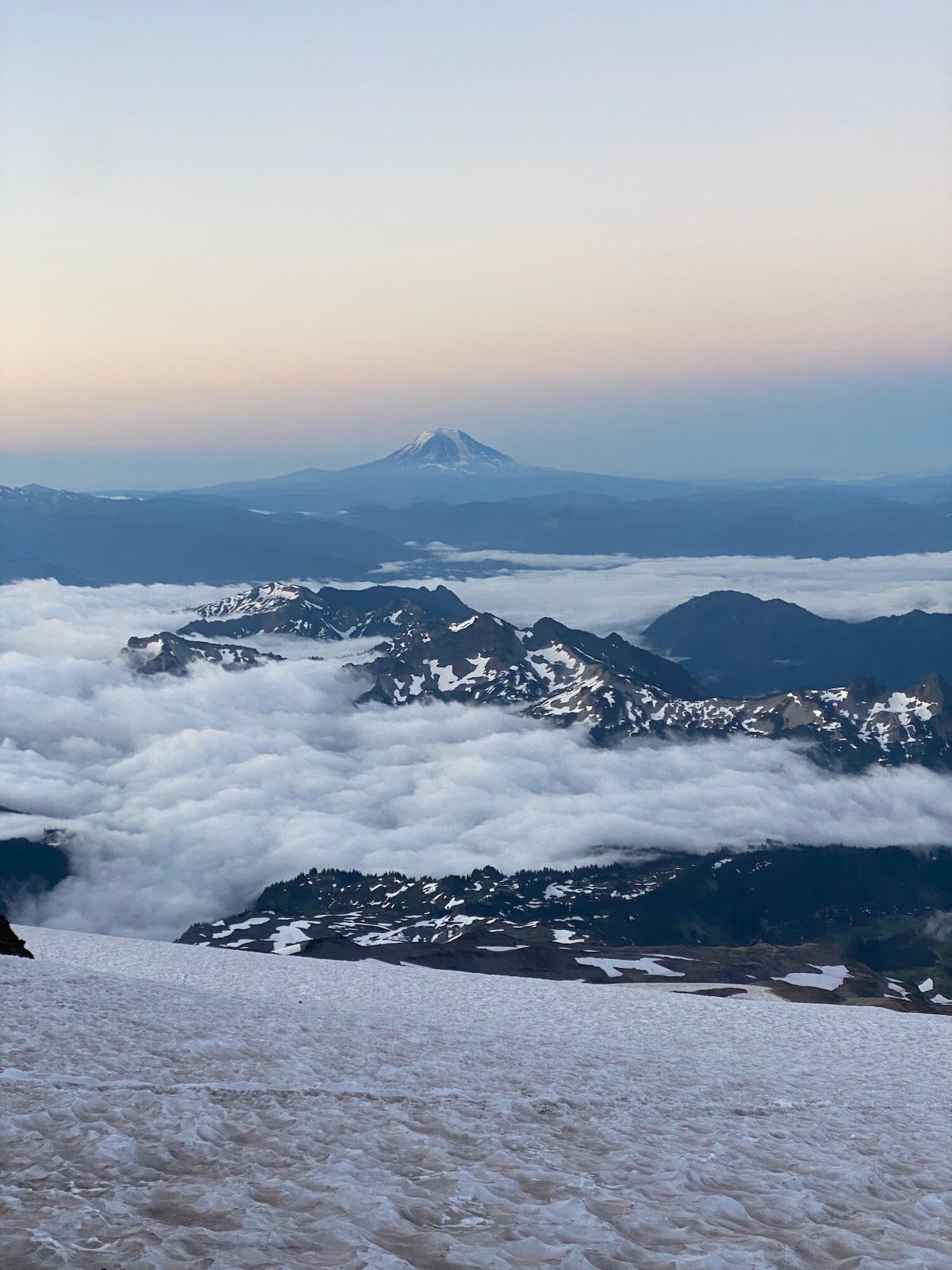
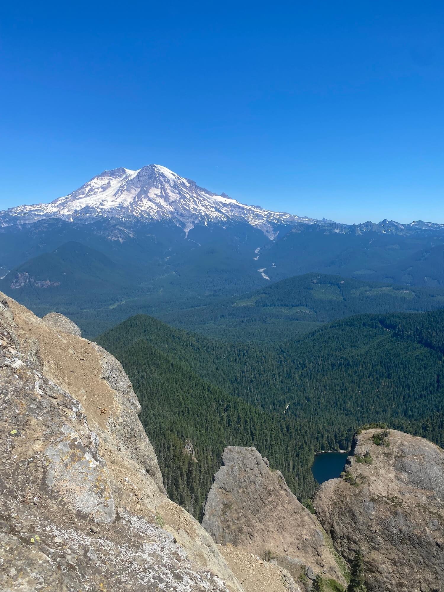
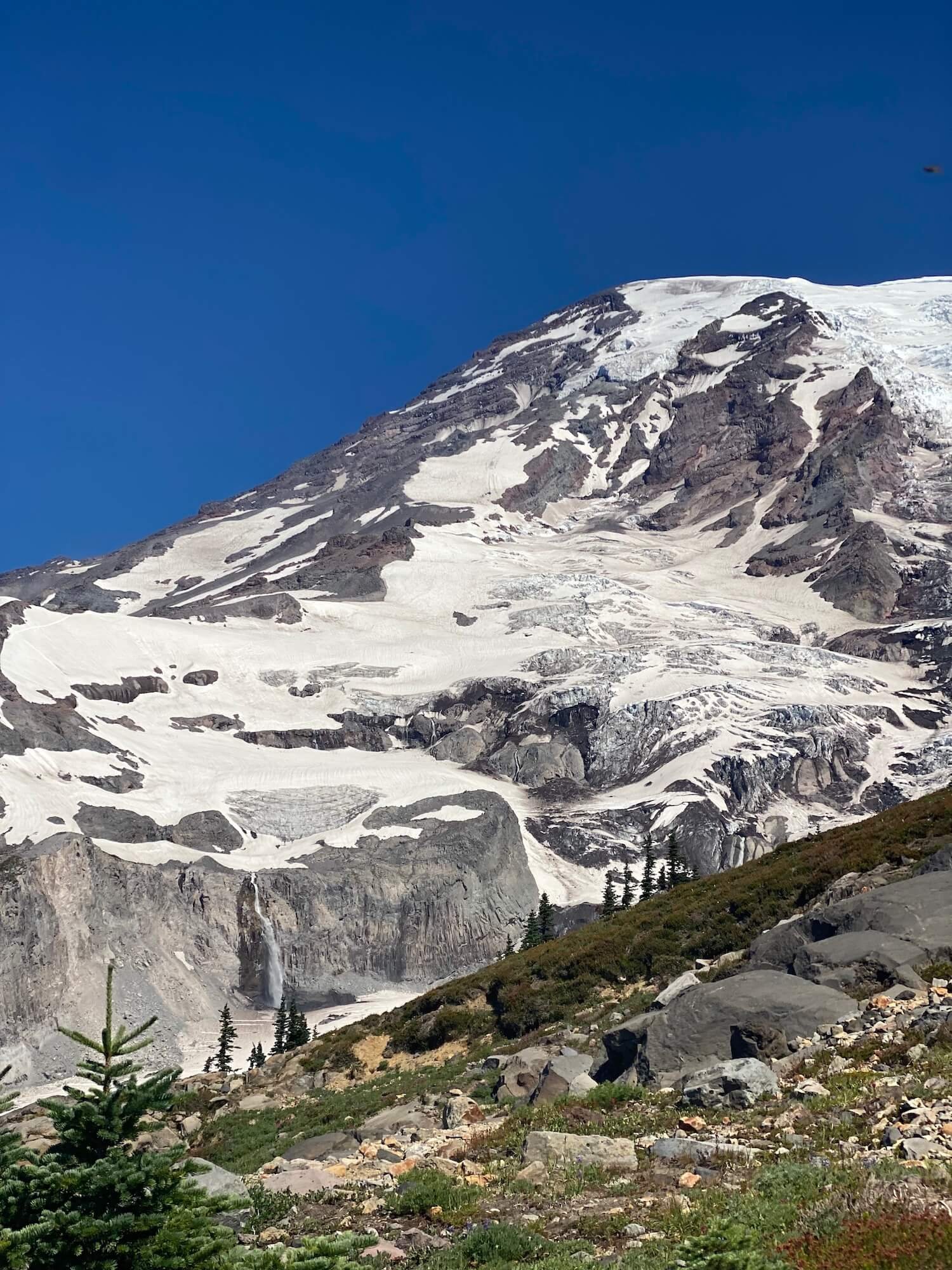
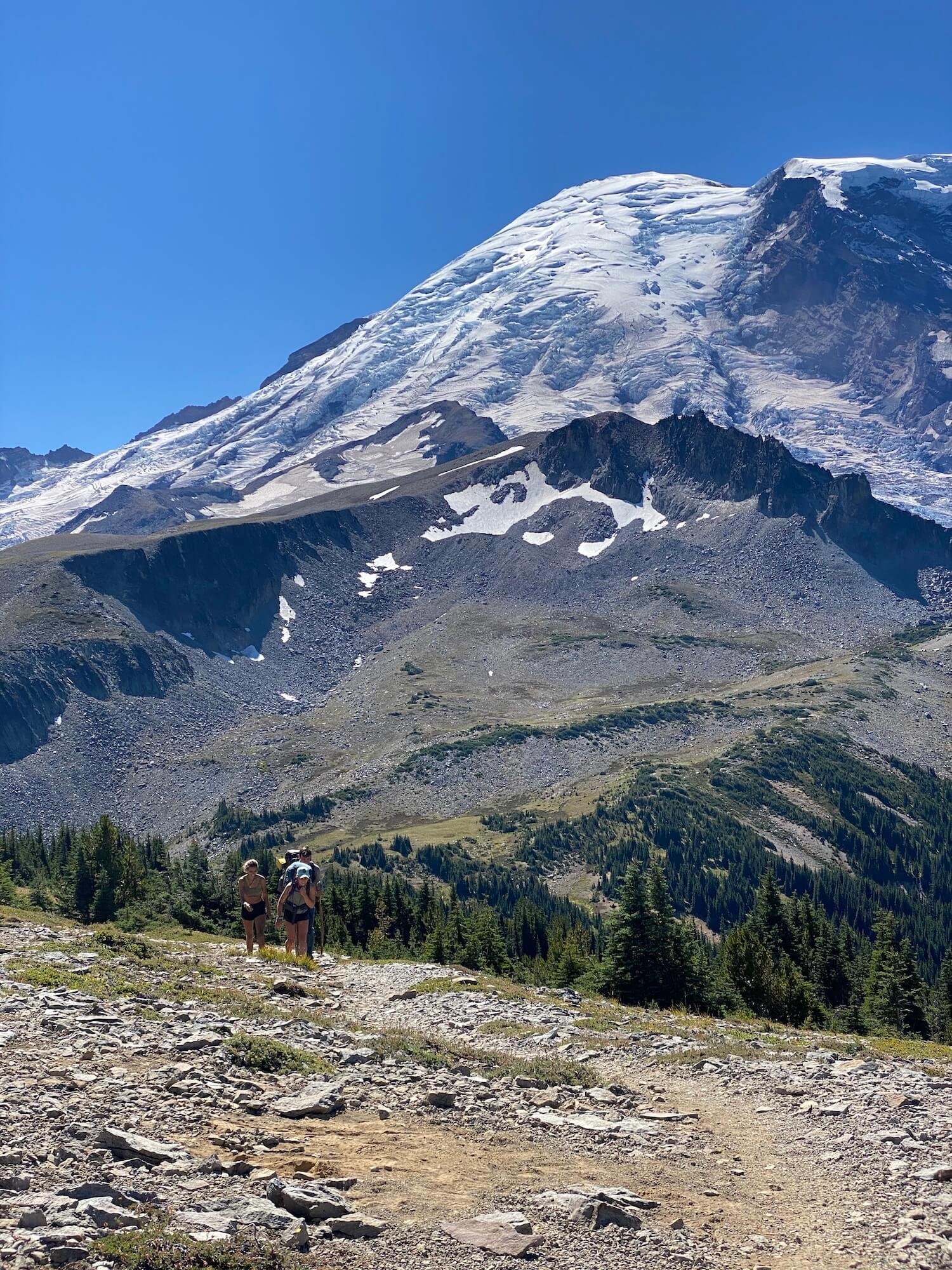
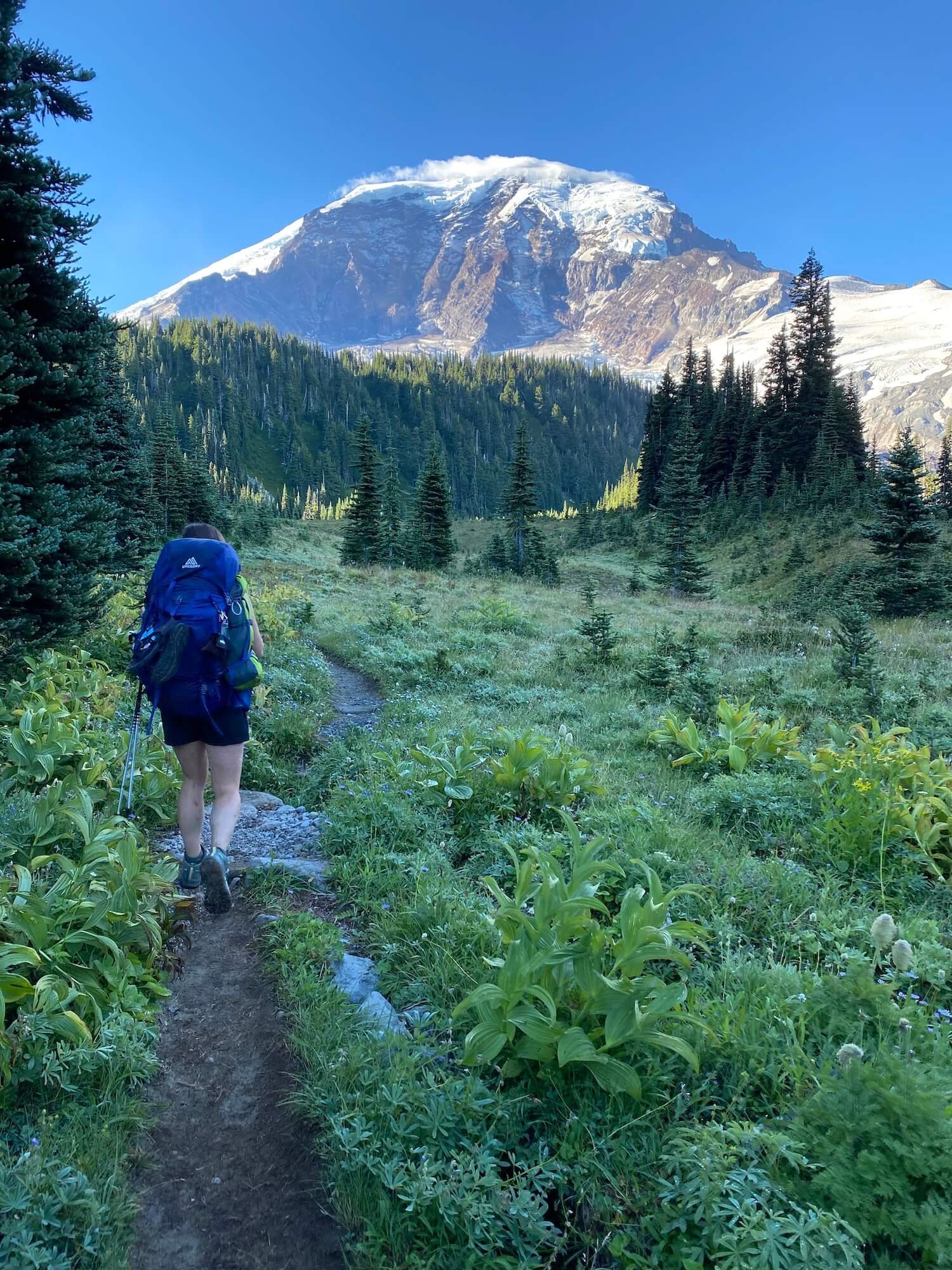
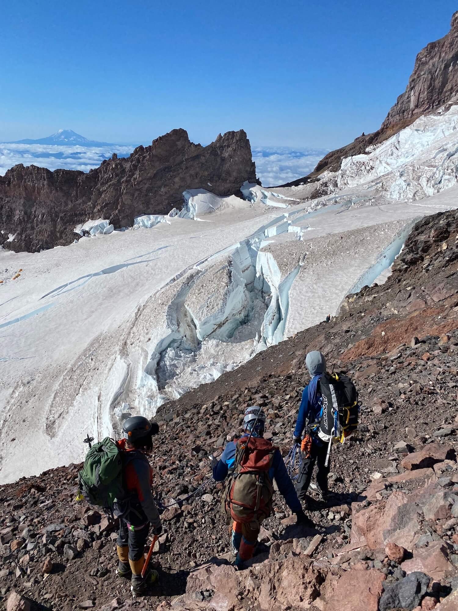
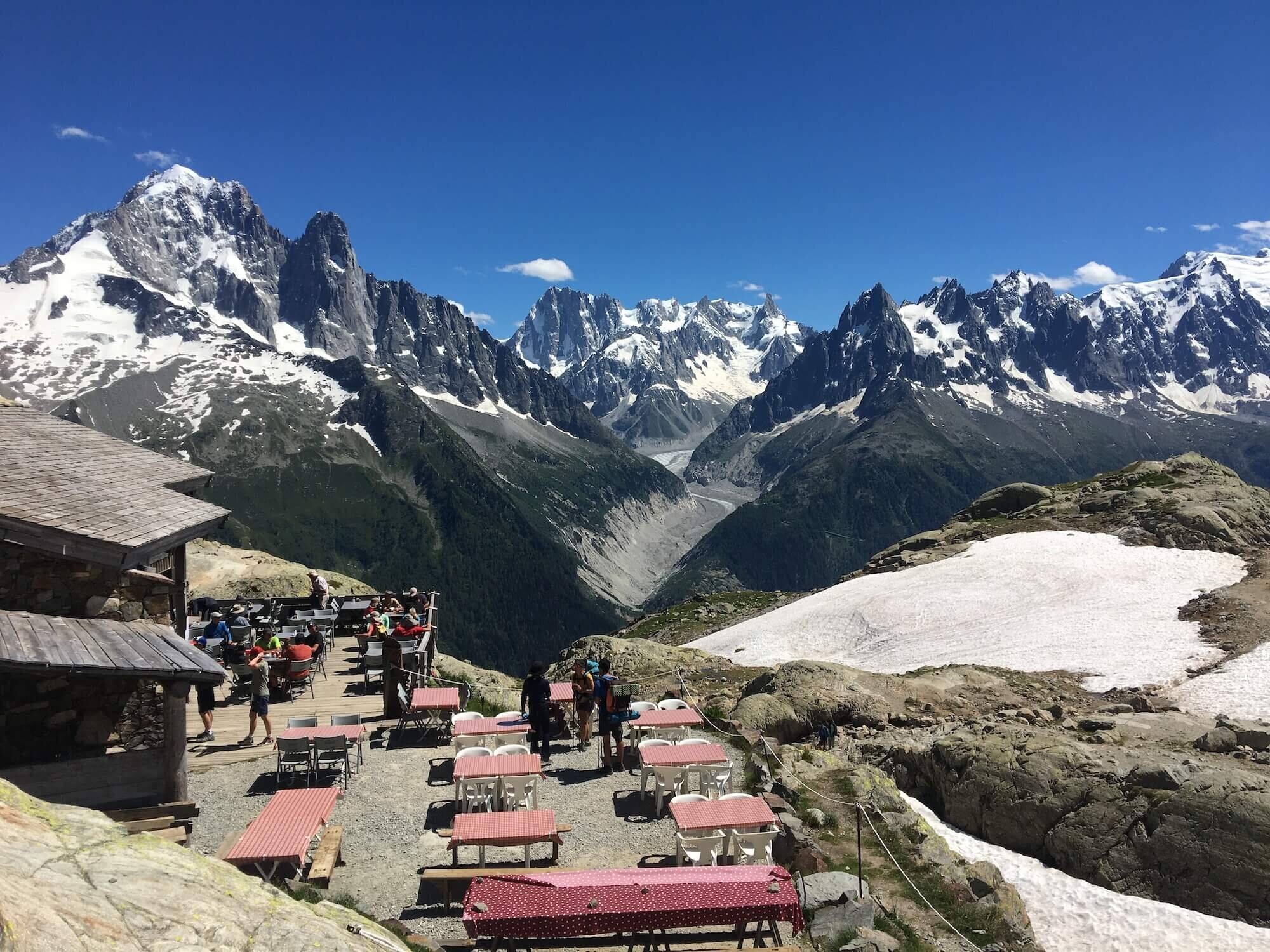
Sam is an everyday adventurer who resides in Washington State, USA. She has completed the Wonderland trail and summited the 5 tallest peaks in the lower 48 states, including Mt Rainier. Sam has hiked around the world with some of her notable trails being: the Tour Du Mont Blanc in the Alps, The Kepler and Routeburn tracks in New Zealand, the Salkantay Trek in Peru, the Mt Toubkal trek through the Atlas Mountains in Morocco, The Fisherman's trail in Portugal, and Trolltunga in Norway. Sam spends her days working as a Pediatric Nurse Practitioner and on the weekends she'll be hiking, camping, trail running, backpacking, or skiing around the Pacific Northwest.
Follow her adventures on instagram: @sgoldk
WHO ARE WE?
The Hiking Club empowers anyone to walk the way they want in the wild with personalised self-guided hiking experiences that are easy to find, quick to plan and simple to navigate.
We believe hiking experiences have the power to transform lives. With a growing range of personalised hikes that take into account your preferences, fitness and interests, we give you everything you need to explore the legendary trails of the world!