
The Hiking Club partners with Organic Maps to provide hikers with a navigation app designed for low-battery usage
Over the past 4 years, The Hiking Club has helped 2,000+ self-guided hikers plan, prepare and confidently navigate legendary trails in the Alps. During this time, we’ve received feedback from some hikers that they struggled to maintain enough mobile phone battery charge when navigating long days on the trail. We’ve experienced this challenge too, and have been searching for a GPS map app that had all the features you need for offline navigation in the Alps, without the heavy battery usage that comes with most apps.
We are happy to share we’ve found an app that ticks all the boxes in Organic Maps, and even happier to announce a new partnership with them to be our preferred navigation map app for 2023 hiking season!
Organic Maps is a free Android & iOS offline map app for GPS navigation.
It has all the features you expect from a high-calibre trail navigation app like working offline, showing your location, displaying all the trails in the area, contour lines, and calculating trail statistics between locations. However, unlike other navigation apps, it has been designed for low battery use, privacy (no sign-up/tracking) and is completely free with no ads. 🙌
The most impressive part is under the hood. They've come up with a way to highly compress Open Street Map data to store in the app for offline use, then efficiently decompress the data you need to draw and display the map on your screen with minimal battery use. With this type of innovation, it shouldn't surprise you that the founders behind Organic Maps have a track record of building successful map apps - MapsWithMe (Maps.Me) was the last app they created that is used by over 100 million people around the world today.
Earlier this month, I spoke with Alexander Borsuk, co-founder of Organic Maps, and learned more about their open-source app design and where the underlying map data comes from. What most people don't know is that a lot of paid navigation map apps run off an integration with Open Street Maps data which is a free source of geographic data that has been gathered and curated by a community of map enthusiasts rather than anything the paid apps have collected. It is like a book company selling an encyclopedia they copied straight from Wikipedia. Organic Maps makes no secret of this and believes that providing this data in their navigation app should be free. Pretty cool, hey!
On battery use, Alexander shared details about how their app only pings a satellite for your location when you are using the app, rather than all the time you have it open in the background. He also mentioned they have a power saving mode that disables 3D buildings rendering to save even more battery.
Although Organic Maps is designed for low battery use, it’s up to each hiker to switch their phones to offline/flight mode when using the app. For those unaware, the cellular network is not required to use the app; satellites are. Given hiking trails are usually in areas with low cellular network coverage, your phone will constantly be searching for a signal which drains a lot of battery. If you don't switch your phone to offline/flight mode, there is nothing Organic Maps or any navigation app can do to stop this drain.
We started trialing Organic Maps during the 2022 hiking season, and our customers raved about it with no reported battery issues. Although Organic Maps is free for every customer of The Hiking Club that uses this app, we're making an annual donation to support the project. Having a high-quality and reliable GPS navigation map partner like Organic Maps allows us to continue focusing on making personalised hiking itineraries easy to create and book rather than trying to figure out how to build our own navigation app. If you start using Organic Maps as your go-to GPS navigation app for hiking, we'd encourage you to donate too.
For information on how to use Organic Maps as The Hiking Club customer, read this article.
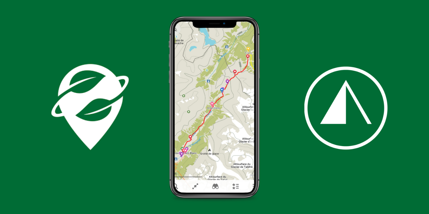
For those unfamiliar with our GPS map product, we provide a personalised GPS file that is loaded with your route along with hiking statistics for each section and day of your itinerary, including distance, elevation gain, and loss, and estimated hiking time (based on your specific speed).
Coloured markers highlight points of interest along the trail including toilets, water refill, food/supermarkets, and laundry locations. The Hiking Club also provides transport information, including schedules, cost, and duration, for you to reroute your plan if you need to skip ahead on the trail.


Author: Brendan Jones, The Hiking Club
Brendan is a pizza-making, craft beer-loving, peanut butter connoisseur that has been exploring the great outdoors since completing the Duke of Edinburgh Award in high school. He started The Hiking Club to democratise hiking and the benefits that come from spending time in nature.