
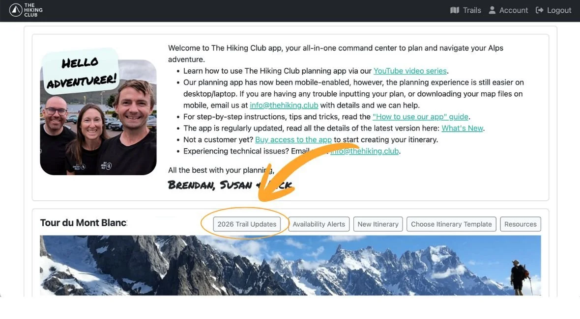
NEW: 2026 TRAIL UPDATES MAP
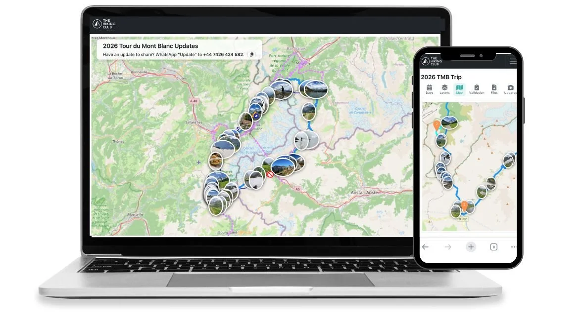
Today, we’re launching the first version of our 2026 Trail Updates Map — a new way to explore the latest trail conditions, closures and mountain updates directly on the trail map inside The Hiking Club platform.
For years, hikers have relied on scattered social media posts, group chats and outdated forum threads to understand what conditions are really like on the trail. The problem? Those updates rarely include context. A beautiful photo of snow coverage or a washed-out bridge only helps if you know exactly where it was taken — and when.
The 2026 Trail Updates Map changes that.
Instead of endlessly scrolling through feeds hoping to find relevant information, you can now see real-time trail updates directly on the map itself.
Best of all, the 2026 Trail Updates Map is completely free to access inside The Hiking Club platform. Simply create a free account to start exploring the latest trail photos, closures and mountain updates across the network.
See the latest 2026 trail conditions by TRAIL
The 2026 Trail Updates Map brings together the latest trail photos, route and transport closures into a single map-based experience, helping you understand what’s happening across the trail network before you head out this season.
With the 2026 Trail Updates Map, you will be able to:
Explore the latest uploaded trail photos directly on the map
Search updates by specific locations such as mountain passes or sections at higher elevation
View trail closures and warnings in context
See transport disruptions including gondola and chairlift closures
Scroll back through previous uploads to understand how conditions change throughout the 2026 season
Share important updates and images with fellow hikers
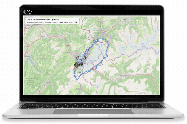
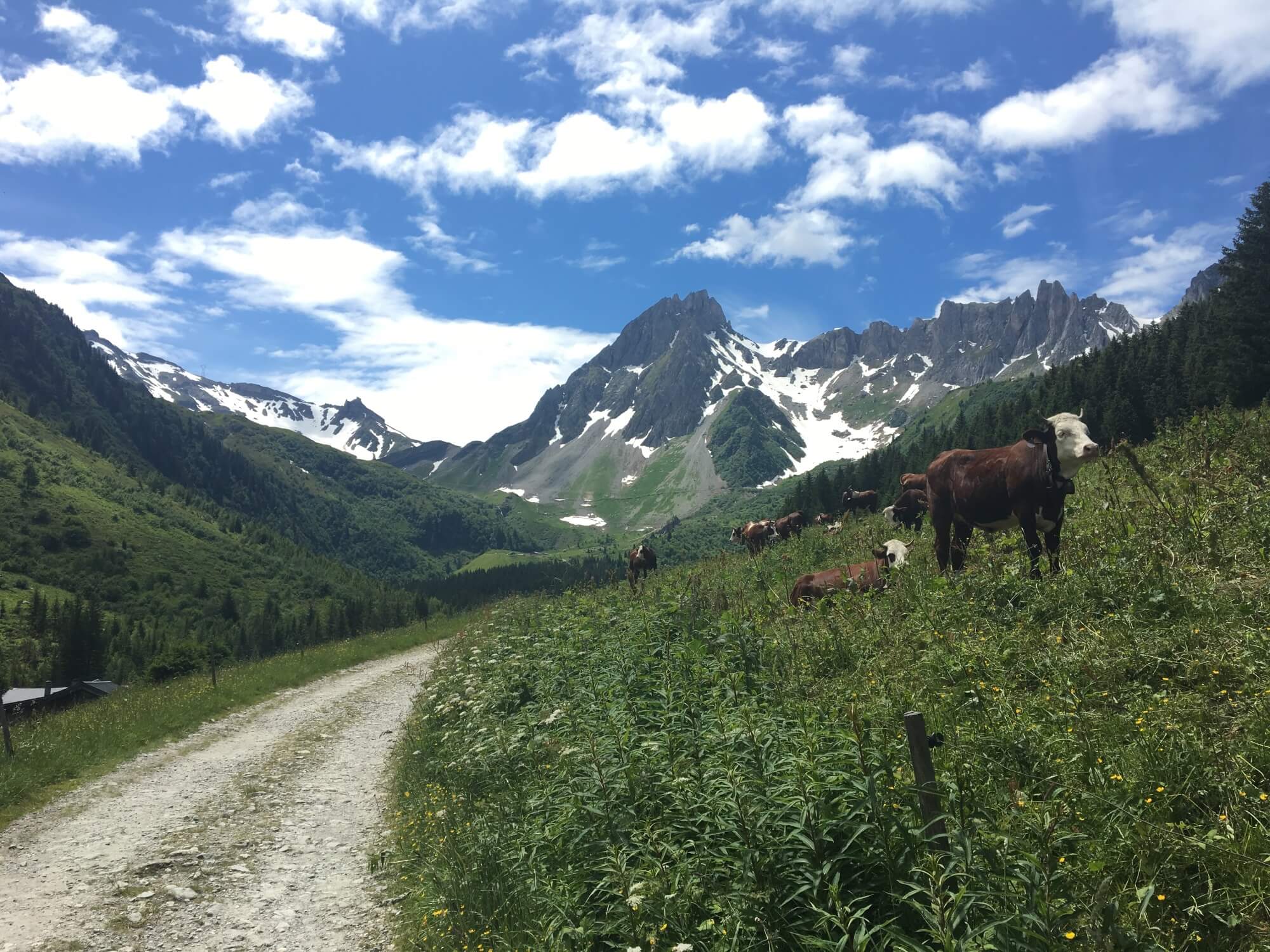
First updates loaded onto the 2026 Trail Updates map on May 29th, 2026 from the Tour du Mont Blanc.
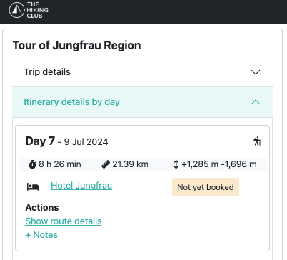
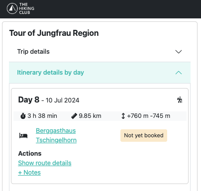
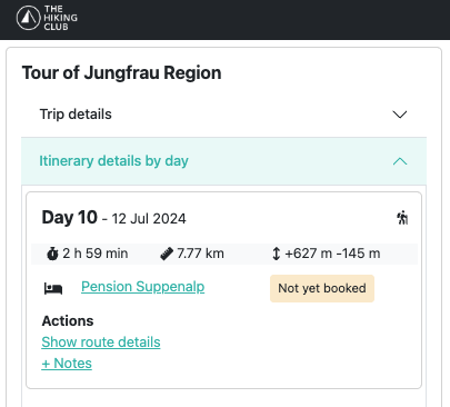
VIEW Trail Updates on your planned itinerary
For paid customers of The Hiking Club, our new Trail Updates feature becomes even more powerful.
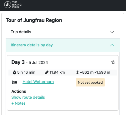
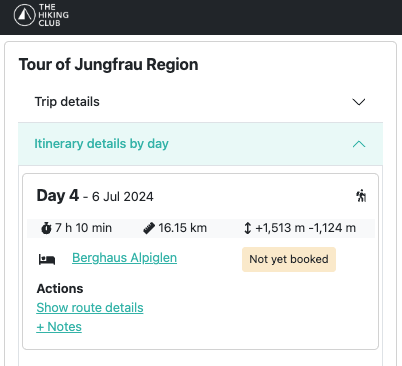
Instead of viewing updates only on the general trail map, paid members can see trail conditions, photos, closures and transport alerts directly alongside their planned itinerary route. This makes it easier to understand exactly what’s happening on the sections you’ll be hiking in the days ahead — latest snow conditions on a mountain pass, a trail detour, or a gondola closure affecting your planned route.
By combining live trail updates with your personalised itinerary, The Hiking Club helps you stay informed and make smarter decisions before and during your hike.
Powered by The Hiking Community
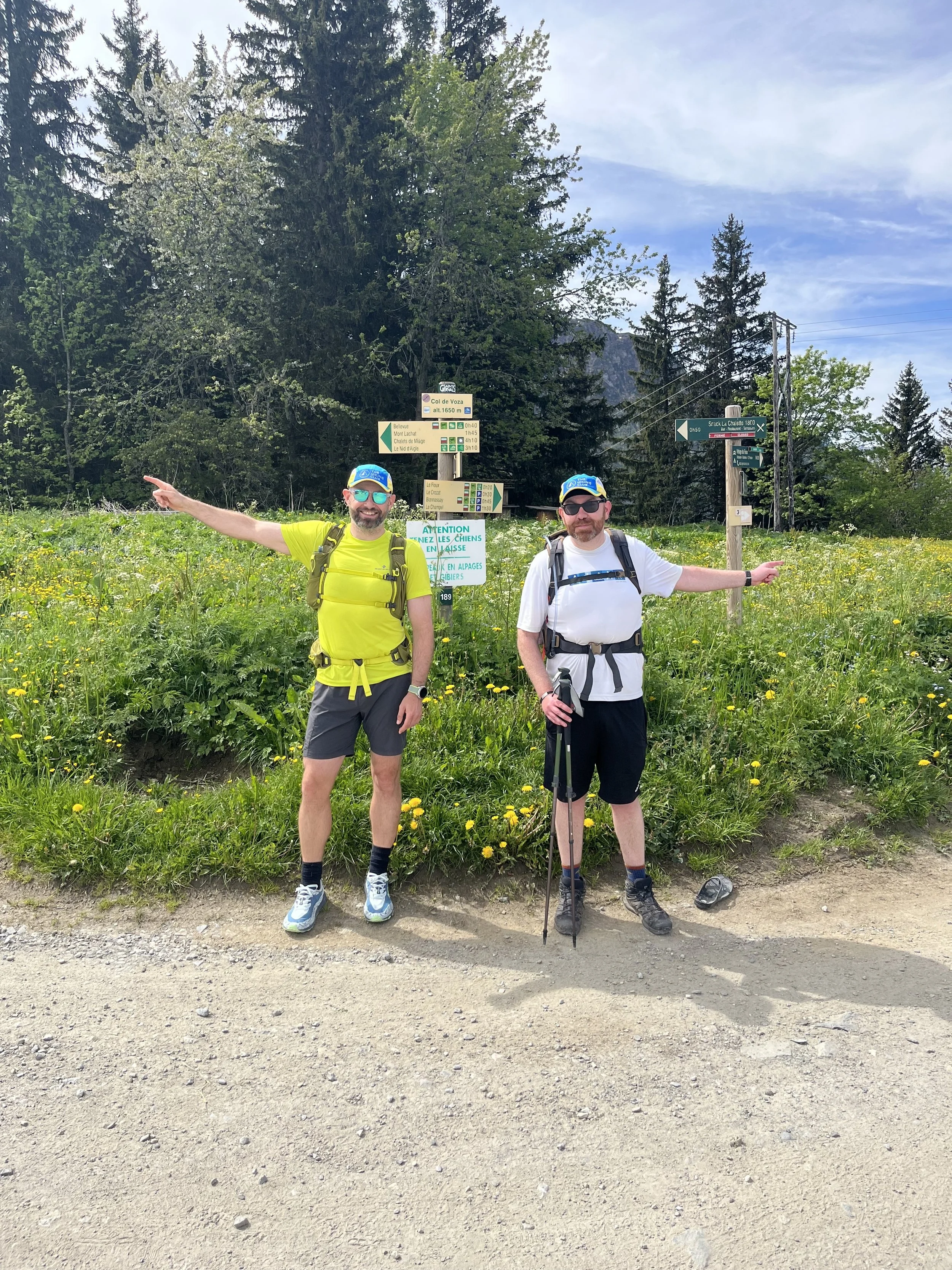
The 2026 Trail Updates Map is powered by people on the ground — the hikers out there walking them every day.
Each June, The Hiking Club team heads to the Alps for our annual “Break The Trail” hikes, capturing the first comprehensive overview of trail updates, snow conditions and route information.
We then pass the baton to our incredible community of Trail Ambassadors, who will continue sharing daily trail photos, trip reports and insights from the trail. Their updates help hikers embarking after them feel safer, more informed and a clearer picture of what’s happening across the mountains.
We hope that the 2026 Trail Updates Map becomes a community-powered view of the hiking season as it unfolds.
Want to help fellow hikers this season? We’re always looking for passionate hikers to join our ambassador community and contribute trail updates from across the network. Learn more here.

Our Trail Ambassadors kick off their trail updates on June 1st and continue through to the end of September.
Built for hikers — and improving throughout the season
The 2026 Trail Updates Map is launching as an evolving feature for the 2026 hiking season, and we’ll continue improving it as more hikers begin using it on the trail.
Feedback from our community will play a huge role in shaping what comes next.
If you spot something that could be improved, have ideas for new features, or want to tell us what’s working well, we’d love to hear from you. The goal of the Trail Updates Map is simple: make trail information more useful, more accessible and more reliable for everyone heading into the mountains. Contact us at: info@thehiking.club to share your feedback.
Access the 2026 Trail Updates Map
The 2026 Trail Updates Map is available free inside The Hiking Club platform.
Dedicated 2026 Trail Updates Maps will be available for:
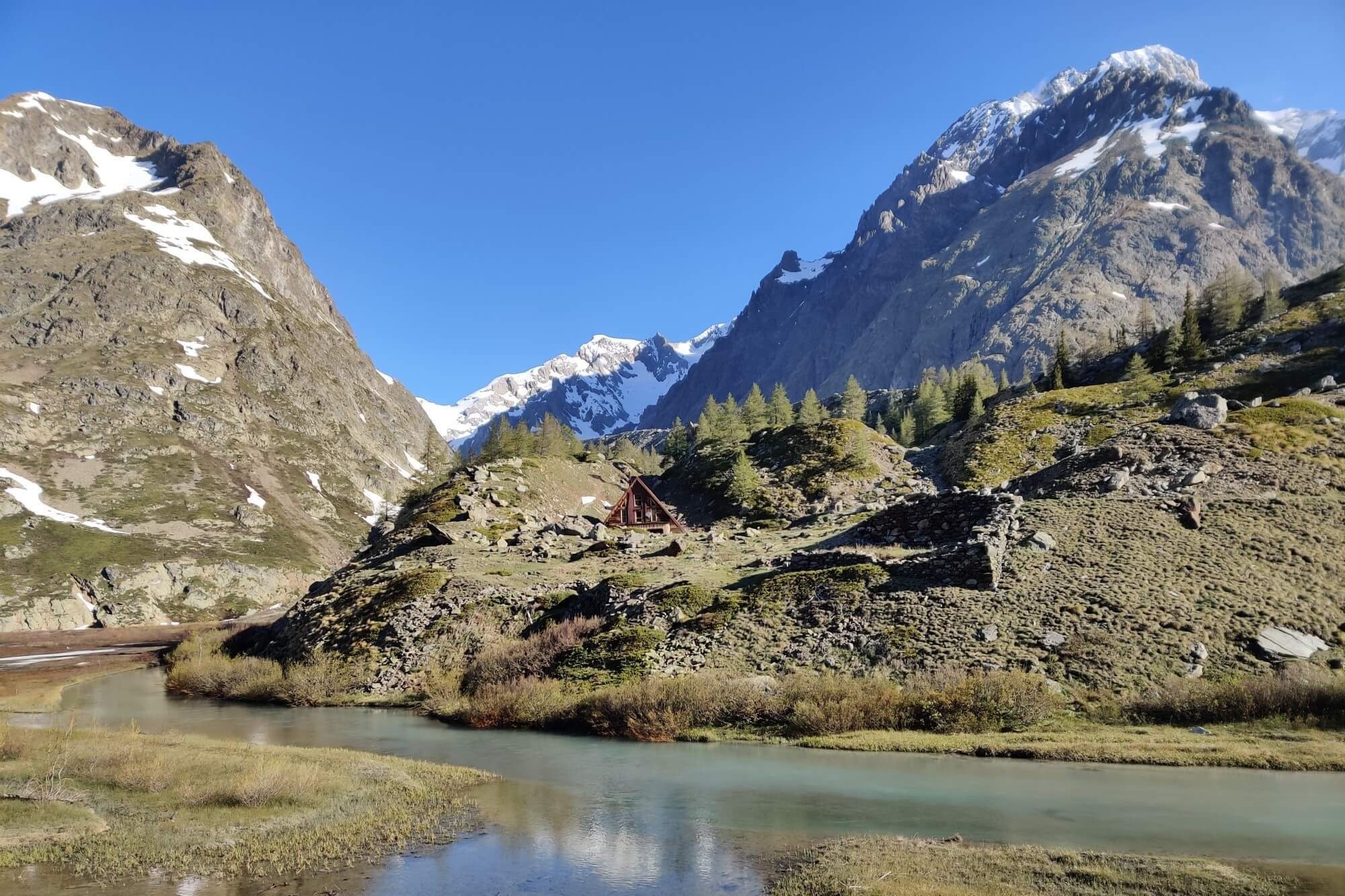
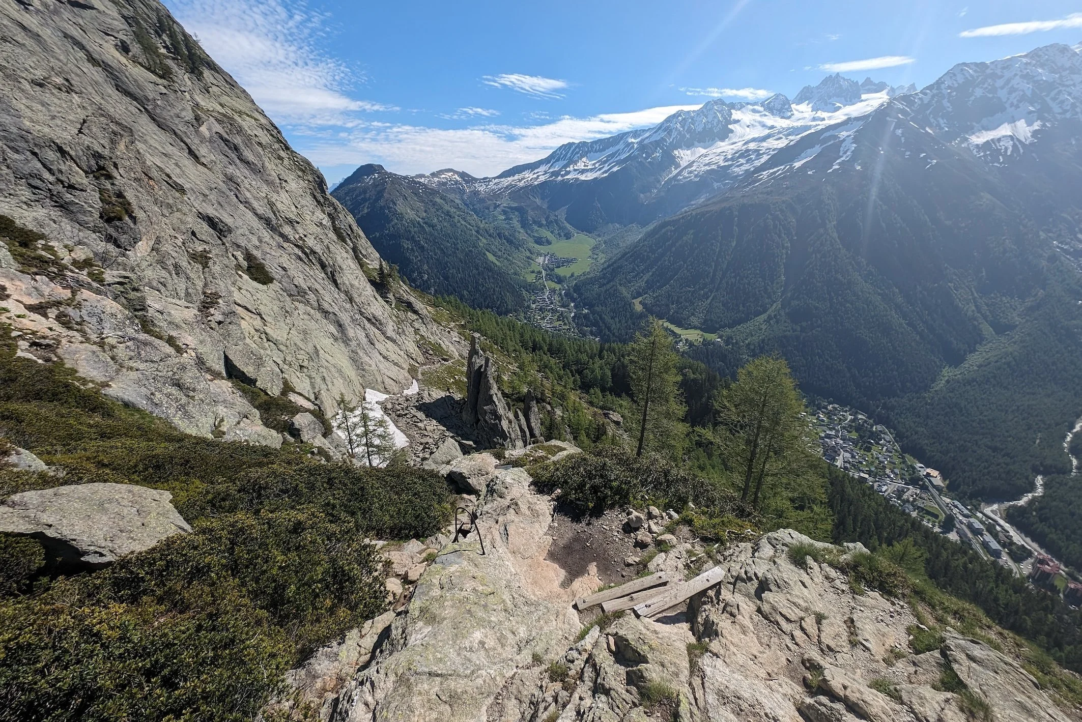
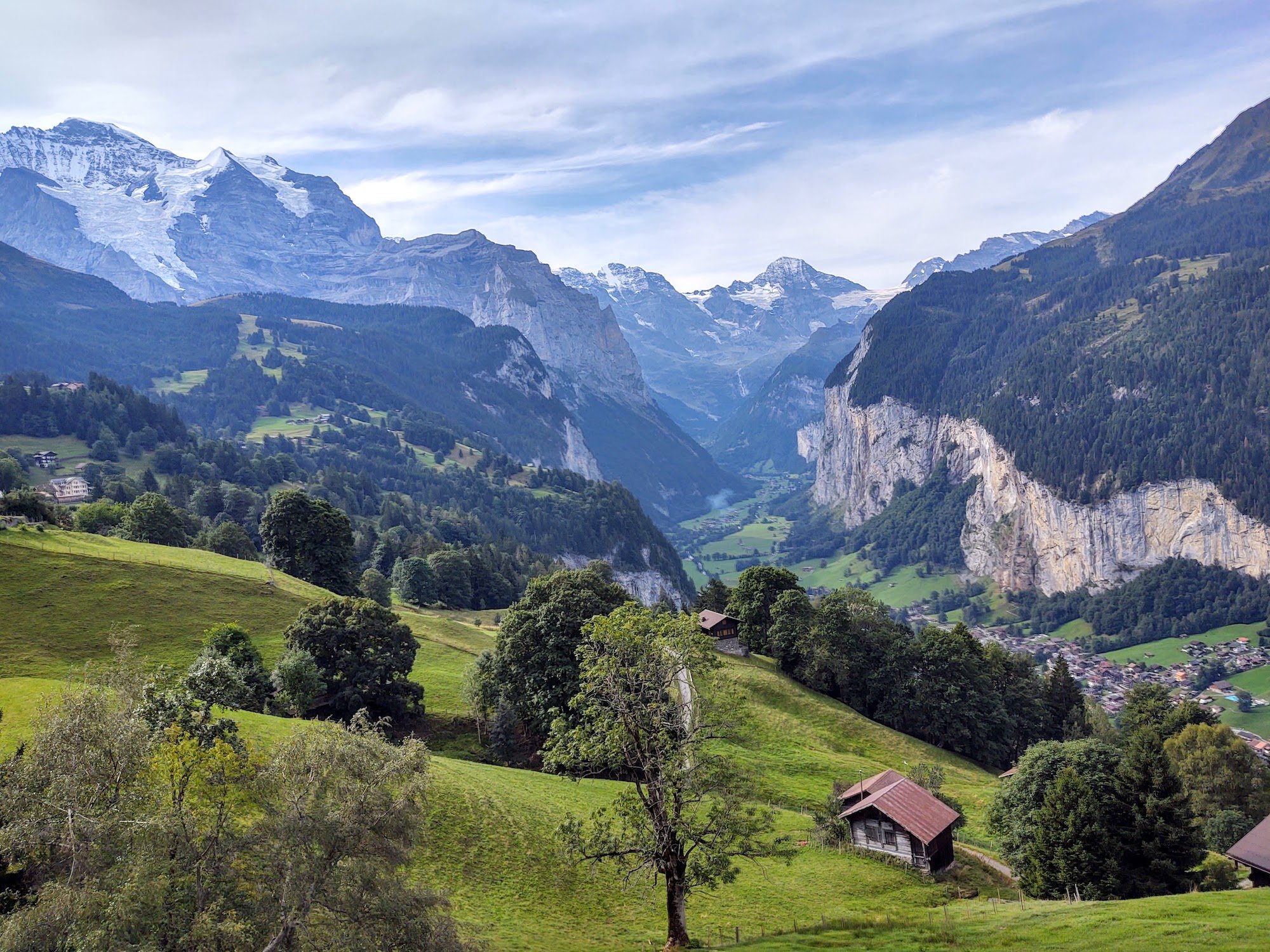
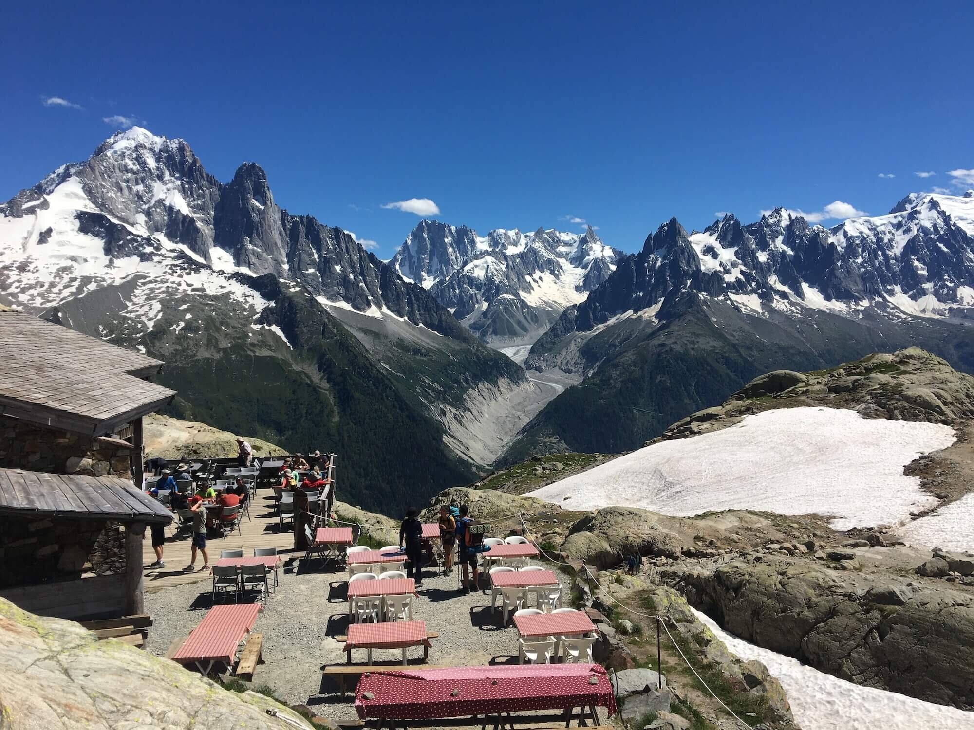
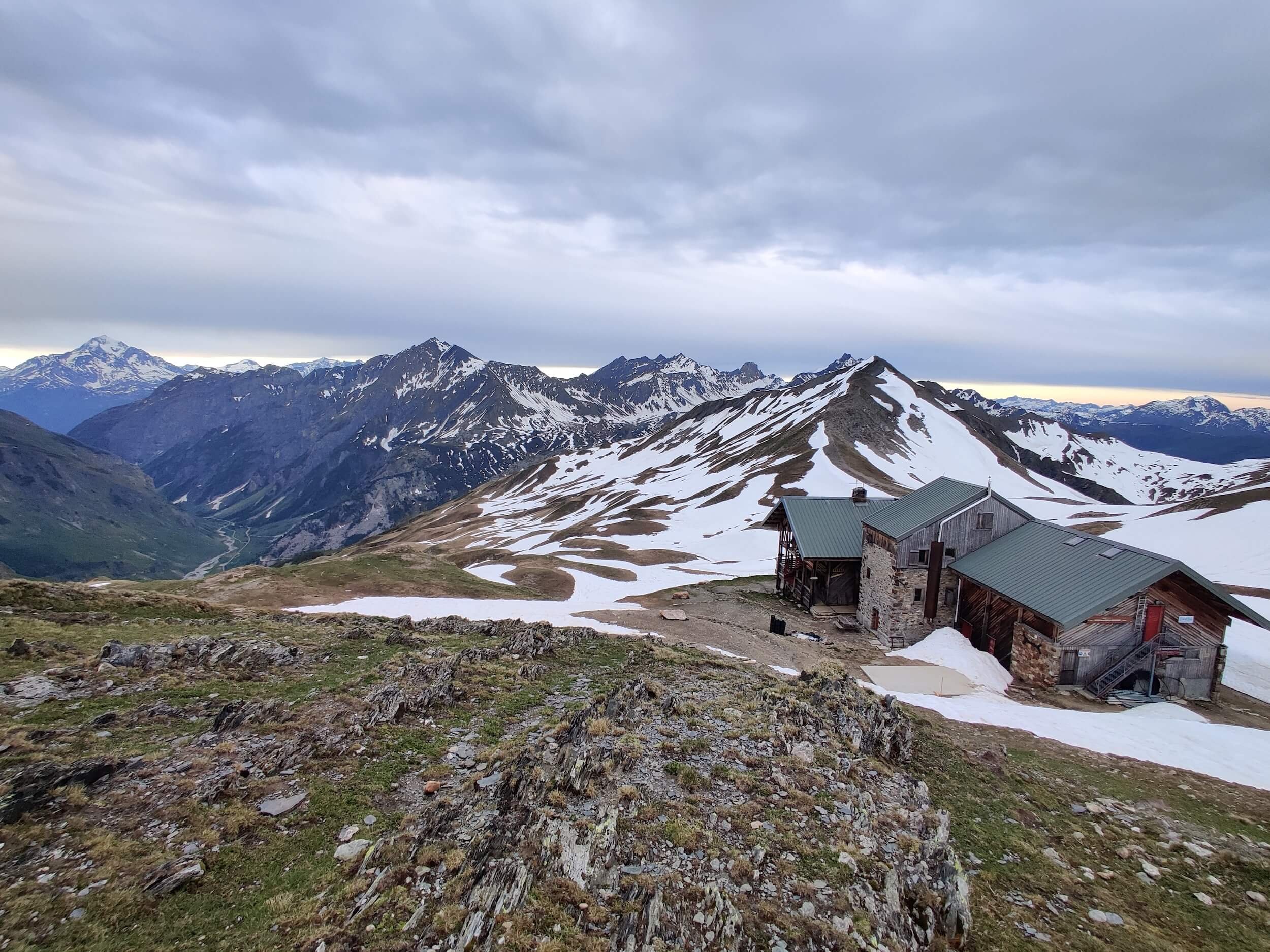
Tour du Mont Blanc
Walker’s Haute Route
Tour of Monte Rosa
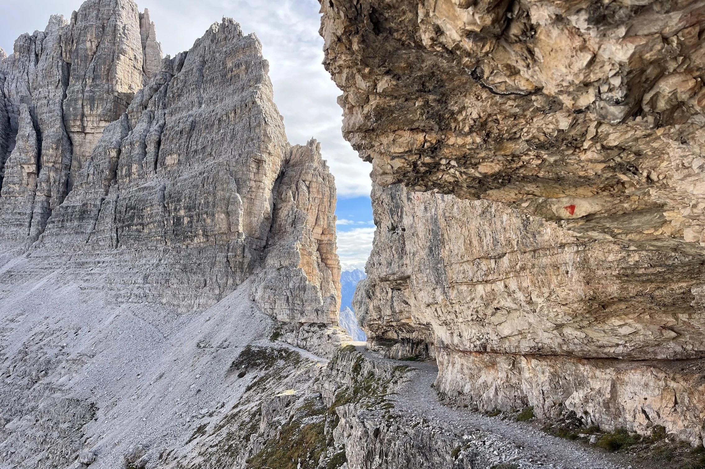
Alta Via 1 Dolomites
Alta Via 2 Dolomites
Bernese Oberland
Tour des Combins
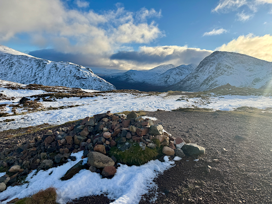
West Highland Way
Don’t yet have an account? Create your free account to explore the latest trail conditions, community updates, transport closures and “live from the trail” photos throughout the 2026 hiking season.
Create a free account at www.app.thehiking.club to view the 2026 Trail Updates map.