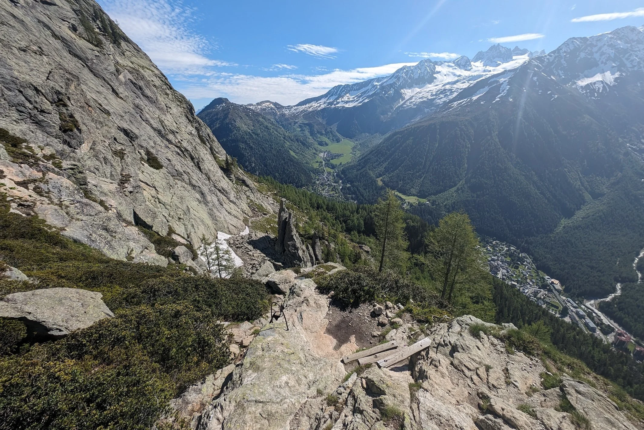
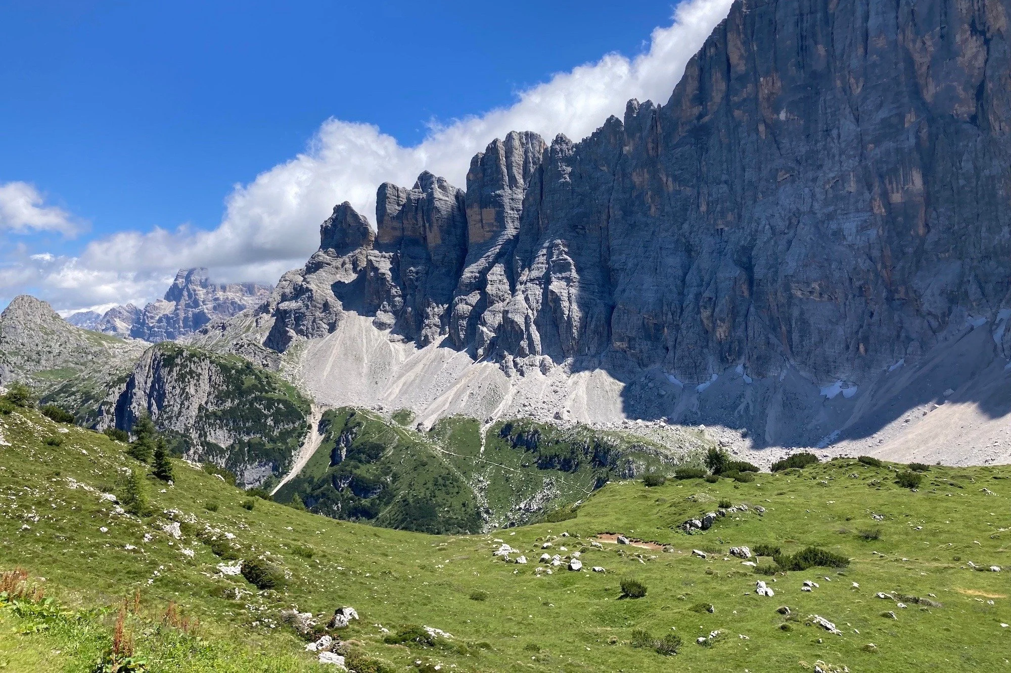
Wondering how difficult Alta Via 4 is? Learn about the hardest sections, via ferrata requirements, exposure, fitness level and how to choose easier non-ferrata variants on this challenging Dolomites hut-to-hut trek.
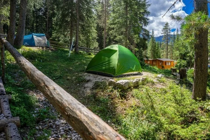
So you’re interested in hiking the Haute Route from Chamonix to Zermatt but want to camp, instead of staying huts, hotels or B&Bs each night? Great choice! Although the idea of spending each night under the stars is an idyllic option, you need to be aware of where you can actually camp along the Haute Route, as there are very strict rules put in place by the National Parks and local governments.
Over the past few years, we’ve gathered the latest information on where you can wild camp, campgrounds with facilities and mountain huts that allow you to camp nearby. About 20% of our customers use our platform to plan and navigate their camping adventure along the Haute Route. Read on to learn about the various camping options, the cost estimates for camping and other useful tips to help you prepare for camping the Walker’s Haute Route.
How much it costs to hike the Walker’s Haute Route is one of the most common questions I’m asked. Armed with my accounting background and mission to make every hikers self-guided dreams come true, I’ve dug deep into the numbers across all the different accommodation types, food and services available to provide firm guidance on what it costs to hike the Walker’s Haute Route.
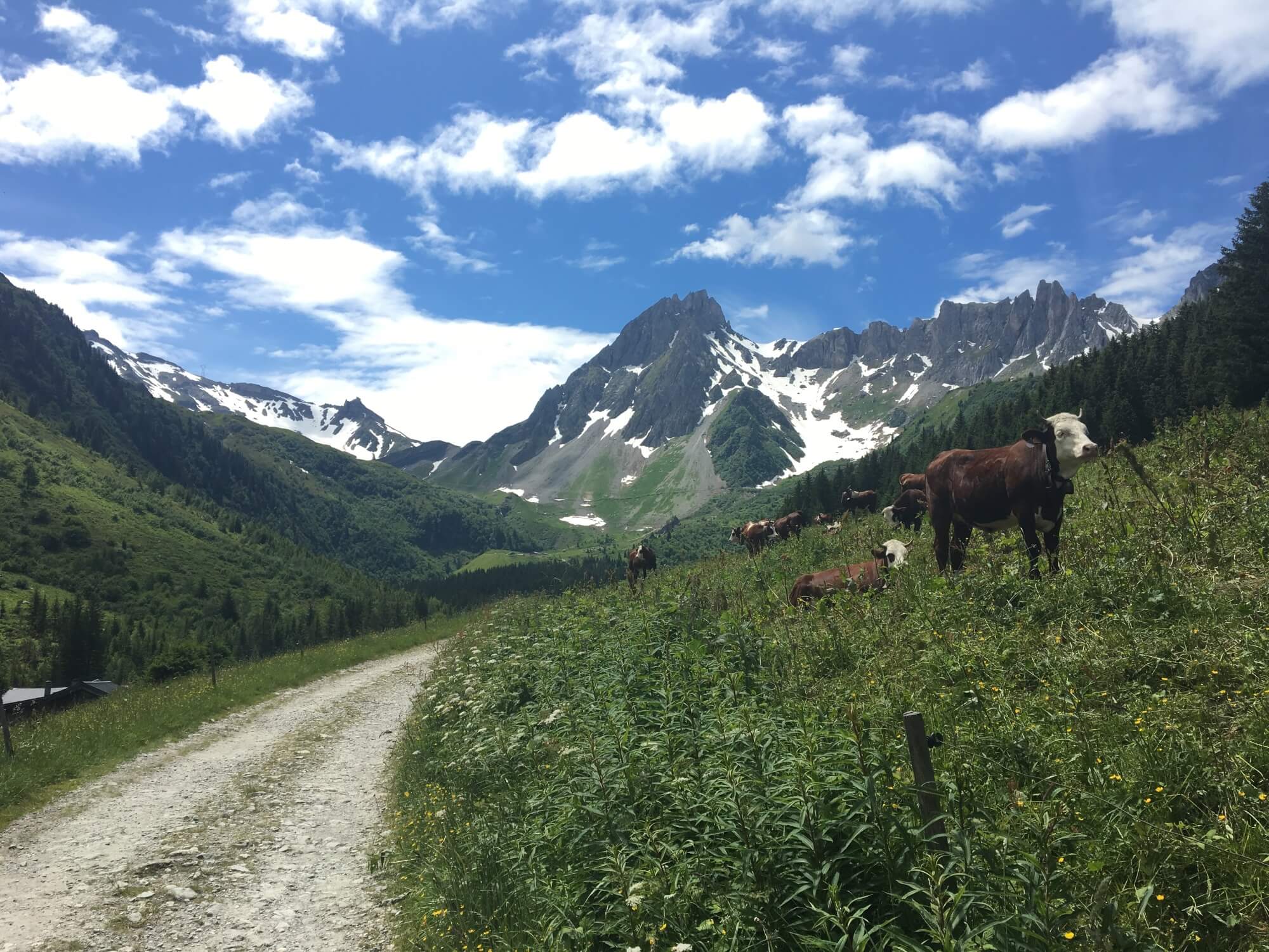
The Bear Trek is located in the Bernese Oberland, Switzerland and is part of the Via Alpina 1 hike that includes 20 stages from Lichtenstein and continues to Montreux, Switzerland. Read Cindy and Bob’s trip report documenting stages 10 - 15 from Meiringen to Lenk, Switzerland. Spoiler: No bears were seen on this hike!
It costs €826 to plan your own 10-day hike of the Tour du Mont Blanc. This amount comes from our new cost calculator for the Tour du Mont Blanc, which uses over 300 actual customer itineraries and 2023 costs from nearly 100 accommodation and service providers along the trail.
the calculator is for self-guided hikers to estimate how much it will cost them to organise their own hike of the Tour du Mont Blanc based on their preferences. Give it a try!
While many of the wonderful Tour du Mont Blanc refuges will feature on your ideal self-guided hiking itinerary, what do you do if they have no availability when you go to book your own trip? In this blog post, I’m going to share accommodation booking tips and my top 4 booking tricks for finding accommodation that will keep your trip alive.
So you’re interested in hiking the Haute Route from Chamonix to Zermatt but want to camp, instead of staying huts, hotels or B&Bs each night? Great choice! Although the idea of spending each night under the stars is an idyllic option, you need to be aware of where you can actually camp along the Haute Route, as there are very strict rules put in place by the National Parks and local governments.
Over the past few years, we’ve gathered the latest information on where you can wild camp, campgrounds with facilities and mountain huts that allow you to camp nearby. About 20% of our customers use our platform to plan and navigate their camping adventure along the Haute Route. Read on to learn about the various camping options, the cost estimates for camping and other useful tips to help you prepare for camping the Walker’s Haute Route.
Updated for the 2026 season.
Have you started planning your Alta Via 1 Dolomites hike in the usual 11 stages and finding fully booked locations for the dates you want?
You’re not alone!
Accommodation booking anxiety is experienced by most self-guided hikers that book their own accommodation…and a popular conversation topic on the trail :)
When accommodation availability becomes scarce, this 6-day itinerary can keep your Alta Via 1 dreams alive! Staying at villages and using transport provides you a much needed bed and allows you to hike 100km / 62mi along the Alta Via 1 route. You can opt to use just one, a few or all days to make your hike happen.

Average daily stats:
Distance: 17km / 11mi
Elevation gain: 950m / 3,100ft
Time (steady pace): 6 hours, not including breaks
Accommodation: Staying in villages that have the most accommodation options
This 6-day itinerary for the Alta Via 1 Dolomites gets around all of the Northern locations that are typically booked out…without needing to do any camping!
The Hiking Club has always championed self-guided hikers who want to stay in control of their itinerary and costs, by planning and booking their own trips. We have over 7 years of experience creating itineraries that are available to book at any time of the year. Our trip planning app is the 3rd generation of our self-planning product that gives hikers the power to easily create an achievable, inspiring, and available-to-book itinerary in one session.
If you want some assistance in designing an itinerary that is ready for you to book based on your specific dates and requirements, we can do this via our Expert Access package.

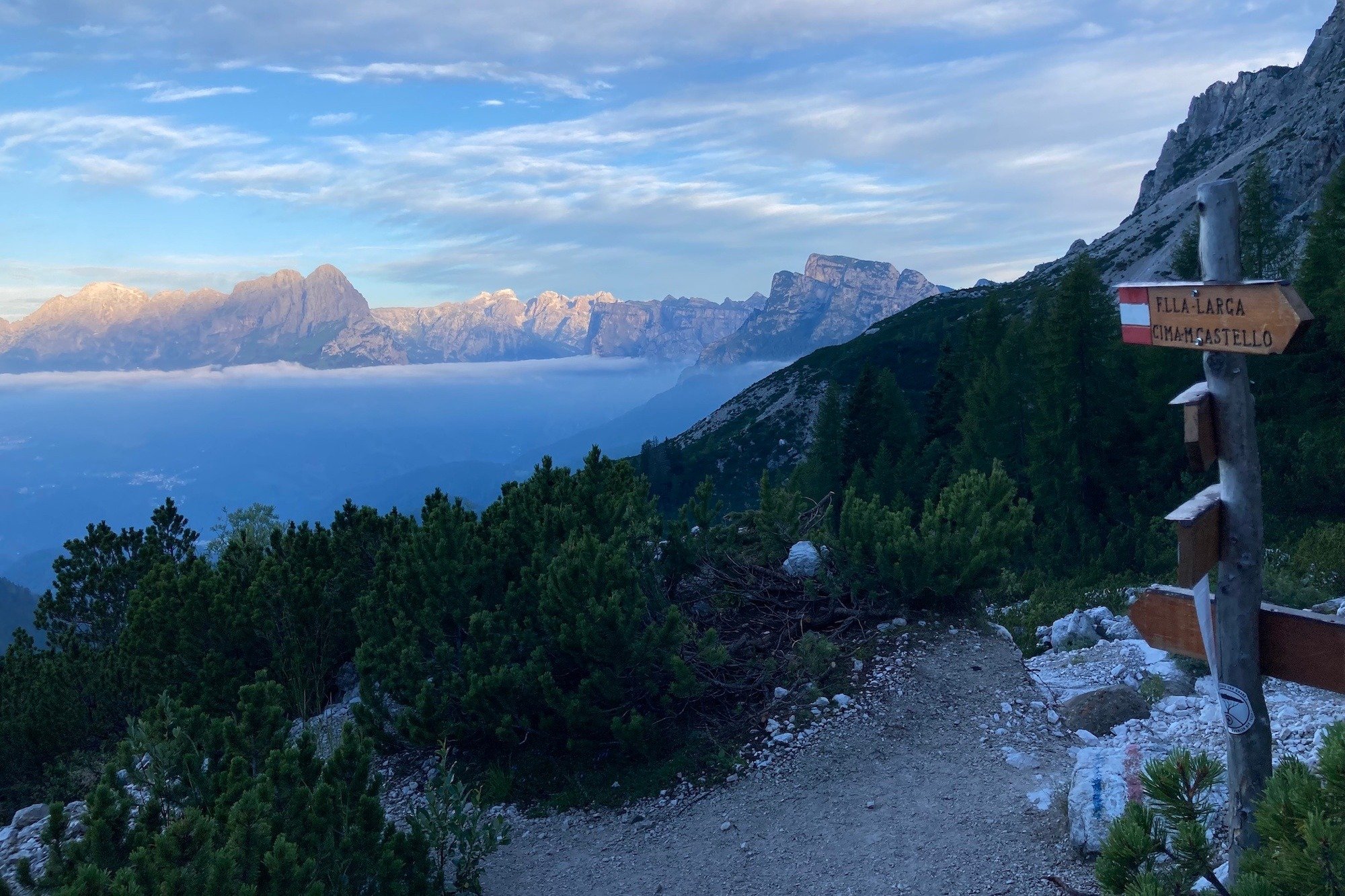
day 1: lago di braies to san vigilio
The first stage travels through the Fanes, Sennes, Braies Natural Park, with 4 rifugios to choose from (Biella, Sennes, Fodara Vedla and Pederu). Once these are booked up, hikers have three options to overcome fully booked locations here:
Set cancelled bed alerts at Rifugio Biella, Rifugio Fodara Vedla and Rifugio Pederu.
Continue hiking into Fanes section of Natural Park (Total 22km / 14mi) to reach 3 more accommodation options (Ucia dles Muntagnoles, Fanes, Lavarella)
Catch the bus to stay in San Vigilio for the night. It takes 20 minutes and has 20+ hotels, b&bs, holiday rentals and campgrounds for hikers to choose from. In the morning, catch the same bus back to the trailhead to continue your hike.
Click to expand. The trip planning app is included in all self-guided packages.

day 2: san vigilio to san cassiano
One of the most popular rifugios on the AV1 is Rifugio Lagazuoi. It (and surrounding rifugios) often book out quickly for peak dates and therefore forces hikers to either hike a longer day to find accommodation or use public transport to reach a nearby village.
For those that can’t find accommodation along the trail at popular rifugios (including Lagazuoi, Scotoni, Valparola, Col Gallina), the best option is:
Set cancelled bed alerts at Rifugio Lagazuoi, Rifugio Scotoni and Rifugio Col Gallina
Catch the bus from either Sciare or Passo Falzarego to San Cassiano for the night. There are 15+ hotels, b&bs and holiday rentals to choose from. In the morning, catch the same bus back to the trailhead to continue your hike.
Click to expand. The trip planning app is included in all self-guided packages.

day 3: san cassiano to cortina
There are 6 rifugios in and around the Cinque Torri and Nuvolau area [Cinque Torri, Scoiattoli, Averau, Nuvolau, Fedare and Berghotel Passo Giau]. If these are all booked out on your dates, it is too far to continue on to Citta di Fiume, the next rifugio along the trail.
Therefore, the best options are:
Set cancelled bed alerts at Rifugio Scoiattoli, Rifugio Averau
Consider whether Rifugio Dibona, Rifugio Col Gallina, Rifugio Croda da Lago, Rifugio Malga Fedare are suitable alternatives for your itinerary
Finish your hike at Cianzope bus stop and catch the 20 minute bus into Cortina, where there is lots of accommodation to choose from.
Finish you hike at Cianzope bus stop and catch 2 buses to San Cassiano, if you plan to stay there the previous night. Therefore you can hike today with just a daypack (luxury!).
Click to expand. The trip planning app is included in all self-guided packages.

day 4: cortina to pescul
If you are unable to secure accommodation at Rifugio Citta di Fiume, Aquileia or Passo Staulanza, your options are:
Continue hiking to Rifugio Palafavera (Total 27km / 17mi)
Set cancelled bed alerts for Rifugio Staulanza
Finish your day by taking an alternative trail to Pescul, a small town with 10+ hotel, b&b and holiday rentals to choose from.
Click to expand. The trip planning app is included in all self-guided packages.

Day 5: Pescul to alleghe
If you are unable to secure accommodation to Rifugio Coldai, Tissi or Vazzoler, then you’ll need to find accommodation in Alleghe for the night:
Catch the gondolas down to Alleghe, a small town with 10+ hotel, b&b and holiday rentals to choose from. In the morning, catch the gondolas back to the trailhead to continue your hike. If you are feeling energetic, you could walk this section, rather than take the gondola.
Set cancelled bed alerts at Rifugio Coldai, Tissi and Vazzoler
Consider hiking to Rifugio Capanna Trieste (distance dependant on departure location)
Click to expand. The trip planning app is included in all self-guided packages.
day 6: alleghe to listolade
If you are unable to secure accommodation at Rifugio Carestiato, San Sebastiano, Passo Duran or Malga Calleda, then there are three options:
Set cancelled bed alerts for Rifugio Carestiato and Rifugio Passo Duran
Continue hiking to Rifugio Pramperet (Total 35km / 22mi)
Finish you day (and your hike!) by taking an alternative route down to Listolade, a small village on the main road between Alleghe and Belluno. From here you can choose to catch a bus back to Alleghe, to Agordo for the closest accommodation, or all the way to Belluno, where you can stay or catch bus/train on to Venice or Cortina.
Click to expand. The trip planning app is included in all self-guided packages.
optional day 7: passo duran to forno di zoldo
If you have been able to secure accommodation at one of the 4 rifugios near Passo Duran, including Rifugio Passo Duran, San Sebastiano, Carestiato and Malga Calleda, then you can continue your hike south. The next difficult spot to secure accommodation is Rifugio Pramperet, Malga di Pramperet and Rifugio Pian de Fontana. If you are unable to get a bed in one of these locations, you will need to:
Finish your day by hiking an alternative route to Forno di Zoldo, a small town with 10+ hotels, b&bs, holiday rentals and campground to choose from. There is a shuttle bus to reduce the last stretch of this section
Many people that stay in Forno di Zoldo, choose to finish their hike here. Otherwise it is necessary to retrace all the way back to Rifugio Pramperet to continue on the main trail to the official finish point, La Pissa Bus Stop, or via Soffranco/Longarone on the alternative route.
Click to expand. The trip planning app is included in all self-guided packages.
So there you have it. The “AV1 6 Day Anytime” itinerary for those booking in October, January, March or July. This itinerary can provide you accommodation options to make you Alta Via 1 journey a reality!
Oh and if you want the “AV1 6 Day Anytime” itinerary, it’s available in our itinerary library so all you need to do is buy a self-guided AV1 package and this itinerary can be loaded straight into your app for planning, booking, and navigating!
Updated for the 2026 hiking season.
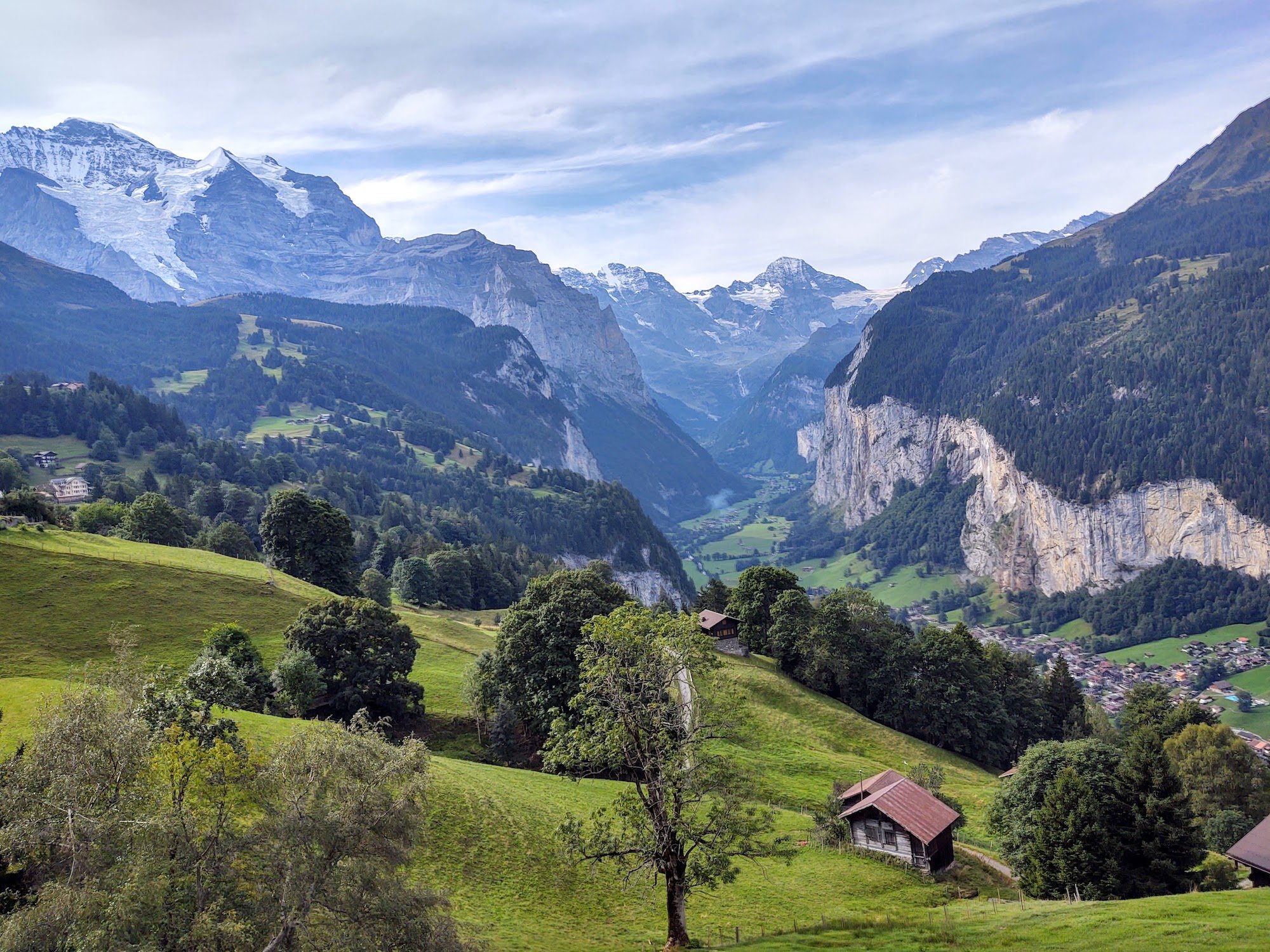
Have you started planning the Tour du Mont Blanc in the usual 11 stages and finding fully booked locations for the dates you want?
You’re not alone!
Accommodation booking anxiety is experienced by most self-guided hikers that book their own accommodation…and a popular conversation topic on the trail :)
When accommodation availability becomes scarce, this 11-day itinerary will keep your TMB dreams alive! Staying at villages and using transport provides you a much needed bed.

Average daily stats:
Distance: 16.5km / 10mi
Elevation gain: 1,000m / 3,300ft
Time (steady pace): 6 hours, not including breaks
Accommodation: Staying in villages that have the most accommodation options
This 11-day itinerary for the Tour du Mont Blanc gets around all of the locations that are typically booked out…without needing to do any camping!
The Hiking Club has always championed self-guided hikers who want to stay in control of their itinerary and costs by planning and booking their own trips. We have over 7 years of experience creating itineraries for the Tour du Mont Blanc that are available to book at any time of the year. Our trip planning app is the 3rd generation of our self-planning product that gives hikers the power to easily create an achievable, inspiring, and available-to-book itinerary in one session.
If you want some assistance in designing an itinerary that is ready for you to book based on your specific dates and requirements, we can do this via our Expert Access package.

Stage 1: Les houches to les contamines
Les Contamines-Montjoie has 6+ hotels/b&bs/refuges and a range of holiday rentals. Hikers rarely have trouble finding accommodation here due to the large number of beds relative to other stages of the trail.
What do you do if you can’t secure accommodation here?
Set cancelled bed alerts at locations such as Chalet-hotel Gai Soleil, La Ferme a Piron, Chalet CAF des Contamines, Gite Les Melezes
Check booking.com for availability in Les Contamines-Montjoie
The next best option is staying at the cabins at Le Pontet campground
Click to expand. The trip planning app is included in all self-guided packages.
Stage 2: Les Contamines-Montjoie to Les Chapieux
Vallée des Chapieux, which includes Refuge de la Nova, Les Chambres du Soleil and Refuge des Mottets, is usually the first area of the trail to be fully booked. Although there are quite a few beds here, only about 20% are available for hikers booking their own trips, with tour companies putting holds on the rest.
You’ve got three options to overcome fully booked locations here;
Stay at the French alpine club hut Refuge de la Croix du Bonhomme
Set cancelled bed alerts for Refuge de la Nova, Les Chambres du Soleil and Refuge des Mottets
Catch the bus (or arrange a taxi) to stay in Bourg Saint Maurice for the night. It takes about 25 mins to reach Bourg Saint Maurice, and there are many accommodation options here.
Click to expand. The trip planning app is included in all self-guided packages.
Stage 3: Les Chapieux to La Visaille Bus stop
Val Veny in Italy, which includes Rifugio Elisabetta and Cabane Combal, is also an area of the trail where it becomes hard to find availability. The next closest accommodation option is actually in Courmayeur…via the direct bus, which departs from La Visaille and takes about 25 mins. We’ve added a little ‘Courmayeur basecamp’ accommodation location in La Visaille which highlights you’re planning to catch the bus to Courmayeur for the night. See available accommodation in Courmayeur.
The following day, return on the bus to La Visaille and rejoin the main Tour du Mont Blanc trail near Cabane Combal.
Click to expand. The trip planning app is included in all self-guided packages.

Stage 4: La Visaille Bus stop to Courmayuer
Courmayeur has a huge amount of accommodation so finding availability isn’t usually a problem. You can use the bus network to reach properties further south if necessary.

Click to expand. The trip planning app is included in all self-guided packages.

Stage 5: Courmayuer to Arp Nouva bus stop
Most hikers will stay a night between Rifugio Bonatti and Rifugio Elena, however, this area can become booked out. When it does, the next closest accommodation option (once again!) is Courmayeur…via the direct bus, which departs from Arp Nouva and takes about 25 mins. We’ve added a little ‘Courmayeur basecamp’ accommodation location in Arp Nouva, which highlights that you’re planning to catch the bus to Courmayeur for the night. See available accommodation in Courmayeur.
Also, don’t forget to set cancelled bed alerts for locations such as Hotel Chalet Val Ferret and Rifugio Elena.
Click to expand. The trip planning app is included in all self-guided packages.

Stage 6: Arp Nouva bus stop to La Fouly
There is usually a surplus of beds in La Fouly for two reasons;
There is 5+ accommodation options in the area
The next stage is a popular one for hikers to skip (use transport) so some people don’t end up staying around here at all.
For these reasons, La Fouly is one of the last places I recommend people book. Use our live availability feature to see which properties have availability on your target date.
Click to expand. The trip planning app is included in all self-guided packages.

Stage 7: La Fouly to Champex Lac
There is a reasonable range of accommodation in Champex Lac, which is further boosted by additional properties in Champex Den Haut and Arpette, which are within reach for most hikers. It is a popular stand-alone destination for people to visit and stay at during the summer so can be fully booked, especially on Friday and Saturday nights.
What do you do if you can’t secure accommodation in this area?
Set cancelled bed alerts for properties such as Hotel Mont Lac, Pension en Plein Air, Relais d’Arpette, Gite Bon Abri and Chalet La Grange
Check Booking.com for availability in Champex and nearby locations
The next best option is taking a ~20-minute bus to Orsières in the valley below, where there is a great hotel at the station and further transport links to find other accommodation nearby.
Click to expand. The trip planning app is included in all self-guided packages.

Stage 8: Champex Lac to Trient
The Trient Valley, which includes Auberge la Grande Ourse, Auberge du Mont-Blanc, Refuge Le Peuty, and Hotel Col de la Forclaz, is an area of Mont Blanc where most Tour du Mont Blanc and Walker’s Haute Route hikers need to stay - making it hard to find availability.
What do you do if you can’t secure accommodation in this area?
Set cancelled bed alerts for Auberge la Grande Ourse, Auberge du Mont-Blanc, Refuge Le Peuty, and Hotel Col de la Forclaz.
Refuge Les Grands and Refuge Col de Balme are two locations typically within reach of strong hikers and provide idyllic locations to spend a night (note you need to bring your own food to cook at Refuge Les Grands).
An infrequent bus that takes ~10 mins runs from Trient to Le Châtelard-Frontière during July and August, where there is a hotel. The departure times to reach the hotel are okay in the afternoon; however, based on last year’s timetable, you won’t be able to reach Trient until about 10am the following day.
A bus that takes ~45mins to reach Martigny where there is a large range of accommodation. The bus runs about 5 times per day - allowing you to depart for Martigny a few times during the afternoon and return to Trient by about 8am the following day.
Click to expand. The trip planning app is included in all self-guided packages.

Stage 9: Trient to Argentiere
Tre-le-Champ is the usual stop for hikers in this area of the trail with Gite le Moulin the typical alternative which also books out early.
Set cancelled bed alerts for Auberge la Boerne, Gite Le Moulin and Chalet CAF du Tour
Argentiere is the next location to look at with a couple of big hotels in the centre of town and various vacation rentals on the outskirts. See accommodation options.
Click to expand. The trip planning app is included in all self-guided packages.

Stage 10: Argentiere to Plan Praz (Chamonix)
Chamonix has a huge amount of accommodation so finding availability isn’t usually a problem. You can use the train or bus network to reach properties up and down the valley. See accommodation options.
Click to expand. The trip planning app is included in all self-guided packages.

Stage 11: Plan Praz (Chamonix) to Les Houches
Les Houches has 4 main accommodation options. However, 3 of them are not in the village center. Hikers can use the bus network to easily reach Chamonix or other locations with accommodation in the valley.
Click to expand. The trip planning app is included in all self-guided packages.
So there you have it. The “TMB Anytime” itinerary for those booking in October, January, March of July. This itinerary will provide you accommodation options so you can make you Tour du Mont Blanc journey a reality!
If you want the “TMB Anytime” itinerary, it’s available in our planning app so all you need to do is buy a self-guided TMB package and this itinerary can be loaded straight into your app for planning, booking, and navigating!
The best time to hike the Tour des Combins is typically from late June to early September, when the weather is most favorable, the trail is clear of snow, and mountain huts are open. The choice between early or late summer depends on your preferences for weather and crowds, but both options offer stunning alpine landscapes and a challenging yet rewarding experience. Read our detailed blog to learn more about when is the best time to hike the Tour des Combins.
The West Highland Way is one of Scotland’s most famous long-distance trails, stretching 97mi / 155km from Milngavie to Fort William. Choosing the right time to hike this spectacular route can make all the difference in your experience.
Here’s a breakdown of what to expect in each season, so you can decide when to take on the adventure.

Spring (March - May)
Wildflowers and fewer crowds
Spring is a fantastic time to hike the West Highland Way, with milder temperatures and the Scottish countryside bursting into life. March can still be quite chilly, especially in the higher sections, but by April and May, the days get longer, and the wildflowers are in bloom. Another advantage of hiking in spring is fewer crowds compared to the peak summer months. However, be prepared for unpredictable weather and occasional heavy rain.
Pros:
Fewer hikers on the trail
Beautiful wildflowers and fresh greenery
Less chance of encountering midges (pesky biting insects)
Cons:
Unpredictable weather with possible late snowfall
Some accommodation may still be closed early in the season

Summer (Jun - Aug)
Long days and peak popularity
If you want the best weather and the longest daylight hours, summer is the prime season. June through August offer warmer temperatures, making it comfortable for long days of walking. The scenery is lush and breathtaking, with clear views of Scotland’s iconic mountains and lochs.
However, summer is also the busiest time, meaning more hikers on the trail and higher demand for accommodation. You’ll also have to deal with Scotland’s infamous midges, which are most active in the warm and humid conditions.
Pros:
Warmest weather and longest days
Stunning scenery in full bloom
Most facilities and accommodations are open
Cons:
The busiest season, requiring advance booking
Midges can be a nuisance, especially in July and August

Autumn (Sep - Nov)
Golden landscapes and cooler air.
For those who love crisp air and golden hues, autumn is a great choice. September still enjoys relatively mild weather with fewer midges, and the changing colors of the trees create a stunning backdrop. By October and November, temperatures drop, and daylight hours shorten, making the trek more challenging. Accommodation options start to decrease as some businesses close for the season.
Pros:
Fewer crowds than summer
Beautiful autumn colors
Less risk of midges after mid-September
Cons:
Shorter daylight hours
Cooler temperatures and potential for heavy rain
Some accommodations and services begin to close
winter (dec - Feb)
A challenge for the experienced
Winter hiking the West Highland Way is not for the faint-hearted. Snow, ice, and strong winds can make the trail treacherous, particularly in exposed areas. However, for experienced hikers equipped with winter gear, the rewards include solitude, snow-covered mountains, and an unforgettable adventure.
Accommodation and services along the route are very limited in winter, so careful planning is essential.
Pros:
Complete solitude and stunning winter landscapes
A true wilderness experience
Cons:
Harsh weather conditions with snow and ice
Short daylight hours
Very limited accommodation and services
The best time depends on your preferences. If you want fewer crowds and mild weather, late spring (April-May) or early autumn (September) are ideal. If you prefer warmer temperatures and don’t mind the crowds (or midges), summer is the way to go. Winter should only be considered by experienced hikers who are well-prepared for extreme conditions.
Whenever you decide to go, the West Highland Way offers an unforgettable journey through some of Scotland’s most spectacular landscapes. Happy hiking!

How much it costs to hike the Walker’s Haute Route is one of the most common questions I’m asked. Armed with my accounting background and mission to make every hikers self-guided dreams come true, I’ve dug deep into the numbers across all the different accommodation types, food and services available to provide firm guidance on what it costs to hike the Walker’s Haute Route.
It costs €826 to plan your own 10-day hike of the Tour du Mont Blanc. This amount comes from our new cost calculator for the Tour du Mont Blanc, which uses over 300 actual customer itineraries and 2023 costs from nearly 100 accommodation and service providers along the trail.
the calculator is for self-guided hikers to estimate how much it will cost them to organise their own hike of the Tour du Mont Blanc based on their preferences. Give it a try!